2026-02-24T17:00:00-07:00
* WHAT...West winds 35 to 50 mph with gusts up to 80 mph possible. * WHERE...The Northern Front Range Foothills, the Mosquito Range, and the Front Range Mountains including, Rocky Mountain National Park and the Indian Peaks. * WHEN...From Tuesday morning through late Tuesday afternoon. * IMPACTS...Gusty winds will blow around unsecured objects and a few power outages may result. Travel could be difficult, especially for high profile vehicles.
Summary
It stands at an impressive elevation of approximately 13,514 feet (or 4,119 meters) above sea level. This makes it one of the notable summits in the region, attracting mountaineers and outdoor enthusiasts alike.
During the winter season, Mount Ypsilon experiences a significant snowpack. Snowfall averages around 200 inches per year, which creates excellent opportunities for winter sports such as skiing and snowboarding. The snowpack range varies depending on the specific year and weather conditions, with the peak snow accumulation typically occurring between December and March.
Mount Ypsilon is known for its magnificent runoff, which feeds into several creeks and rivers in the surrounding area. Roaring River and Fall River are two prominent waterways that receive water from the mountain's melting snowpack. These streams flow through the picturesque Rocky Mountain National Park, providing a scenic backdrop for hikers and nature enthusiasts.
The name "Ypsilon" has an interesting origin. It is derived from the Greek letter "upsilon," which resembles a lowercase "u." The mountain's name is said to have been coined by early explorers and mountaineers who observed the distinctive shape of the peak from certain angles. While there are no specific legends or lore associated with Mount Ypsilon, its unique name and breathtaking beauty continue to captivate those who venture into the Rocky Mountains.
°F
°F
mph
Wind
%
Humidity

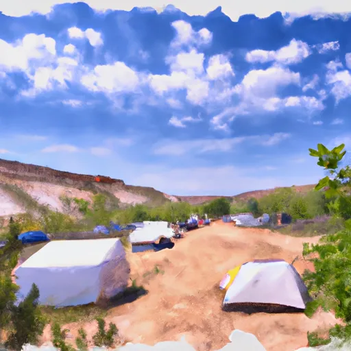 Cutbank campsite
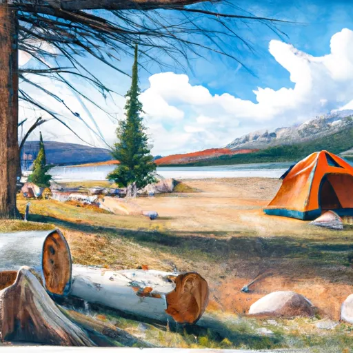 Lawn Lake site 1
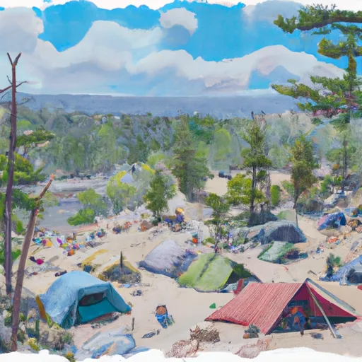 Lawn Lake campsite 3
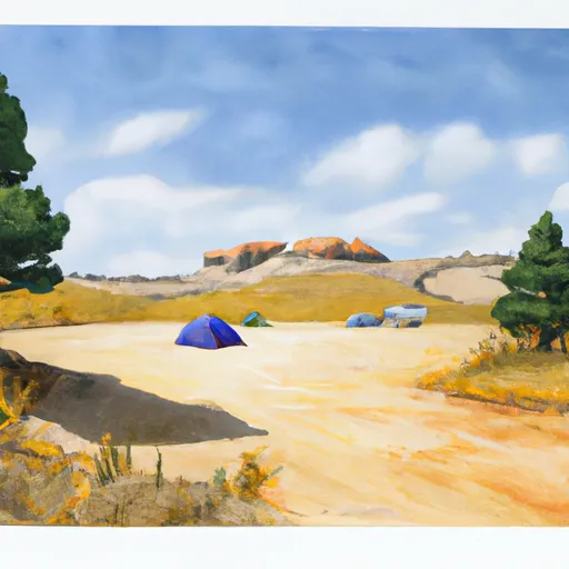 Golden Banner campsite (east) (approx)
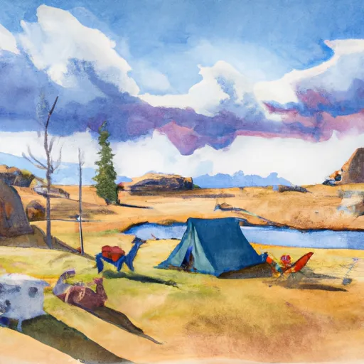 Lawn Lake Llama campsite
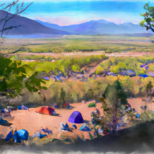 Golden Banner campsite (west)
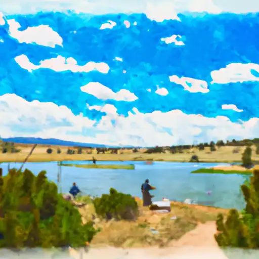 Fay Lake
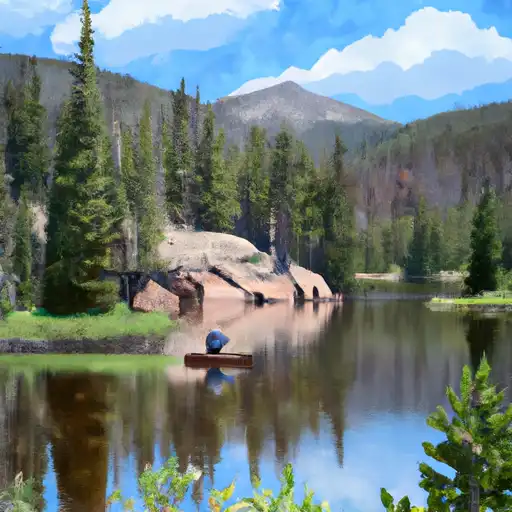 Crystal Lake - RMNP
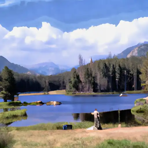 Lawn Lake - RMNP
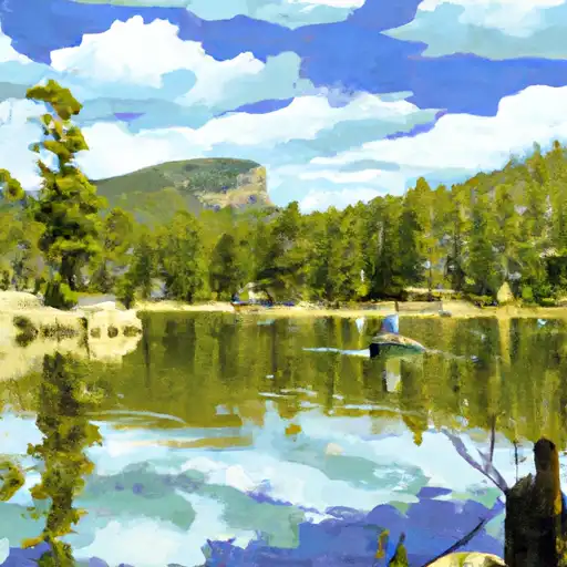 Mirror Lake - RMNP
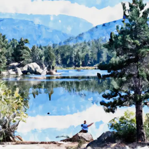 Rock Lake & Little Rock Lake - RMNP