Summary
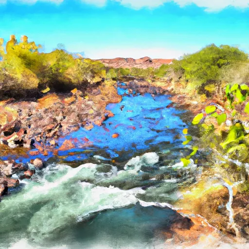
The ideal streamflow range for this stretch of the river is between 800 to 3,000 cubic feet per second (cfs), with the best time for rafting being from March to May. The class rating for this section of the river is Class III-IV, which means it is recommended for experienced rafters and kayakers who have previous whitewater experience.
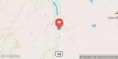
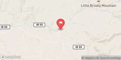
The segment mileage of this section of the Whitewater River Run is approximately 14 miles, starting from Forest Road 24 and ending 0.1 miles above the Fish Barrier. There are several specific river rapids and obstacles to watch out for in this stretch of the river, including the Eye of the Needle, the Glory Hole, and the Wall Rapid. These rapids can be challenging and require skilled paddling techniques to navigate safely.
There are specific regulations to the area that visitors must follow, including obtaining a permit from the White Mountain Apache Tribe and adhering to their rules and regulations. Additionally, visitors are required to pack out all trash and leave the area as they found it to preserve the natural beauty of the river and its surroundings.
°F
°F
mph
Wind
%
Humidity
15-Day Weather Outlook
River Run Details
| Last Updated | 2026-02-07 |
| River Levels | 48 cfs (3.19 ft) |
| Percent of Normal | 18% |
| Status | |
| Class Level | iii-iv |
| Elevation | ft |
| Streamflow Discharge | cfs |
| Gauge Height | ft |
| Reporting Streamgage | USGS 09489500 |
5-Day Hourly Forecast Detail
Nearby Streamflow Levels
Area Campgrounds
| Location | Reservations | Toilets |
|---|---|---|
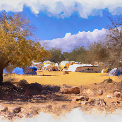 Hannagan Campground
|
||
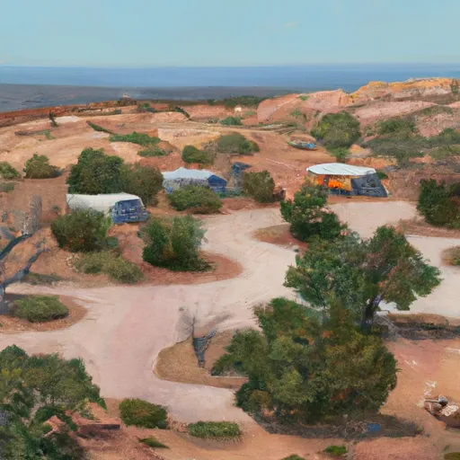 Hannagan
|
||
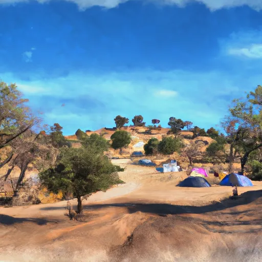 Conklin Creek Campgrounds
|
||
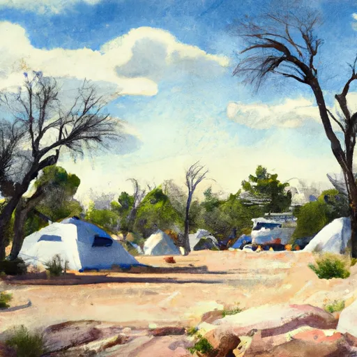 KP Cienega Campground
|
||
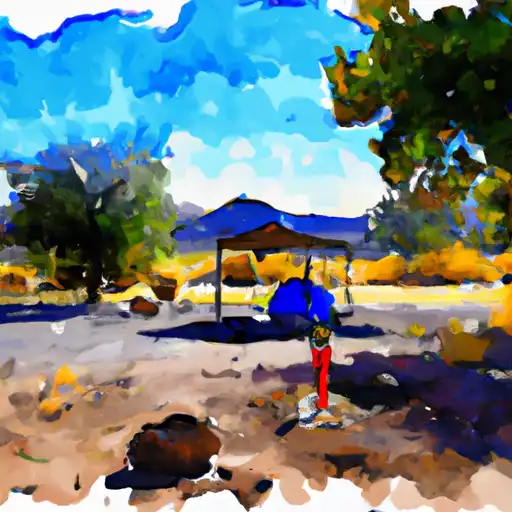 KP Cienega
|
||
 Strayhorse
|
River Runs
-
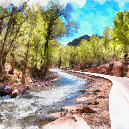 Forest Road 24 To 0.1 Miles Above Fish Barrier
-
 Kp Trailhead To Private Land Boundary In Scetion 11, T2N,R30E,Gila And Salt River Meridian
-
 Xx To Confluence With East Eagle Creek
-
 Headwaters To 1/4 Mile Below Forest Road 587
-
 Confluence Of The North And South Forks Bear Wallow Creek To 0.1 Mile Above Fish Barrier
-
 0.1 Miles Above Fish Barrier To Confluence With Black River


