Summary
The ideal streamflow range for this segment is between 300 and 1000 cubic feet per second (cfs). The class rating is class III-IV, meaning it is suitable for intermediate to advanced paddlers.
The segment mileage is approximately 12 miles, with numerous rapids and obstacles along the way. Some of the notable rapids include House Rock, The Toilet Bowl, Little Bastard, and Horseshoe. There are also several large boulders and strainers that can be hazardous to paddlers.
Specific regulations for this area include the need for a permit to launch a watercraft. Additionally, there are camping restrictions in the area, so it’s important to check with the local authorities before setting up camp. It’s also important to adhere to leave no trace principles to help preserve the natural beauty of the area.
°F
°F
mph
Wind
%
Humidity
15-Day Weather Outlook
River Run Details
| Last Updated | 2026-02-07 |
| River Levels | 7 cfs (2.25 ft) |
| Percent of Normal | 31% |
| Status | |
| Class Level | iii-iv |
| Elevation | ft |
| Streamflow Discharge | cfs |
| Gauge Height | ft |
| Reporting Streamgage | USGS 09497980 |


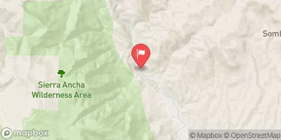
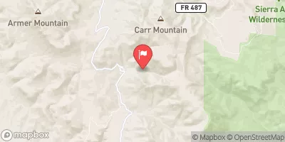
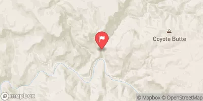
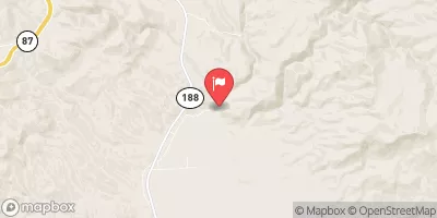
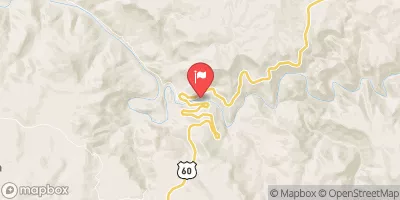
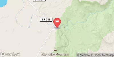
 Forest Road 329 To Billy Lawrence Creek
 Forest Road 486 To Hellsgate Wilderness Boundary
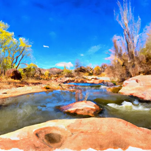 Billy Lawrence Creek To North Property Boundary Of Ellison Ranch
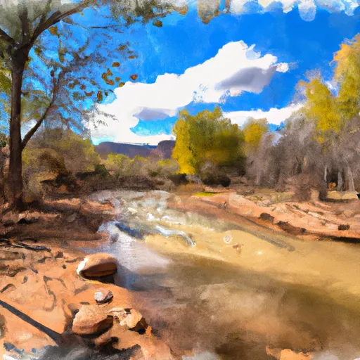 Confluence With Turkey Creek To Forest Road 60 Just Above Tin Hat Ranch
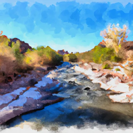 Salome Wilderness Boundary To Confluence With Salome Creek