Summary
The ideal streamflow range for this segment of the river is between 500 and 1,500 cubic feet per second (cfs). The river is rated as Class III-IV, with some challenging Class V rapids. The segment is approximately 24 miles long, beginning at the headwaters within the wilderness and ending at the wilderness boundary.
The Whitewater River Run has several rapids and obstacles to navigate, including House Rock Rapid, which is a challenging Class IV rapid with a steep drop and several large waves. Another notable obstacle is the Horseshoe Rapid, which is a Class V rapid that requires precise maneuvering and expert navigation skills.
There are specific regulations in place to protect the natural environment and ensure visitor safety in the area. Permits are required for all river trips, and only a limited number of permits are issued each year. Additionally, campfires are prohibited, and all waste must be packed out of the area.
In conclusion, the Whitewater River Run Headwaters Within Wilderness To Wilderness Boundary in Arizona is a challenging and exciting river run suitable for experienced white-water rafters. With an ideal streamflow range of 500-1,500cfs, Class III-IV rating, 24-mile segment, and specific rapids and obstacles, this river run requires expert navigation skills. Visitors must also adhere to specific regulations to protect the natural environment and ensure visitor safety.
°F
°F
mph
Wind
%
Humidity
15-Day Weather Outlook
River Run Details
| Last Updated | 2026-02-07 |
| River Levels | 0 cfs (2.66 ft) |
| Percent of Normal | 0% |
| Status | |
| Class Level | iii-iv |
| Elevation | ft |
| Streamflow Discharge | cfs |
| Gauge Height | ft |
| Reporting Streamgage | USGS 09537200 |
5-Day Hourly Forecast Detail
Nearby Streamflow Levels
Area Campgrounds
| Location | Reservations | Toilets |
|---|---|---|
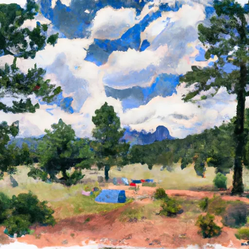 Aspen Saddle Camp
|
||
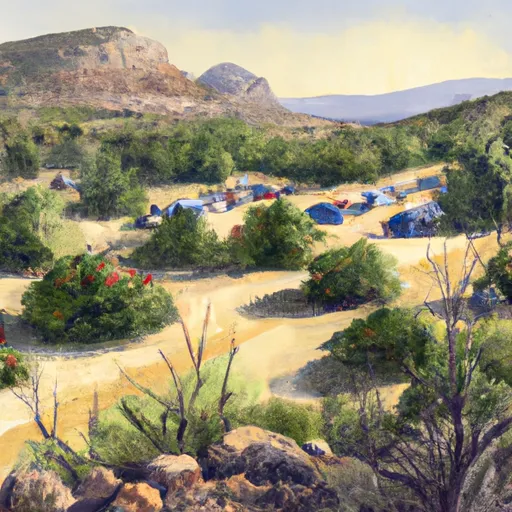 Morse Canyon Campground
|
||
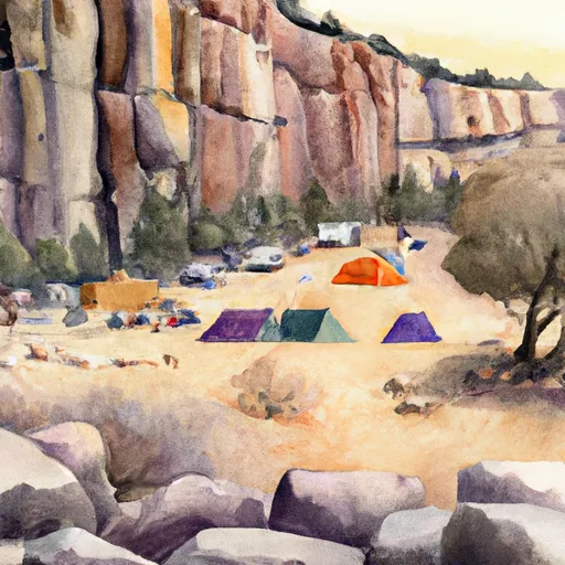 Cliff Camp
|
||
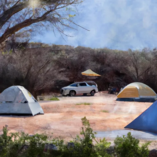 Sycamore Campground
|
||
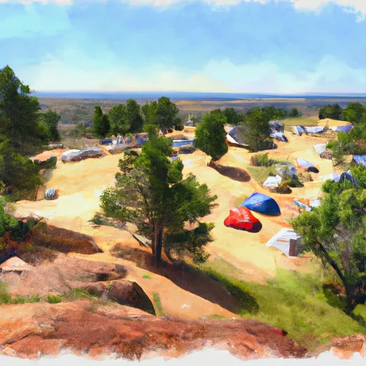 High Camp
|
||
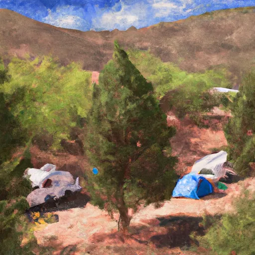 West Turkey Creek Campground
|


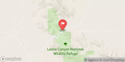
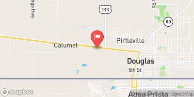
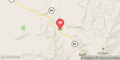
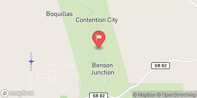
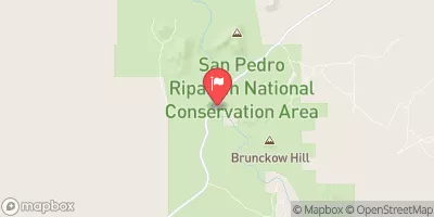
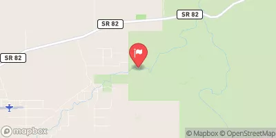
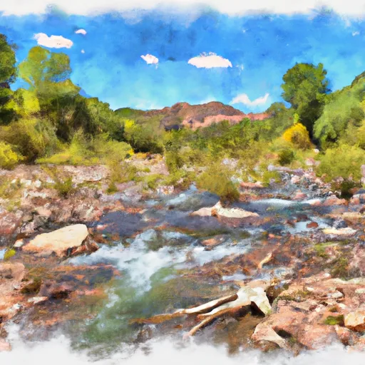 Headwaters Within Wilderness To Wilderness Boundary
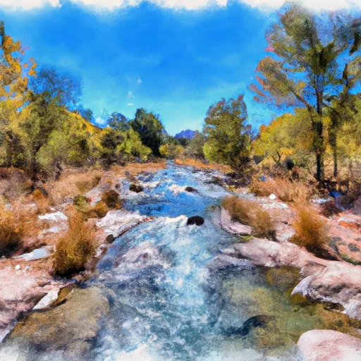 Headwaters To Wilderness Boundary
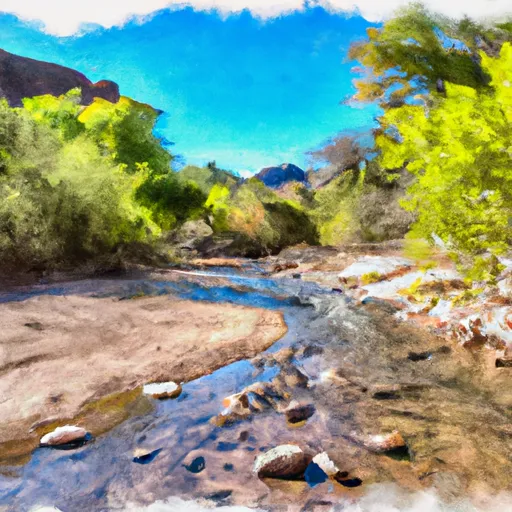 Cima Creek - Headwaters To Wilderness Boundary
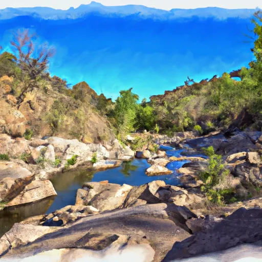 Cower Cave Creek - Wilderness Boundary To Coronado National Forest Boundary (Near Portal)
 Wilderness Boundary To Confluence With Cave Creek