Cower Cave Creek - Wilderness Boundary To Coronado National Forest Boundary (Near Portal) Paddle Report
Last Updated: 2026-02-07
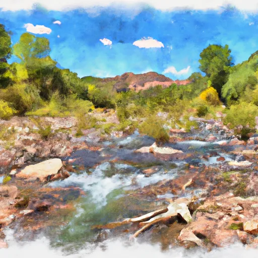
The Whitewater River Run from Cower Cave Creek to the Coronado National Forest Boundary (near Portal) in Arizona is a classic and challenging whitewater experience for experienced paddlers.
Summary
The ideal streamflow range for this section is between 400 and 800 cubic feet per second (cfs) with the best time to run being during the spring snow melt or during summer monsoons.
The rating for this section is Class III-V, with some challenging rapids and obstacles such as the Slot, the Souse Hole, and the Box. The segment mileage is around 8 miles with a total time on the water of around 4-5 hours.
There are specific regulations to the area, including a permit requirement for all boaters, a limit of 12 people per group, and a restriction on the use of motorized equipment. In addition, it is important to follow Leave No Trace principles to preserve the wilderness area.
Overall, the Whitewater River Run is an exciting and challenging experience for experienced paddlers seeking a true wilderness adventure in Arizona. It is important to carefully plan and prepare for this trip, and to respect the regulations and natural environment of the area. Sources consulted include American Whitewater and the National Park Service.
°F
°F
mph
Wind
%
Humidity
15-Day Weather Outlook
River Run Details
| Last Updated | 2026-02-07 |
| River Levels | 0 cfs (2.66 ft) |
| Percent of Normal | 0% |
| Status | |
| Class Level | iii-v |
| Elevation | ft |
| Streamflow Discharge | cfs |
| Gauge Height | ft |
| Reporting Streamgage | USGS 09537200 |
5-Day Hourly Forecast Detail
Nearby Streamflow Levels
Area Campgrounds
| Location | Reservations | Toilets |
|---|---|---|
 Herb Martyr
|
||
 Herb Martyr Campground
|
||
 John Hands Campground
|
||
 John Hands
|
||
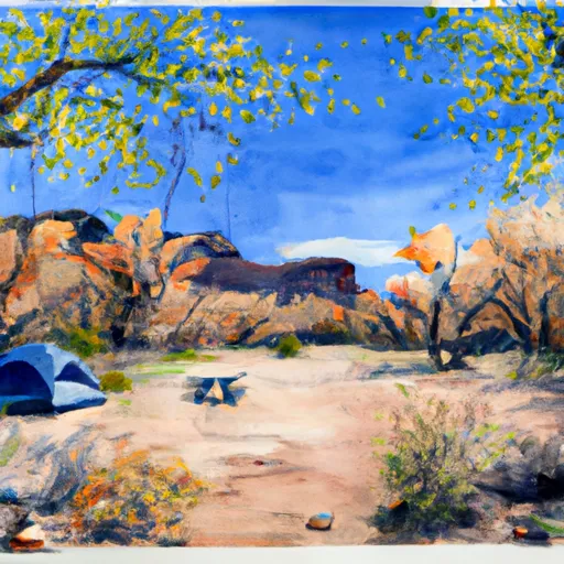 Upper Maple Camp
|
||
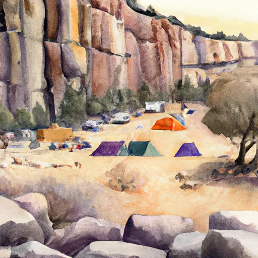 Cliff Camp
|


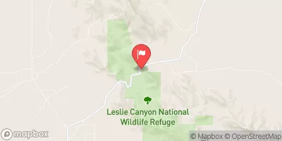
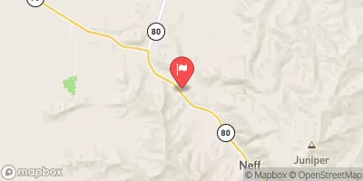
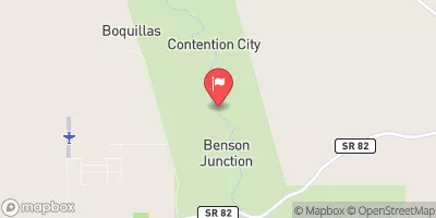
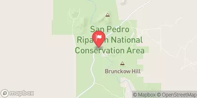
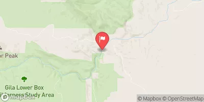
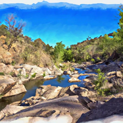 Cower Cave Creek - Wilderness Boundary To Coronado National Forest Boundary (Near Portal)
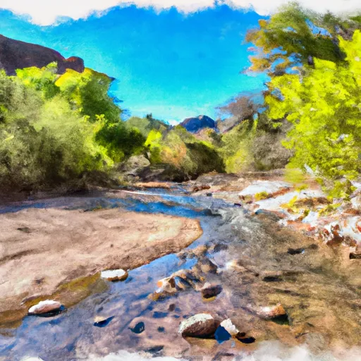 Cima Creek - Headwaters To Wilderness Boundary
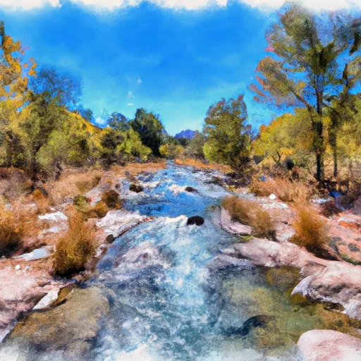 Headwaters To Wilderness Boundary
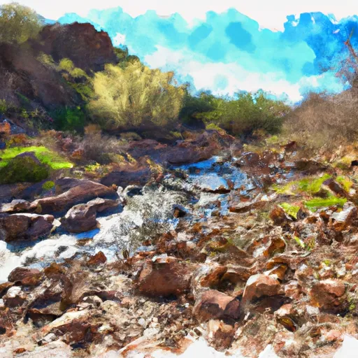 Wilderness Boundary To Confluence With Cave Creek
 Headwaters Within Wilderness To Wilderness Boundary