Summary
The ideal streamflow range for this section is between 400-800 cfs, although it can be run at higher levels with caution. The segment mileage is approximately 8.5 miles and includes several notable rapids such as "The Chute," "The Ledge," and "The Maze."
There are specific regulations to the area that visitors should be aware of. The use of glass containers and disposable plastic containers is not allowed, and all trash must be packed out. Campsites must be at least 200 feet away from water sources, and campfires are not permitted in certain areas during high fire danger times.
°F
°F
mph
Wind
%
Humidity
15-Day Weather Outlook
River Run Details
| Last Updated | 2025-12-01 |
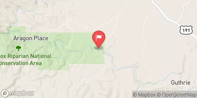
| River Levels | 13 cfs (4.42 ft) |
| Percent of Normal | 1% |
| Status | |
| Class Level | iii-iv |
| Elevation | ft |
| Streamflow Discharge | cfs |
| Gauge Height | ft |
| Reporting Streamgage | USGS 09444200 |
5-Day Hourly Forecast Detail
Nearby Streamflow Levels
Area Campgrounds
| Location | Reservations | Toilets |
|---|---|---|
 Granville
|
||
 Granville Campground
|
||
 Upper Juan Miller Campground
|
||
 Upper Juan Miller
|
||
 Lower Juan Miller
|
||
 Lower Juan Miller Campground
|
River Runs
-
 Headwaters To Confluence With Turkey Creek
-
 Eastern Private Land Boundary In Section 4, T02S, R30E, Gila And Salt Meridian To Confluence With Pigeon Creek
-
 Confluence With Turkey Creek To Confluence With Blue River
-
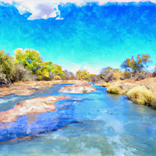 Headwaters To Western Private Land Boundary In Section 4, T02S, R30E, Gila And Salt Meridian
-
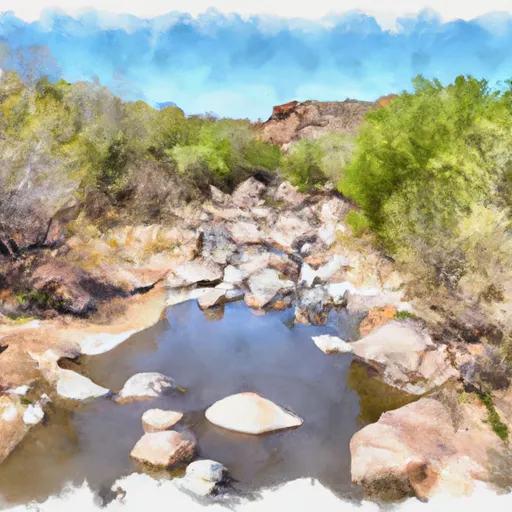 1/2 Mile Below Forest Road 475 To 0.76 Miles Above Confluence With San Francisco River


