Summary
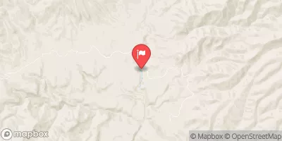
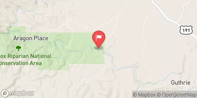
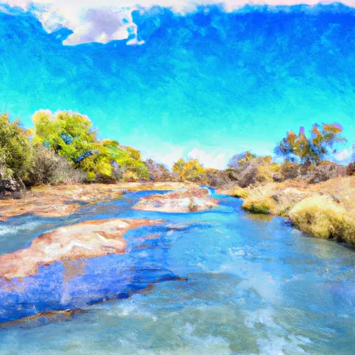
The Whitewater River Run Confluence with Turkey Creek to Confluence with Blue River in Arizona is a popular destination for whitewater enthusiasts. The ideal streamflow range for this stretch of river is between 500 and 2,000 cubic feet per second (cfs), with the best time to visit being in the spring and early summer when snowmelt and rainfall are at their highest.
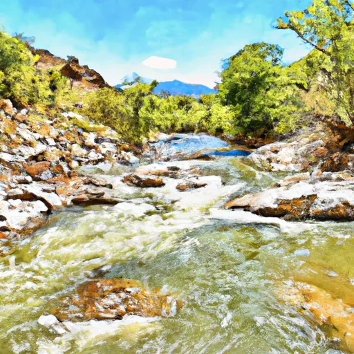
This segment of the Whitewater River is rated as a Class III to IV, with some Class V rapids depending on the water levels. The total distance of the run is approximately 7 miles, with a mix of rapids, pools, and drops. Some of the notable rapids and obstacles include Turkey Creek Falls, Turkey Creek Rapid, and the Blue River Confluence.
There are specific regulations for this area, including a requirement for boating permits and a ban on alcohol. It is also recommended that boaters have proper safety equipment, including helmets and life jackets, and are experienced in whitewater navigation.
°F
°F
mph
Wind
%
Humidity
15-Day Weather Outlook
River Run Details
| Last Updated | 2025-12-01 |
| River Levels | 13 cfs (4.42 ft) |
| Percent of Normal | 1% |
| Status | |
| Class Level | iii-v |
| Elevation | ft |
| Streamflow Discharge | cfs |
| Gauge Height | ft |
| Reporting Streamgage | USGS 09444200 |
5-Day Hourly Forecast Detail
Nearby Streamflow Levels
Area Campgrounds
| Location | Reservations | Toilets |
|---|---|---|
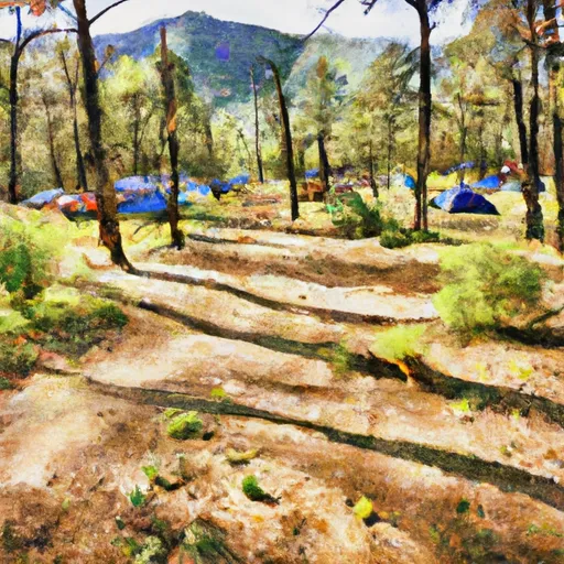 Lower Juan Miller Campground
|
||
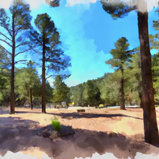 Lower Juan Miller
|
||
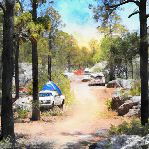 Upper Juan Miller Campground
|
||
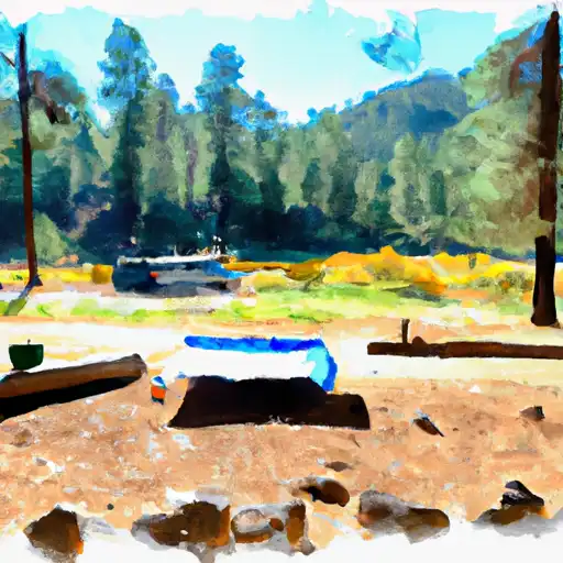 Upper Juan Miller
|
||
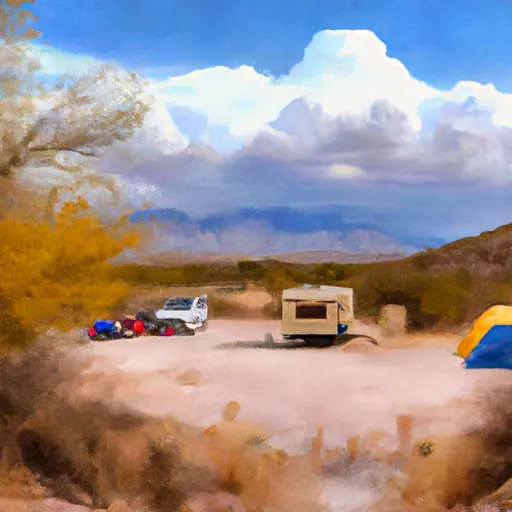 Granville Campground
|
||
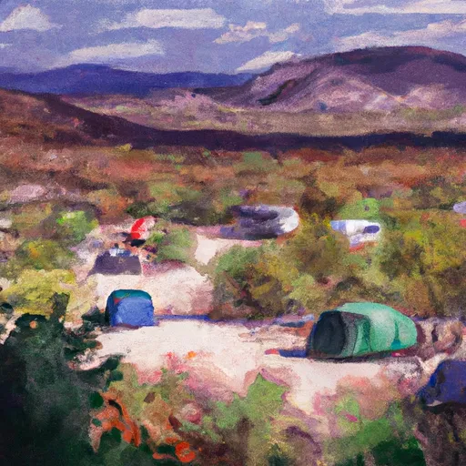 Granville
|
River Runs
-
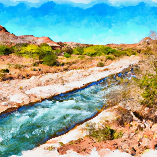 Confluence With Turkey Creek To Confluence With Blue River
-
 Eastern Private Land Boundary In Section 4, T02S, R30E, Gila And Salt Meridian To Confluence With Pigeon Creek
-
 1/2 Mile Below Forest Road 475 To 0.76 Miles Above Confluence With San Francisco River
-
 1/4 Mile Above Blue Creek Trailhead To 1/2 Mile Below Forest Road 475
-
 Headwaters To Western Private Land Boundary In Section 4, T02S, R30E, Gila And Salt Meridian
-
 0.5Miles Above Confluence Of Left And Right Prongs Dix Creek On Left Prong To 0.1 Miles Above Diversion On Dix Creek


