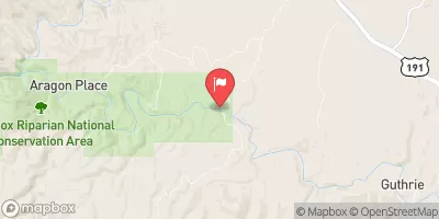
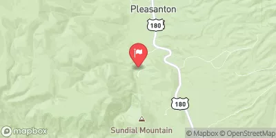
Headwaters To Western Private Land Boundary In Section 4, T02s, R30e, Gila And Salt Meridian Paddle Report
Last Updated: 2025-12-01
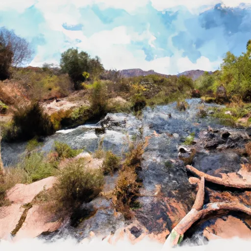
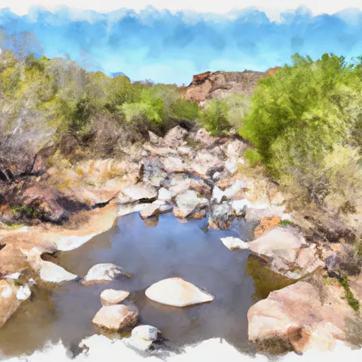
The Whitewater River Run from Headwaters to Western Private Land Boundary in Section 4, T02S, R30E, Gila and Salt Meridian in Arizona is a thrilling water adventure for experienced paddlers.
Summary
The ideal streamflow range for this section is between 200 and 600 cubic feet per second (cfs), depending on the season. The class rating for this section is a mix of Class III and IV, with some sections reaching Class V during high water flows. The segment mileage is approximately 7.5 miles, with several challenging rapids and obstacles such as "The Maze," "The Ledge," and "Wall Slammer."
Specific regulations for this area include obtaining a permit from the Bureau of Land Management (BLM) and following all Leave No Trace principles. Additionally, camping is only allowed at designated sites, and fires are only allowed in established fire rings. Visitors should be aware of the potential for flash flooding during monsoon season and take necessary precautions.
Overall, the Whitewater River Run in Arizona is an exciting and challenging river run for experienced paddlers. It offers beautiful scenery and exciting rapids, but visitors should be prepared and follow all regulations to ensure a safe and enjoyable trip.
°F
°F
mph
Wind
%
Humidity
15-Day Weather Outlook
River Run Details
| Last Updated | 2025-12-01 |
| River Levels | 13 cfs (4.42 ft) |
| Percent of Normal | 1% |
| Status | |
| Class Level | iii-v |
| Elevation | ft |
| Streamflow Discharge | cfs |
| Gauge Height | ft |
| Reporting Streamgage | USGS 09444200 |
5-Day Hourly Forecast Detail
Nearby Streamflow Levels
Area Campgrounds
| Location | Reservations | Toilets |
|---|---|---|
 Upper Juan Miller
|
||
 Upper Juan Miller Campground
|
||
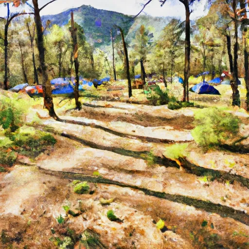 Lower Juan Miller Campground
|
||
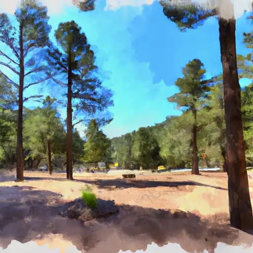 Lower Juan Miller
|
||
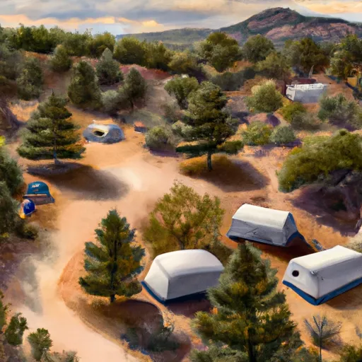 Honeymoon Campground
|
||
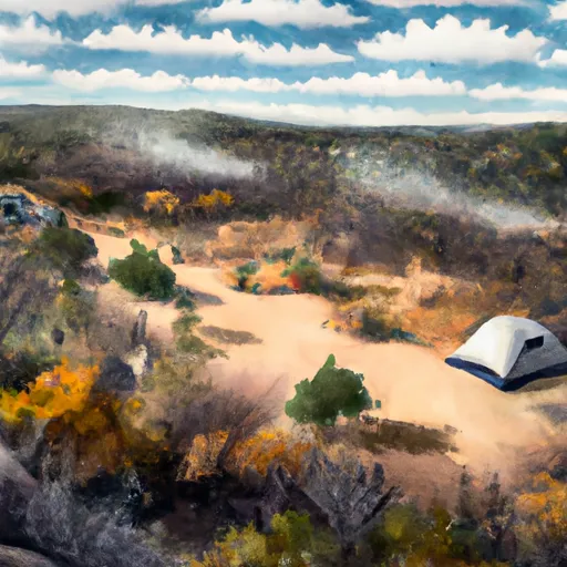 Honeymoon
|
River Runs
-
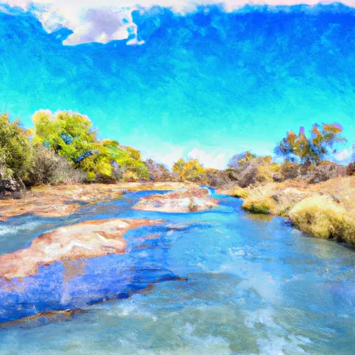 Headwaters To Western Private Land Boundary In Section 4, T02S, R30E, Gila And Salt Meridian
-
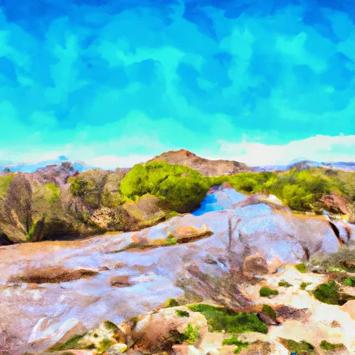 Eastern Private Land Boundary In Section 4, T02S, R30E, Gila And Salt Meridian To Confluence With Pigeon Creek
-
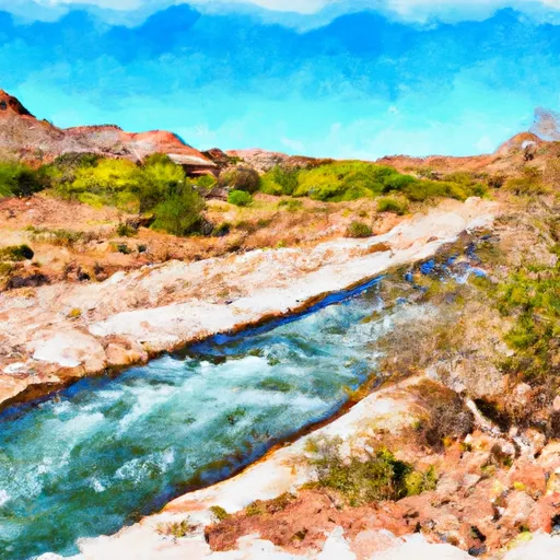 Confluence With Turkey Creek To Confluence With Blue River
-
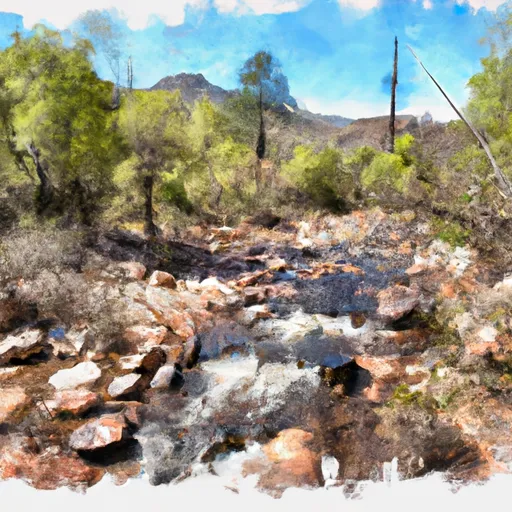 1/4 Mile Above Blue Creek Trailhead To 1/2 Mile Below Forest Road 475
-
 Headwaters To Confluence With Turkey Creek
-
 1/2 Mile Below Forest Road 475 To 0.76 Miles Above Confluence With San Francisco River


