1/4 Mile Above Blue Creek Trailhead To 1/2 Mile Below Forest Road 475 Paddle Report
Last Updated: 2025-12-01
Get the latest Paddle Report, Streamflow Levels, and Weather Forecast for 1/4 Mile Above Blue Creek Trailhead To 1/2 Mile Below Forest Road 475 in Arizona. Arizona Streamflow Levels and Weather Forecast
Summary
°F
°F
mph
Wind
%
Humidity
15-Day Weather Outlook
River Run Details
| Last Updated | 2025-12-01 |
| River Levels | 13 cfs (4.42 ft) |
| Percent of Normal | 1% |
| Status | |
| Class Level | None |
| Elevation | ft |
| Streamflow Discharge | cfs |
| Gauge Height | ft |
| Reporting Streamgage | USGS 09444200 |
5-Day Hourly Forecast Detail
Nearby Streamflow Levels
Area Campgrounds
| Location | Reservations | Toilets |
|---|---|---|
 Lower Juan Miller Campground
|
||
 Lower Juan Miller
|
||
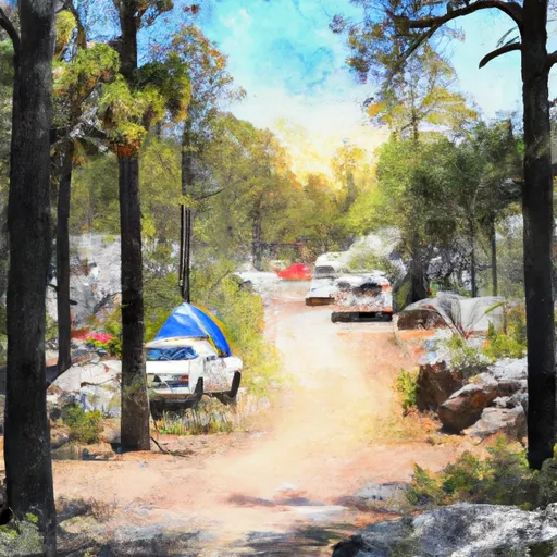 Upper Juan Miller Campground
|
||
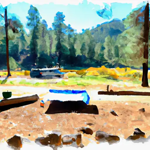 Upper Juan Miller
|
River Runs
-
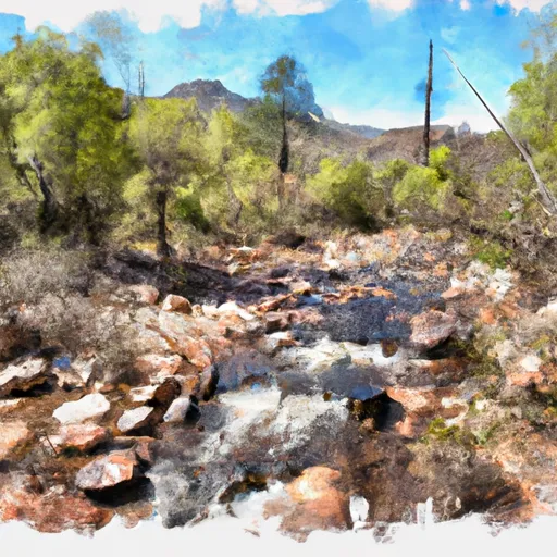 1/4 Mile Above Blue Creek Trailhead To 1/2 Mile Below Forest Road 475
-
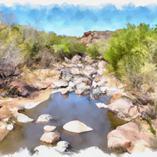 1/2 Mile Below Forest Road 475 To 0.76 Miles Above Confluence With San Francisco River
-
 Confluence With Turkey Creek To Confluence With Blue River
-
 Eastern Private Land Boundary In Section 4, T02S, R30E, Gila And Salt Meridian To Confluence With Pigeon Creek
-
 Headwaters To Western Private Land Boundary In Section 4, T02S, R30E, Gila And Salt Meridian
-
 Confluence With Harden Cienega Creek To Apache-Sitgreaves National Forest Boundary


