Summary
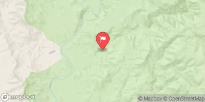
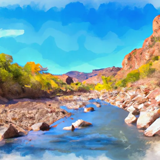
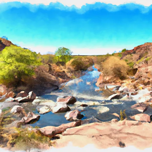
The ideal streamflow range for this river run is between 500 and 2,000 cubic feet per second (cfs). The segment covers a distance of about 18 miles and is rated as Class III to IV, with some Class V rapids in high water conditions.
The most notable rapids in this segment are the Entrance Rapid, Boneyard Rapid, Snaggletooth Rapid, and the Last Chance Rapid. These rapids offer exciting challenges for experienced whitewater paddlers. Additionally, the river has several obstacles, including rocks, boulders, and strainers, which can be hazardous to paddlers and should be approached with caution.
There are specific regulations to the area that paddlers must adhere to, such as obtaining a permit before launching and following Leave No Trace principles to minimize the impact on the environment. Additionally, all paddlers must wear a personal floatation device (PFD) at all times while on the river.
In conclusion, the Whitewater river run Hellsgate Wilderness Boundary to Confluence With Tonto Creek offers an exciting and challenging experience for experienced whitewater paddlers. The ideal streamflow range, class rating, segment mileage, specific river rapids/obstacles, and regulations to the area should be considered before embarking on this adventure.
°F
°F
mph
Wind
%
Humidity
15-Day Weather Outlook
River Run Details
| Last Updated | 2026-02-07 |
| River Levels | 19 cfs (2.01 ft) |
| Percent of Normal | 14% |
| Status | |
| Class Level | iii-v |
| Elevation | ft |
| Streamflow Discharge | cfs |
| Gauge Height | ft |
| Reporting Streamgage | USGS 09499000 |
5-Day Hourly Forecast Detail
Nearby Streamflow Levels
Area Campgrounds
| Location | Reservations | Toilets |
|---|---|---|
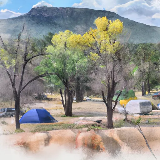 Alderwood
|
||
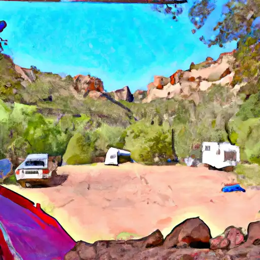 Haigler Canyon
|
||
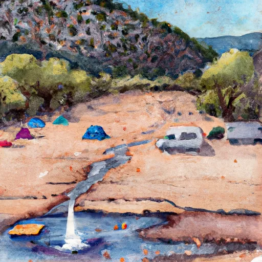 Haigler Canyon Campground and Day Use
|
||
 Ponderosa
|
||
 Ponderosa Campground and Group Sites
|


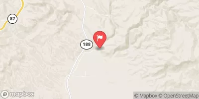
 Hellsgate Wilderness Boundary To Confluence With Tonto Creek
 Forest Road 486 To Hellsgate Wilderness Boundary
 Northern Boundary Of Hellsgate Wilderness To Southern Boundary Of Hellsgate Wilderness
 Hell's Gate Canyon
 Confluence With Cocomunga Creek To Confluence With Gun Creek