Sec Line Between 29/20, T28n, R3e To Sec Line Between 14/23, T27n, R2e, Just East Of Black Rock Paddle Report
Last Updated: 2026-01-26
Get the latest Paddle Report, Streamflow Levels, and Weather Forecast for Sec Line Between 29/20, T28n, R3e To Sec Line Between 14/23, T27n, R2e, Just East Of Black Rock in California. California Streamflow Levels and Weather Forecast
Summary
°F
°F
mph
Wind
%
Humidity
15-Day Weather Outlook
River Run Details
| Last Updated | 2026-01-26 |
| River Levels | 323 cfs (1.92 ft) |
| Percent of Normal | 93% |
| Status | |
| Class Level | None |
| Elevation | ft |
| Streamflow Discharge | cfs |
| Gauge Height | ft |
| Reporting Streamgage | USGS 11383500 |
5-Day Hourly Forecast Detail
Nearby Streamflow Levels
 Deer C Nr Vina Ca
|
231cfs |
 Mill C Nr Los Molinos Ca
|
245cfs |
 Sacramento R Ab Bend Bridge Nr Red Bluff Ca
|
11900cfs |
 Battle C Bl Coleman Fish Hatchery Nr Cottonwood Ca
|
365cfs |
 Cottonwood C Nr Cottonwood Ca
|
454cfs |
 Butte C Nr Chico Ca
|
328cfs |
Area Campgrounds
| Location | Reservations | Toilets |
|---|---|---|
 Butte Meadows Campground
|
||
 Butte Meadows
|
||
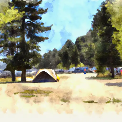 Hole In The Ground
|
||
 Hole-in-the-Ground Campground
|
||
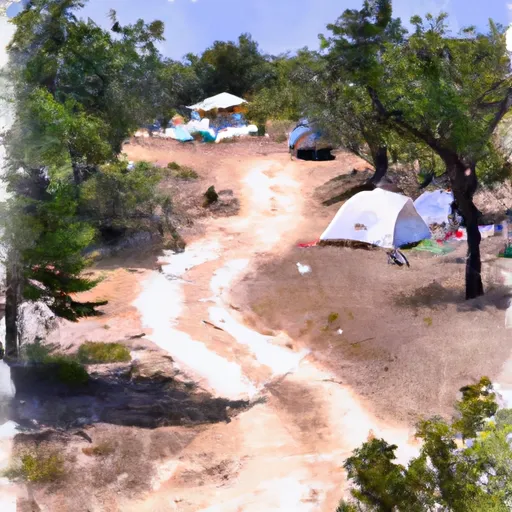 Battle Creek Campground
|
||
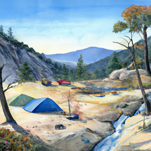 Battle Creek
|
River Runs
-
 Sec Line Between 29/20, T28N, R3E To Sec Line Between 14/23, T27N, R2E, Just East Of Black Rock
-
 Sec Line Between 14/23, T27N, R2E To One Mile Downstream From Black Rock
-
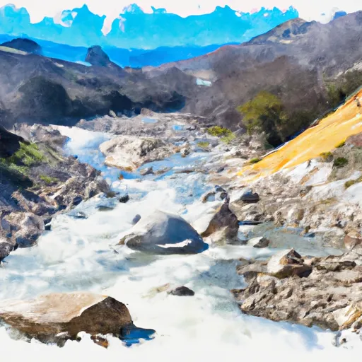 Deer Creek-Highway 32 Junction To Sec 26, T27N, R3E, West Of Deer Creek Crossing
-
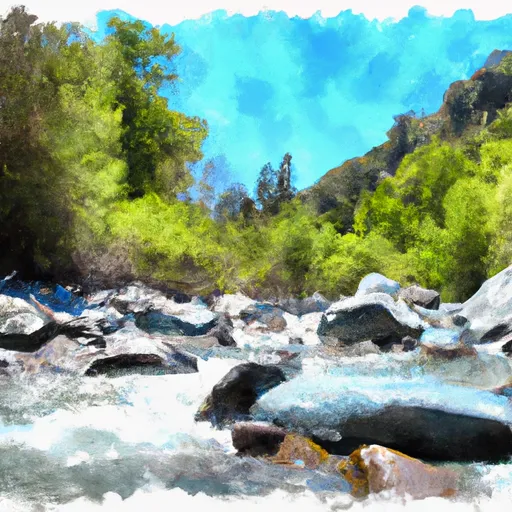 One Mile Downstream From Black Rock To Western Nf Boundary
-
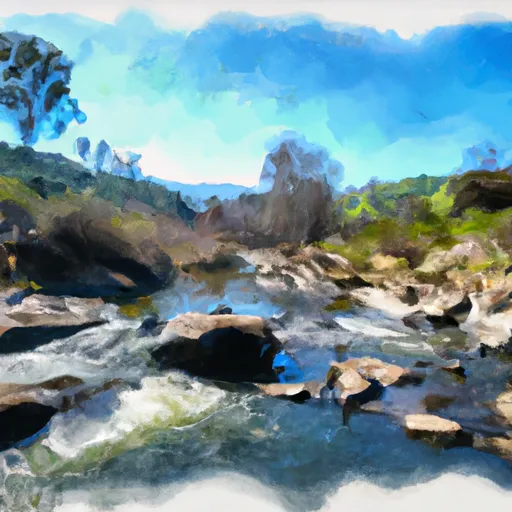 Deer Creek Crossing To Just Below Confluence With Beaver Creek
-
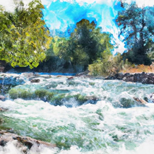 Mill Creek

