Summary
The ideal streamflow range for this run is between 200 and 500 cubic feet per second (cfs), which makes it suitable for intermediate paddlers. The stretch of river is rated as Class II-III, with several technical rapids and obstacles such as Teddy Bears, Staircase, and Pinball.
There are specific regulations in place for this area, including mandatory life jacket use for all paddlers, no littering, and no camping within 300 feet of the river. It is also important to note that permits are required for overnight stays and group sizes are limited to 12 people.
Overall, the Whitewater River run is a popular destination for whitewater enthusiasts seeking a moderate challenge. It is important to check current flow conditions before heading out, as the river can become dangerous during periods of high water.
°F
°F
mph
Wind
%
Humidity
15-Day Weather Outlook
River Run Details
| Last Updated | 2026-02-07 |
| River Levels | 323 cfs (1.92 ft) |
| Percent of Normal | 33% |
| Status | |
| Class Level | ii-iii |
| Elevation | ft |
| Streamflow Discharge | cfs |
| Gauge Height | ft |
| Reporting Streamgage | USGS 11383500 |
5-Day Hourly Forecast Detail
Nearby Streamflow Levels
 Deer C Nr Vina Ca
|
490cfs |
 Mill C Nr Los Molinos Ca
|
460cfs |
 Sacramento R Ab Bend Bridge Nr Red Bluff Ca
|
11600cfs |
 Battle C Bl Coleman Fish Hatchery Nr Cottonwood Ca
|
528cfs |
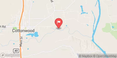 Cottonwood C Nr Cottonwood Ca
|
1650cfs |
 Butte C Nr Chico Ca
|
612cfs |
River Runs
-
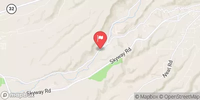
 One Mile Downstream From Black Rock To Western Nf Boundary
-
 Mill Creek
-
 South Fork From Antelope Campground To One-Quarter Mile Above North Fork Antelope Creek
-
 Mcclure Place (North Fork) To Nf Boundary At Payne Place (Dept. Of Fish And Game Land)
-
 Sec Line Between 14/23, T27N, R2E To One Mile Downstream From Black Rock
-
 Sec Line Between 29/20, T28N, R3E To Sec Line Between 14/23, T27N, R2E, Just East Of Black Rock

