Summary
The ideal streamflow range for this river is between 500 and 1,000 cubic feet per second (cfs), which provides optimal rapids and obstacles for a fun and challenging experience.
The segment mileage for this river run is approximately 9.5 miles, with a class rating of III-IV. This means that paddlers can expect to encounter rapids and obstacles that require technical moves and precise navigation skills. Some of the specific rapids and obstacles on this section of the river include Pinball, The Maze, and Deadman's Drop.
Paddlers must adhere to specific regulations in this area, including obtaining a permit from the California Department of Parks and Recreation, carrying necessary safety equipment such as a personal flotation device and helmet, and following Leave No Trace principles to minimize impact on the environment.
Overall, the whitewater river run from Elam Creek Campground to Deer Creek-Highway 32 Junction in California is a challenging and exciting adventure for experienced paddlers. It is important to carefully review streamflow ranges, class ratings, and specific regulations before embarking on this adventure to ensure a safe and enjoyable experience.
°F
°F
mph
Wind
%
Humidity
15-Day Weather Outlook
River Run Details
| Last Updated | 2026-02-07 |
| River Levels | 323 cfs (1.92 ft) |
| Percent of Normal | 33% |
| Status | |
| Class Level | None |
| Elevation | ft |
| Streamflow Discharge | cfs |
| Gauge Height | ft |
| Reporting Streamgage | USGS 11383500 |
5-Day Hourly Forecast Detail
Nearby Streamflow Levels
 Deer C Nr Vina Ca
|
490cfs |
 Mill C Nr Los Molinos Ca
|
460cfs |
 Butte C Nr Chico Ca
|
612cfs |
 Spanish C Ab Blackhawk C At Keddie Ca
|
202cfs |
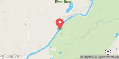 Sacramento R Ab Bend Bridge Nr Red Bluff Ca
|
11600cfs |
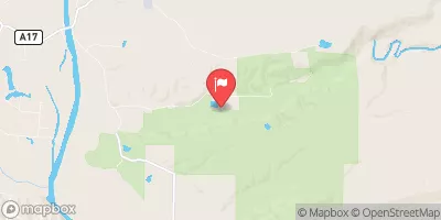 Battle C Bl Coleman Fish Hatchery Nr Cottonwood Ca
|
528cfs |
Area Campgrounds
| Location | Reservations | Toilets |
|---|---|---|
 Cherry Hill Campground
|
||
 Cherry Hill
|
||
 Butte Meadows Campground
|
||
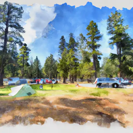 Butte Meadows
|
||
 Elam
Elam
|
||
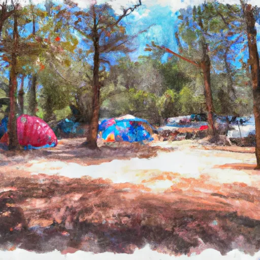 Elam Campground
|
River Runs
-
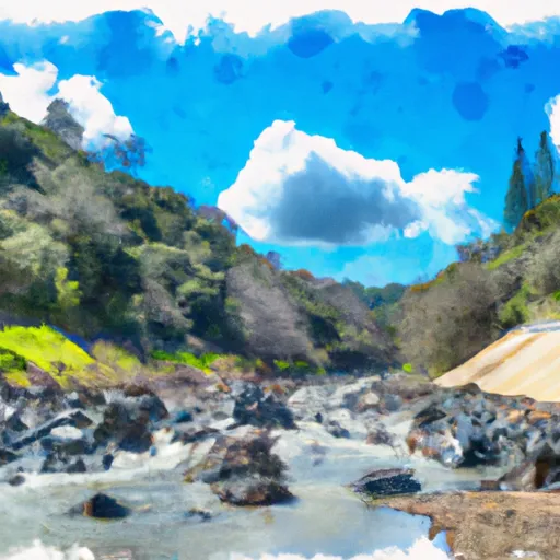 Elam Creek Campground To Deer Creek-Highway 32 Junction
-
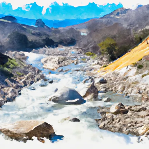 Deer Creek-Highway 32 Junction To Sec 26, T27N, R3E, West Of Deer Creek Crossing
-
 One-Half Mile Downstream From Hole-In-The-Ground To Sec Line Between 29/20 T28N, R3E, Below Big Bend
-
 Sec Line Between 29/20, T28N, R3E To Sec Line Between 14/23, T27N, R2E, Just East Of Black Rock
-
 Sec Line Between 14/23, T27N, R2E To One Mile Downstream From Black Rock
-
 Just Below Highway 36 Crossing To One-Half Mile Downstream From Hole-In-The-Ground

