Summary
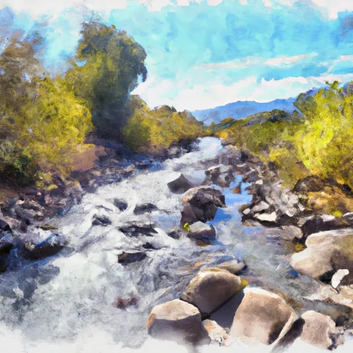
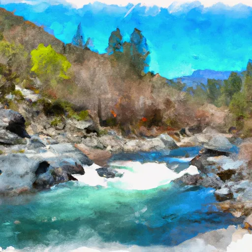
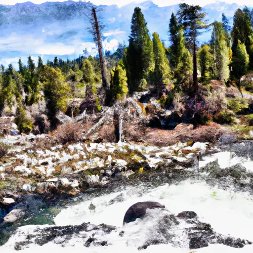
The ideal streamflow range for this river is between 500 and 2,000 cubic feet per second (cfs) to ensure a thrilling ride while maintaining safety. The class rating for this section of the river is class III to IV, making it suitable for experienced kayakers and rafters.
The segment mileage for this run is approximately 9 miles, and it is known for its steep gradient, tight channels, and challenging rapids. Some of the notable rapids and obstacles include the Squeeze, a narrow chute between boulders; the Pinball, a series of boulder-strewn drops; and the Toilet Bowl, a swirling eddy that can trap unwary boaters.
There are specific regulations that apply to the Whitewater River Run Headwaters. All boaters are required to have a valid California boating license, and all vessels must be equipped with appropriate safety equipment, including life jackets and helmets. Camping and fires are not allowed along the riverbanks, and visitors are asked to pack out all trash and waste.
Overall, the Whitewater River Run Headwaters is a challenging and exciting run that attracts experienced whitewater enthusiasts from all over the world. It is important to follow all safety regulations and guidelines to ensure a safe and enjoyable experience.
°F
°F
mph
Wind
%
Humidity
15-Day Weather Outlook
River Run Details
| Last Updated | 2026-02-07 |
| River Levels | 13 cfs (3.51 ft) |
| Percent of Normal | 12% |
| Status | |
| Class Level | iii |
| Elevation | ft |
| Streamflow Discharge | cfs |
| Gauge Height | ft |
| Reporting Streamgage | USGS 11480390 |
5-Day Hourly Forecast Detail
Nearby Streamflow Levels
 Mad R Ab Ruth Res Nr Forest Glen Ca
|
216cfs |
 Mf Eel R Nr Dos Rios Ca
|
1670cfs |
 Elder C Nr Paskenta Ca
|
216cfs |
 Eel R A Fort Seward Ca
|
6240cfs |
 Sf Eel R A Leggett Ca
|
1480cfs |
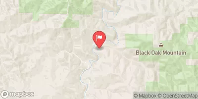 Elder C Nr Branscomb Ca
|
26cfs |
Area Campgrounds
| Location | Reservations | Toilets |
|---|---|---|
 Police Camp
|
||
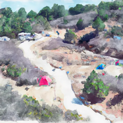 Watertrough Camp
|
||
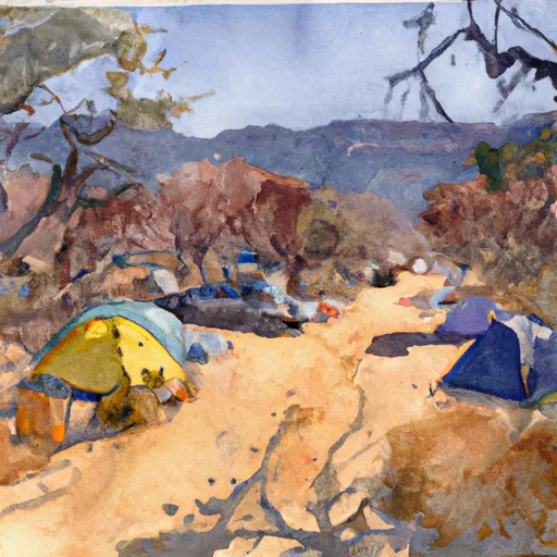 Brown Camp
|
||
 Last Camp
|
||
 Cherry Camp
|
||
 Hammerhorn Lake
|


 Headwaters In Sec 27, T26N, R10W To Confluence With Middle Fork Eel River
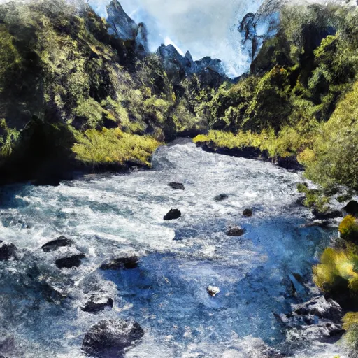 Headwaters In Sec 27, T26N, R10W To One Mile North Of Fern Point, At Boundary Of Designated Eel River
 Hulls Creek
 Casoose Creek
 Headwaters (At Wilderness Boundary) To West Section Line Of Sec 28, T28S,R11W