2026-02-22T10:00:00-08:00
* WHAT...Southeast winds 25 to 35 mph with gusts up to 75 mph. * WHERE...Humboldt Interior, Del Norte Interior, and Southwestern Humboldt. * WHEN...Until 10 AM PST Sunday. * IMPACTS...Wind gusts will be particularly strong along windward ridges and exposed coastal headlands.
Summary
This stretch of river runs from Headwaters in Sec. 27, T2S, R2W, Hm to its junction with the Mattole River, covering a distance of approximately 20 miles. The ideal streamflow range for this river is between 500 and 1,000 cubic feet per second (cfs), which can vary depending on the season and weather conditions. The river is classified as Class III-IV, which means that it is moderately difficult, with moderate to high waves and rapids, and requires considerable maneuvering skills.
There are several challenging rapids and obstacles on this section of the river, including the Triple Drop, which is a series of three drops that require precise navigation. Other notable rapids include the S-Turn, the Devil's Elbow, and the Witches Cauldron. It is important to note that this river is only suitable for experienced kayakers and rafters.
There are specific regulations that apply to this area, including restrictions on camping and fires. Visitors are advised to check with local authorities for updates on regulations and restrictions. It is also important to be aware of the potential environmental impact of recreational activities on the river and its surroundings and to practice responsible outdoor ethics while enjoying this beautiful natural resource.
°F
°F
mph
Wind
%
Humidity
15-Day Weather Outlook
River Run Details
| Last Updated | 2026-02-07 |
| River Levels | 117 cfs (12.28 ft) |
| Percent of Normal | 9% |
| Status | |
| Class Level | iii-iv |
| Elevation | ft |
| Run Length | 3.0 Mi |
| Streamflow Discharge | cfs |
| Gauge Height | ft |
| Reporting Streamgage | USGS 11469000 |
5-Day Hourly Forecast Detail
Nearby Streamflow Levels
 Mattole R Nr Petrolia Ca
|
1390cfs |
 Bull C Nr Weott Ca
|
266cfs |
 Eel R A Scotia Ca
|
13300cfs |
 Mattole R Nr Ettersburg Ca
|
572cfs |
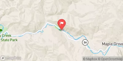 Van Duzen R Nr Bridgeville Ca
|
461cfs |
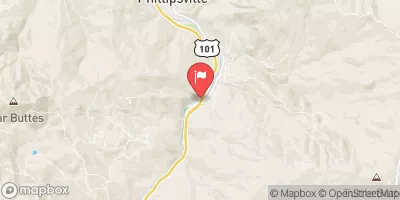 Sf Eel R Nr Miranda Ca
|
2830cfs |
Area Campgrounds
| Location | Reservations | Toilets |
|---|---|---|
 A.W. Way County Park
|
||
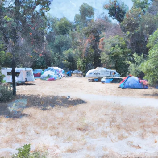 Arthur W. Way County Memorial Park Campground
|
||
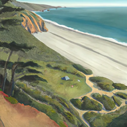 Sea Lion Gulch
|
||
 Mattole
|
||
 Cooskie Creek
|
||
 Randall Creek
|
River Runs
-
 Headwaters In Sec. 27., T2S, R2W, Hm To To Its Junction With The Mattole River
-
 From Its Headwaters In Sec. 21, T2S, R2W, Hm To To Its Junction With The Mattole River
-
 From Its Headwaters In Sec 27, T2S, R2W, Hm To To The Pacific Ocean
-
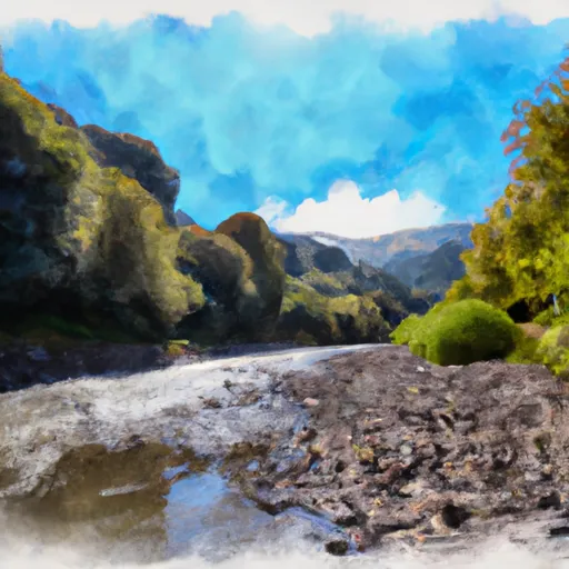 Mattole River
-
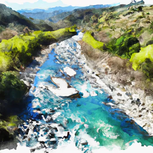 From Private Land Boundary Between Sec. 8 And 17, T2S, R2W, Hm To To The Pacific Ocean
-
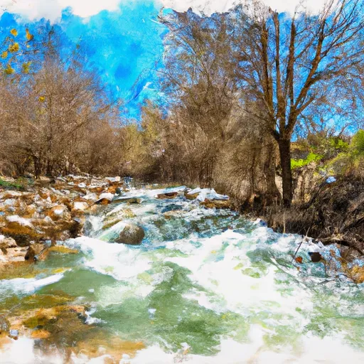 Mill Creek

