2026-02-22T10:00:00-08:00
* WHAT...Southeast winds 30 to 40 mph with gusts up to 70 mph expected. Higher gusts over high, exposed terrain. * WHERE...Humboldt Interior, Del Norte Interior, and Southwestern Humboldt. * WHEN...Until 10 AM PST Sunday. * IMPACTS...Wind gusts will be particularly strong along windward ridges and exposed coastal headlands. Damaging winds will blow down trees and power lines. Widespread power outages are expected. Travel will be difficult. * ADDITIONAL DETAILS...A prolonged period of strong winds is expected to continue through Sunday morning. Winds are expected to increase to up to 60 mph today, peaking up to 70 mph tonight into Sunday. Locally up to 80 mph possible.
Summary
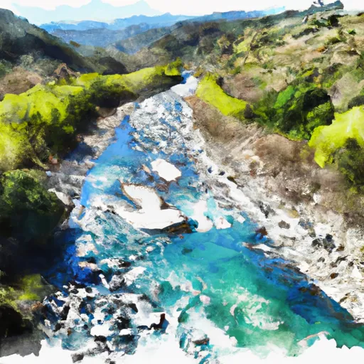
21, T2S, R2W, Hm and flows for approximately 28 miles until it reaches its junction with the Mattole River in California. The ideal streamflow range for this run is between 100 and 500 cfs, although it can run higher during peak runoff periods. The class rating for this run ranges from Class II to Class IV, with the most challenging rapids found in the lower sections of the river.
The segment mileage for this run is broken down into three sections: the upper, middle, and lower. The upper section is approximately 10 miles long and features mostly Class II rapids with a few Class III sections. The middle section is around 7 miles long and is characterized by steep and narrow canyons with continuous Class III rapids. The lower section is the most challenging, with a mix of Class III and IV rapids, steep drops, and tight channels.
Specific rapids and obstacles to look out for on this run include Pinball, a Class III rapid in the middle section, and Triple Threat, a complex Class IV rapid in the lower section. There are no specific regulations to this area, but it is important to practice Leave No Trace principles and respect private property along the river.
Overall, the Whitewater River run offers a diverse range of rapids and challenges for intermediate to advanced kayakers and rafters. It is important to check water levels and bring appropriate gear and safety equipment before attempting this run.
°F
°F
mph
Wind
%
Humidity
15-Day Weather Outlook
River Run Details
| Last Updated | 2026-02-07 |
| River Levels | 117 cfs (12.28 ft) |
| Percent of Normal | 9% |
| Status | |
| Class Level | ii-iv |
| Elevation | ft |
| Run Length | 2.0 Mi |
| Streamflow Discharge | cfs |
| Gauge Height | ft |
| Reporting Streamgage | USGS 11469000 |
5-Day Hourly Forecast Detail
Nearby Streamflow Levels
 Mattole R Nr Petrolia Ca
|
1390cfs |
 Bull C Nr Weott Ca
|
266cfs |
 Eel R A Scotia Ca
|
13300cfs |
 Mattole R Nr Ettersburg Ca
|
572cfs |
 Van Duzen R Nr Bridgeville Ca
|
461cfs |
 Sf Eel R Nr Miranda Ca
|
2830cfs |
Area Campgrounds
| Location | Reservations | Toilets |
|---|---|---|
 Sea Lion Gulch
|
||
 Mattole
|
||
 A.W. Way County Park
|
||
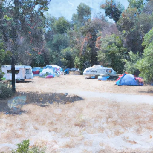 Arthur W. Way County Memorial Park Campground
|
||
 Cooskie Creek
|
||
 Randall Creek
|
River Runs
-
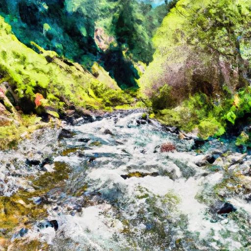 From Its Headwaters In Sec. 21, T2S, R2W, Hm To To Its Junction With The Mattole River
-
 Headwaters In Sec. 27., T2S, R2W, Hm To To Its Junction With The Mattole River
-
 From Its Headwaters In Sec 27, T2S, R2W, Hm To To The Pacific Ocean
-
 Mill Creek
-
 Mattole River
-
 From Private Land Boundary Between Sec. 8 And 17, T2S, R2W, Hm To To The Pacific Ocean

