2026-02-18T16:00:00-08:00
* WHAT...Heavy snow. Additional snow accumulations up to 8 inches. Winds gusting as high as 35 mph. * WHERE...Southwestern Humboldt. * WHEN...Until 4 PM PST Wednesday. * IMPACTS...Roads, and especially bridges and overpasses, will likely become slick and hazardous. Travel could be very difficult. Snow may no * ADDITIONAL DETAILS...Snow is possible down to 1,000 feet and small hail may create slippery conditions below the snow level.
From Its Headwaters In Sec. 18, T3s, R1w, Hm To To The Pacific Ocean Paddle Report
Last Updated: 2026-02-07
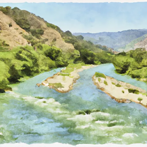
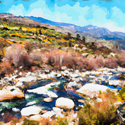
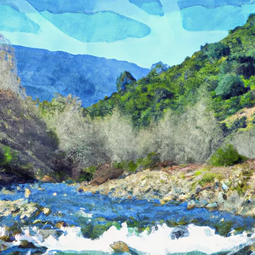
The Whitewater River is a popular river run that originates in the San Bernardino Mountains in Southern California and flows into the Coachella Valley before emptying into the Salton Sea in the Pacific Ocean.
Summary
The ideal streamflow range for this river is between 100-500 cfs, which provides ideal class III-IV rapids for experienced paddlers. The total segment mileage for the run is around 30 miles, which includes several challenging rapids and obstacles.
Some of the notable rapids and obstacles on the Whitewater River include Bonita Falls, Hell's Kitchen, The Maze, and The Chute. These rapids range from class III-IV and require proper navigation skills and experience to navigate safely.
There are specific regulations that apply to the Whitewater River run, including a permit requirement from the Bureau of Land Management (BLM) and restrictions on camping and campfires. The BLM also requires visitors to pack out all trash and follow Leave No Trace principles to preserve the natural environment and wildlife in the area.
Overall, the Whitewater River run is a challenging and exciting adventure for experienced paddlers, with beautiful scenery and unique obstacles. Proper preparation and adherence to regulations are essential for a safe and enjoyable experience.
°F
°F
mph
Wind
%
Humidity
15-Day Weather Outlook
River Run Details
| Last Updated | 2026-02-07 |
| River Levels | 117 cfs (12.28 ft) |
| Percent of Normal | 9% |
| Status | |
| Class Level | iii-iv |
| Elevation | ft |
| Run Length | 2.0 Mi |
| Streamflow Discharge | cfs |
| Gauge Height | ft |
| Reporting Streamgage | USGS 11469000 |
5-Day Hourly Forecast Detail
Nearby Streamflow Levels
 Mattole R Nr Petrolia Ca
|
1340cfs |
 Mattole R Nr Ettersburg Ca
|
611cfs |
 Bull C Nr Weott Ca
|
162cfs |
 Eel R A Scotia Ca
|
17400cfs |
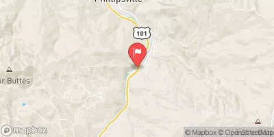 Sf Eel R Nr Miranda Ca
|
3080cfs |
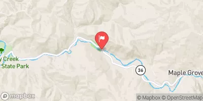 Van Duzen R Nr Bridgeville Ca
|
619cfs |
Area Campgrounds
| Location | Reservations | Toilets |
|---|---|---|
 Spanish Creek
|
||
 Spanish Flats
|
||
 Kinsey Creek
|
||
 Camp Wolfman
|
||
 Randall Creek
|
||
 Big Creek (sites with tree coverage)
|
River Runs
-
 From Its Headwaters In Sec. 18, T3S, R1W, Hm To To The Pacific Ocean
-
 From Its Headwaters In Sec. 19, T3S, R1W, Hm To To The Pacific Ocean
-
 Northeast 1/4 Sec. 19 T3S, R1W, Hm To To Its Junction With The Main Stem
-
 Northeast 1/4 Of Sec. 35 23 And 24, T3S, R2W, Hm To To Its Junction With The Main Stem
-
 From Its Headwaters In Sec. 13, T3S, R2W, Hm To To The Pacific Ocean
-
 From Its Headwaters In Sec. 20, T3S, R1W, Hm To To The Pacific Ocean

