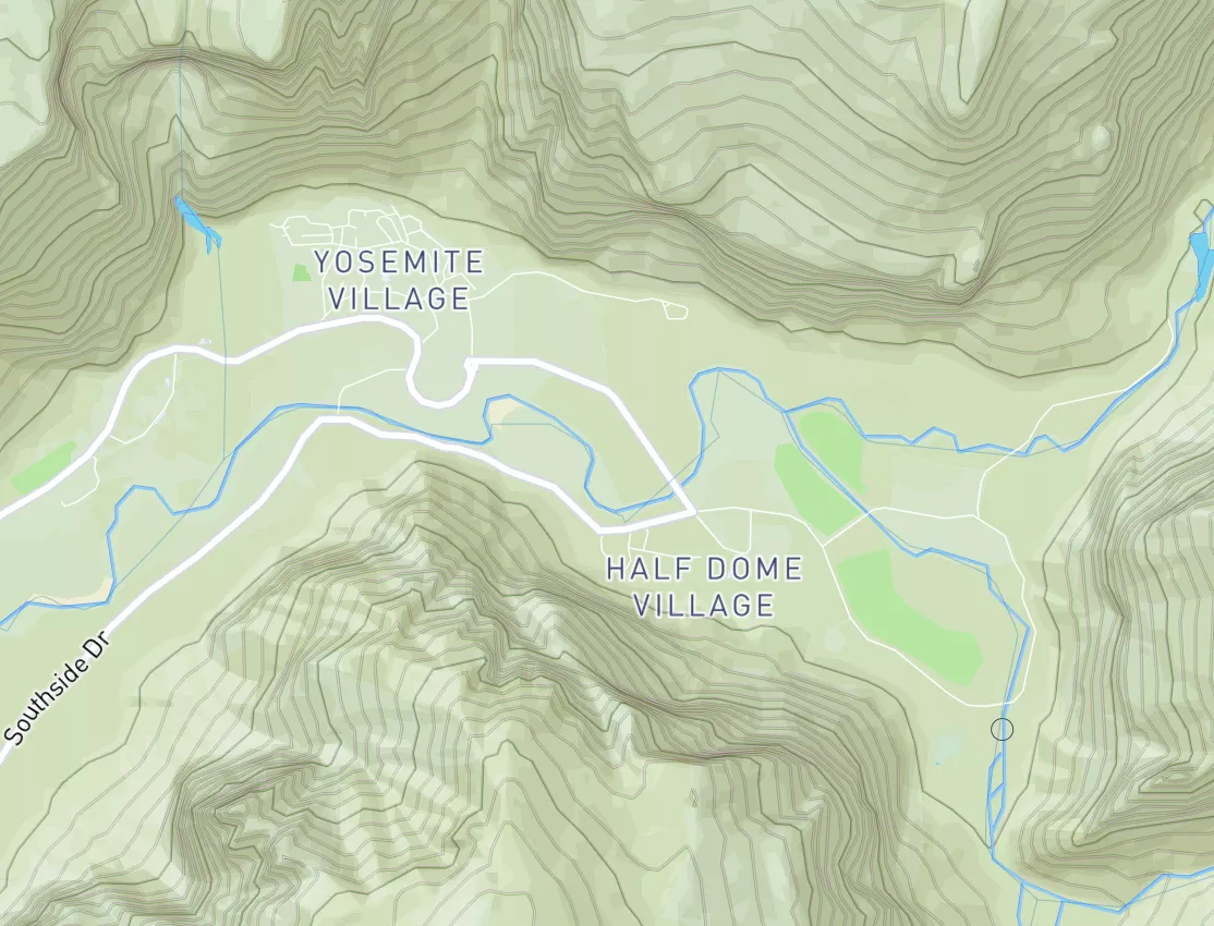
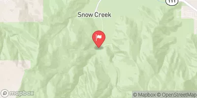
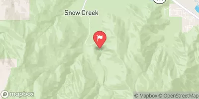
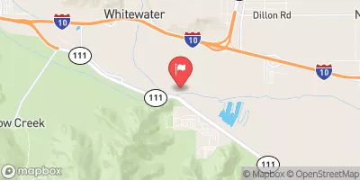
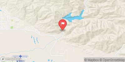
South Fork Headwaters To San Gorgonio Wilderness Boundary/Sf Diversion Dam Paddle Report
Last Updated: May 5, 2026
°F
°F
mph
Wind
%
Humidity
Get the latest Paddle Report, Streamflow Levels, and Weather Forecast for South Fork Headwaters To San Gorgonio Wilderness Boundary/Sf Diversion Dam in California. California Streamflow Levels and Weather Forecast
Summary
Regional Streamflow Levels
15-Day Long Term Forecast
River Run Details
| Last Updated | |
| River Levels | 0 cfs (0.48 ft) |
| Percent of Normal | +100% |
| Status | |
| Class Level | None |
| Elevation | ft |
| Streamflow Discharge | cfs |
| Gauge Height | ft |
| Reporting Streamgage | USGS 10255900 |
5-Day Hourly Forecast Detail
Area Campgrounds
| Location | Reservations | Toilets |
|---|---|---|
 High Creek Camp
|
||
 Big Tree
|
||
 Halfway Camp
|
||
 Mineshaft Flat
|
||
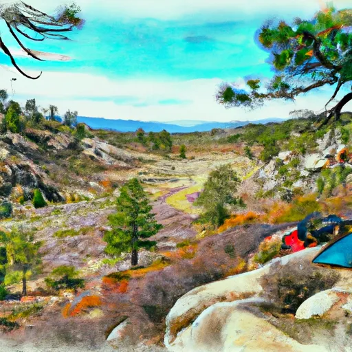 Fish Creek Saddle
|
||
 Vivian Creek Camp
|
River Runs
-
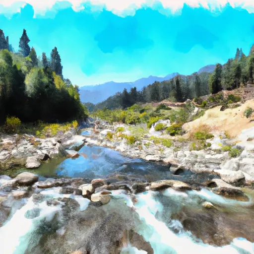 South Fork Headwaters To San Gorgonio Wilderness Boundary/Sf Diversion Dam
-
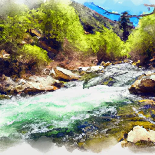 East Fork Headwaters To Confluence With South Fork
-
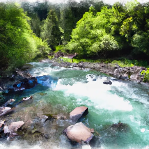 Middle Fork Headwaters At Middle Fork Jumpoff To Confluence With North Fork
-
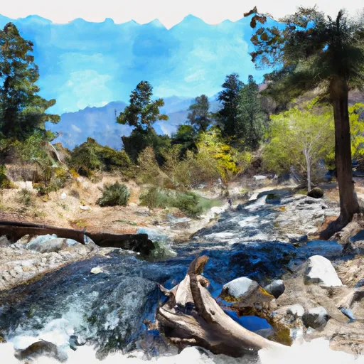 Headwaters To San Gorgonio Wilderness
-
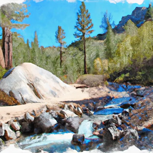 North Fork Headwaters At Mine Shaft Saddle To Nf Boundary
-
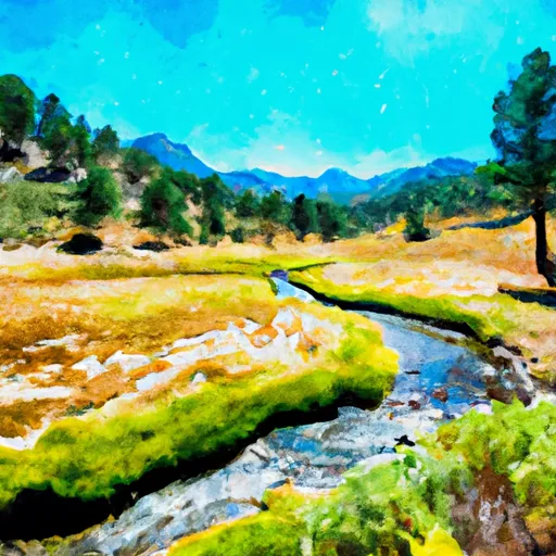 South Fork Meadows To San Gorgonia Wilderness Boundary

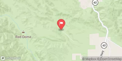


 Repplier Park
 Bogart County Park
 Wilderness San Gorgonio
 Carpenter Hamilton Park
 Gilman Ranch Historic Park
 Santa Ana River - South Fork
 Santa Ana River
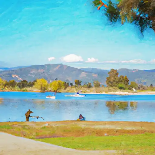 Yucaipa Park Lake
 Big Bear Lake
 Lake Fulmor Day Use Area
 Continue with Snoflo Premium