2026-02-11T16:00:00-08:00
* WHAT...Snow. Snow accumulations of 1 to 5 inches along and just west of Highway 395 with 10 to 15 inches above 7000 feet, with localized areas up to 20 inches. Winds gusting as high as 70 mph along the Sierra crest. * WHERE...Mono County. * WHEN...Until 4 PM PST Wednesday. * IMPACTS...Travel could be very difficult. The hazardous conditions could impact the Tuesday evening commute as well as the Wednesday morning commute. Gusty winds could bring down tree branches. * ADDITIONAL DETAILS...There is a 15% chance for lightning through this evening, which may bring impacts to backcountry recreation.
Summary
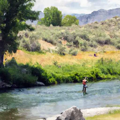
The ideal streamflow range for this run is between 400 and 700 cfs. The run is classified as Class III to IV, with some sections reaching Class V. The segment mileage is approximately 15 miles, taking paddlers from the Hoover Wilderness Boundary to Leavitt Meadows Campground.
There are several notable rapids and obstacles along this run, including the "Flume," which is a Class IV rapid with a steep drop, and the "Rock Garden," which is a technical Class IV rapid with multiple boulder obstacles. Paddlers should also be aware of the "Widowmaker" and "Deadly Eddy," which are Class V rapids and require advanced experience and skill to navigate.
It is important for paddlers to adhere to specific regulations in the area, including respecting private property and following Leave No Trace principles. Campfires are only allowed in designated areas, and all waste must be properly disposed of. Paddlers should also be aware of the seasonal closures in the area, with the run typically being open from May to September.
°F
°F
mph
Wind
%
Humidity
15-Day Weather Outlook
River Run Details
| Last Updated | 2026-02-07 |
| River Levels | 2260 cfs (5.44 ft) |
| Percent of Normal | 139% |
| Status | |
| Class Level | iii-v |
| Elevation | ft |
| Streamflow Discharge | cfs |
| Gauge Height | ft |
| Reporting Streamgage | USGS 10296000 |
5-Day Hourly Forecast Detail
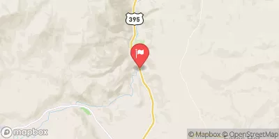
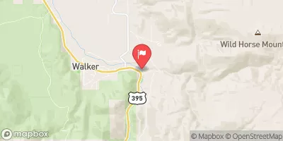
Nearby Streamflow Levels
Area Campgrounds
| Location | Reservations | Toilets |
|---|---|---|
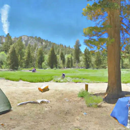 Leavitt Meadows
|
||
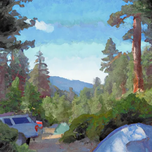 Leavitt Meadows Campground
|
||
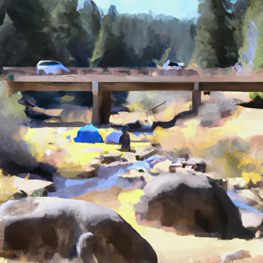 Sonora Bridge Campground
|
||
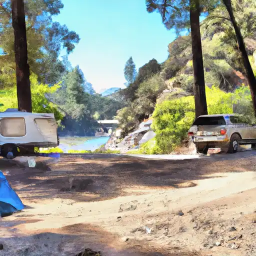 Sonora Bridge
|
||
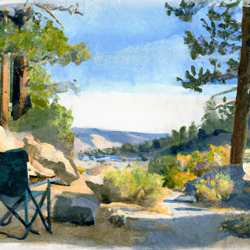 Leavitt Lake Camping
|
||
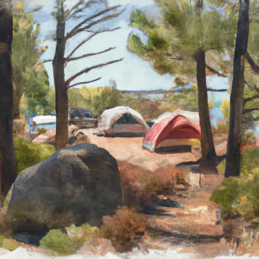 Campsite along Latopie Lake
|
River Runs
-
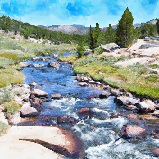 Hoover Wilderness Boundary To Leavitt Meadows Campground
-
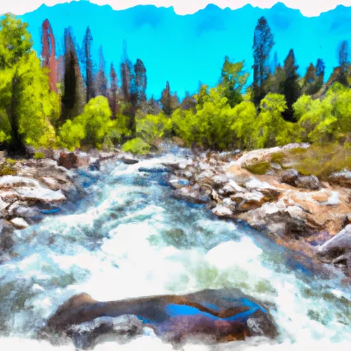 Headwater Deadman Creek To Confluence With Middle Fork Stanislaus River
-
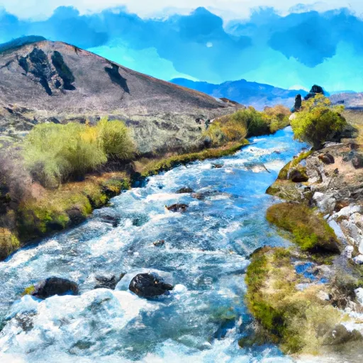 Headwaters To Confluence With East Carsonriver
-
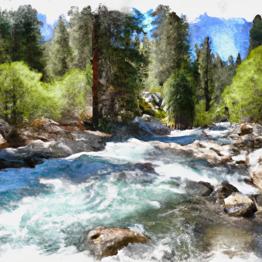 Headwaters Kennedy Creek To Confluence With Middle Fork Stanislaus
-
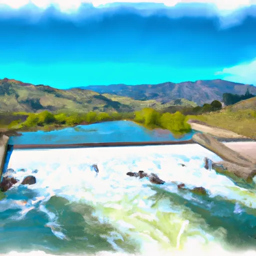 Relief Reservoir Outlet To Confluence With Clark Fork
-
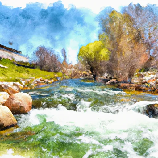 Mill Creek


 West Walker River
 Koenig Lake
 Lower Long Lake
 Anna Lake
 High Emigrant Lake