2026-02-25T00:00:00-08:00
* WHAT...Flooding caused by excessive rainfall is possible. * WHERE...A portion of northwest California, including the following areas, Coastal Del Norte, Del Norte Interior, Mendocino Coast, Northeastern Mendocino Interior, Northern Humboldt Coast, Northern Humboldt Interior, Northern Lake, Northern Trinity, Northwestern Mendocino Interior, Southeastern Mendocino Interior, Southern Humboldt Interior, Southern Lake, Southern Trinity, Southwestern Humboldt and Southwestern Mendocino Interior. * WHEN...From Monday evening through Tuesday evening. * IMPACTS...There will be an increased risk of rock and land slides along roadways. Excessive runoff may result in flooding of rivers, creeks, streams, and other low-lying and flood-prone locations. * ADDITIONAL DETAILS... - A prolonged duration of moderate to heavy rain is expected. - http://www.weather.gov/safety/flood
Two Tenth Mile West And Downstream Of Double Cabins Site To Confluence With Smoky Creek Paddle Report
Last Updated: 2025-06-28
The Whitewater River Run from Two Tenth Mile West and Downstream of Double Cabins Site to Confluence with Smoky Creek in California is approximately 4.5 miles long and has a class rating of III to IV.
Summary
The ideal streamflow range for this run is between 300-800 cfs, which typically occurs during the late spring and early summer months.
There are several notable rapids and obstacles on this stretch of the river, including Upper and Lower Pucker Up, Death by Chocolate, and S-Turn. These rapids require expert maneuvering skills and knowledge of the river's flow, as they can be dangerous if not navigated correctly.
It is important to note that this section of the Whitewater River is closed to boating during the winter season from November 1 to April 30. Additionally, all boaters must wear a personal flotation device and carry a sound signaling device.
Overall, the Whitewater River Run from Two Tenth Mile West and Downstream of Double Cabins Site to Confluence with Smoky Creek is a challenging and exciting whitewater experience for experienced paddlers. It is important to respect the regulations and guidelines in place for the safety of all who enjoy this beautiful stretch of river.
°F
°F
mph
Wind
%
Humidity
15-Day Weather Outlook
River Run Details
| Last Updated | 2025-06-28 |
| River Levels | 13 cfs (3.51 ft) |
| Percent of Normal | 43% |
| Status | |
| Class Level | None |
| Elevation | ft |
| Streamflow Discharge | cfs |
| Gauge Height | ft |
| Reporting Streamgage | USGS 11480390 |
5-Day Hourly Forecast Detail
Nearby Streamflow Levels
 Mad R Ab Ruth Res Nr Forest Glen Ca
|
216cfs |
 Eel R A Fort Seward Ca
|
6240cfs |
 Trinity R A Douglas City Ca
|
640cfs |
 Indian C Nr Douglas City Ca
|
102cfs |
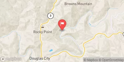 Trinity R Bl Limekiln Gulch Nr Douglas City Ca
|
403cfs |
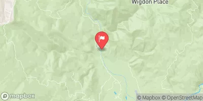 Sf Trinity R Bl Hyampom Ca
|
903cfs |
Area Campgrounds
| Location | Reservations | Toilets |
|---|---|---|
 North Fork Beegum Creek F
|
||
 Scott Flat
|
||
 Scott Flat Campground
|
||
 Forest Glen Cabin (Guard Station)
|
||
 Hell Gate
|
||
 Fern Campground
|
River Runs
-
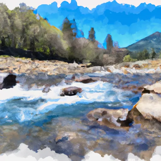 Two Tenth Mile West And Downstream Of Double Cabins Site To Confluence With Smoky Creek
-
 West Section Line Of Sec 28, T28N, R11W To Two Tenths Of A Mile West And Downstream Of Double Cabins Site
-
 Confluence With Smoky Creek To Four Tenths Of A Mile West And Downstream Of Double Cabins Site
-
 Four Tenths Mile Upstream With The Confluence Of Foley Creek
Four Tenths Mile Upstream With Confluence With Foley Creek To Trinity Wsr
-
 Headwaters (At Wilderness Boundary) To West Section Line Of Sec 28, T28S,R11W

