2026-02-22T10:00:00-08:00
* WHAT...Southeast winds 30 to 40 mph with gusts up to 70 mph expected. Higher gusts over high, exposed terrain. * WHERE...Humboldt Interior, Del Norte Interior, and Southwestern Humboldt. * WHEN...Until 10 AM PST Sunday. * IMPACTS...Wind gusts will be particularly strong along windward ridges and exposed coastal headlands. Damaging winds will blow down trees and power lines. Widespread power outages are expected. Travel will be difficult. * ADDITIONAL DETAILS...A prolonged period of strong winds is expected to continue through Sunday morning. Winds are expected to increase to up to 60 mph today, peaking up to 70 mph tonight into Sunday. Locally up to 80 mph possible.
From Its Headwaters In Sec. 6, T4s, R1e, Hm To To Junction With Main Stem In Sec. 9 T4s, R1e, Hm Paddle Report
Last Updated: 2026-02-07
The Whitewater River run in California begins at its headwaters in Section 6, T4S, R1E, Hm and flows until it reaches the junction with the main stem in Section 9 T4S, R1E, Hm.
Summary
The ideal streamflow range for this river is between 500 and 1,000 cubic feet per second (cfs). The class rating for this river run ranges from III-IV, making it a moderately challenging run. The segment mileage for the Whitewater River run is approximately 16 miles.
While traveling down this river, rafters can expect to encounter several rapids and obstacles. Some of the specific rapids and obstacles include the Fisherman's Drop, where the river drops sharply over a small waterfall, and the Devil's Toilet Bowl, which is a large hydraulics feature that requires careful navigation. The river also features several narrow chutes and boulder gardens that require precise maneuvering skills.
There are specific regulations that rafters should be aware of when traveling down the Whitewater River. For instance, the use of personal flotation devices (PFDs) is mandatory for all rafters. Additionally, motorized vessels are not allowed on this river, and all boats must be inspected for invasive species before entering the water.
In conclusion, the Whitewater River run in California is a challenging but rewarding river run that offers a variety of rapids and obstacles for experienced rafters. With an ideal streamflow range of 500-1,000 cfs, a class rating of III-IV, and a segment mileage of 16 miles, this river run is sure to provide an exciting and memorable adventure.
°F
°F
mph
Wind
%
Humidity
15-Day Weather Outlook
River Run Details
| Last Updated | 2026-02-07 |
| River Levels | 47 cfs (8.9 ft) |
| Percent of Normal | 8% |
| Status | |
| Class Level | None |
| Elevation | ft |
| Run Length | 5.0 Mi |
| Streamflow Discharge | cfs |
| Gauge Height | ft |
| Reporting Streamgage | USGS 11468900 |
5-Day Hourly Forecast Detail
Nearby Streamflow Levels
 Mattole R Nr Ettersburg Ca
|
572cfs |
 Bull C Nr Weott Ca
|
266cfs |
 Mattole R Nr Petrolia Ca
|
1390cfs |
 Sf Eel R Nr Miranda Ca
|
2830cfs |
 Eel R A Scotia Ca
|
13300cfs |
 Eel R A Fort Seward Ca
|
6240cfs |
Area Campgrounds
| Location | Reservations | Toilets |
|---|---|---|
 Maple Camp
|
||
 Shipman Creek
|
||
 Miller Loop Camp
|
||
 Gitchell Creek
|
||
 Tolkan
|
||
 Place for a tent
|
River Runs
-
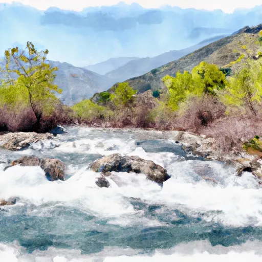 From Its Headwaters In Sec. 6, T4S, R1E, Hm To To Junction With Main Stem In Sec. 9 T4S, R1E, Hm
-
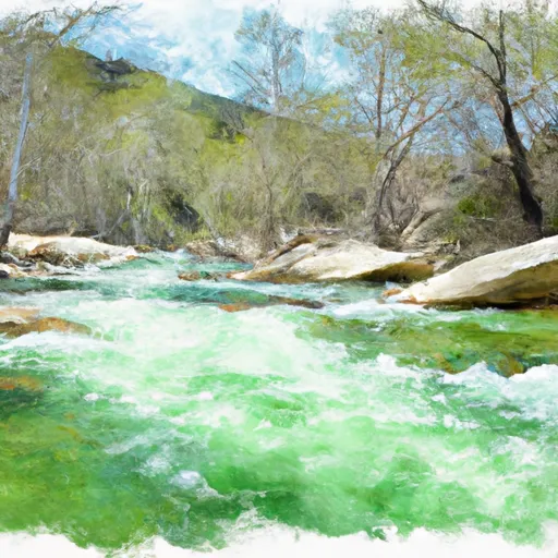 Southeast 1/4 Sec.32 T3S, R1E, Hm To To Its Junction With The East Fork Honeydew Creek
-
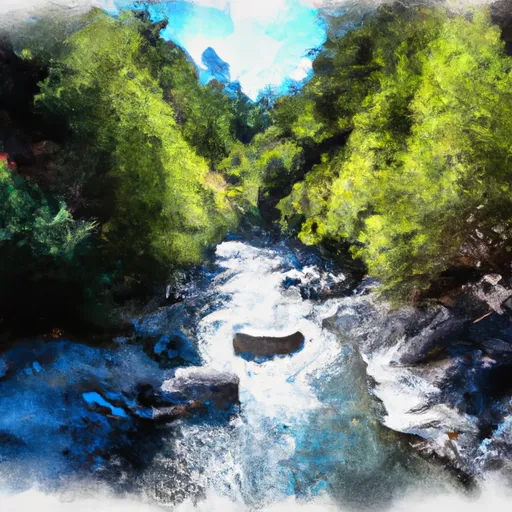 Bear Creek, North Fork, Trib
-
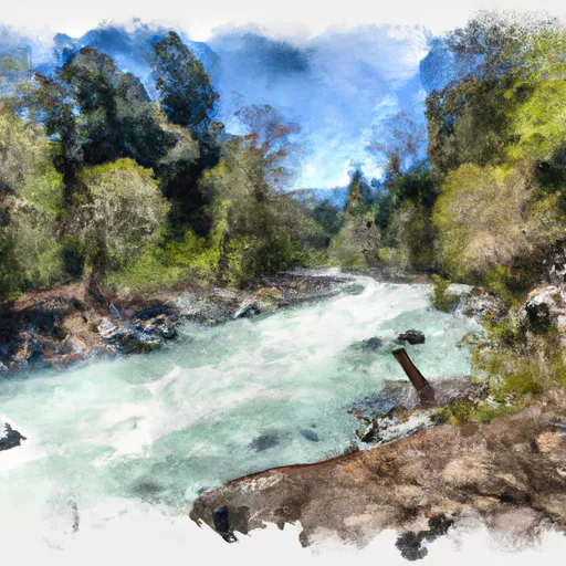 Bear Creek, North Fork
-
 From Its Headwaters In Sec. 7, T4S, R1E, Hm To To Junction With N. Fork In Sec. 32, T3S, R1E, Hm

