2026-02-18T16:00:00-08:00
* WHAT...Heavy snow expected. Total snow accumulations up to 14 inches. Winds gusting as high as 45 mph. * WHERE...Southwestern Humboldt. * WHEN...From 10 PM this evening to 4 PM PST Wednesday. * IMPACTS...Roads, and especially bridges and overpasses, will likely become slick and hazardous. Travel could be very difficult. Gusty winds could bring down tree branches. * ADDITIONAL DETAILS...This may impact Mattole Road and Shelter Cove road among other roads above 2,000 feet.
Summary
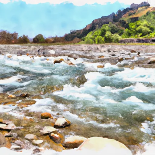
The ideal streamflow range for the Whitewater River is between 200-500 cfs. The river is rated as Class V, with several Class IV rapids along its length, making it a challenging and thrilling river run.
The Upper Whitewater River, the section above the Whitewater Preserve, is a popular destination for kayakers and rafters. The segment is approximately 7 miles long and includes several technical rapids, including "Butterfly Falls," "The Chutes," and "S-Curve." The Middle Whitewater River, from the Whitewater Preserve to Mission Creek, is approximately 15 miles long and includes several Class IV rapids, including "The Toilet Bowl," "The Sluice Box," and "The Guillotine." The Lower Whitewater River, from Mission Creek to the Coachella Canal, is approximately 8 miles long and includes several Class III rapids, including "The Maze," "The Rollercoaster," and "The Jaws."
It is important to note that the Whitewater River is a designated Wild and Scenic River, and the use of motorized boats is prohibited. Additionally, boaters must obtain a permit from the Bureau of Land Management before launching on the river. There are also regulations in place to protect the native fish species, including the Santa Ana Sucker, and visitors are encouraged to adhere to Leave No Trace principles.
Overall, the Whitewater River offers a challenging and scenic river run for experienced kayakers and rafters, with specific regulations in place to protect the environment and wildlife.
°F
°F
mph
Wind
%
Humidity
15-Day Weather Outlook
River Run Details
| Last Updated | 2025-06-28 |
| River Levels | 47 cfs (8.9 ft) |
| Percent of Normal | 42% |
| Status | |
| Class Level | v-iv |
| Elevation | ft |
| Run Length | 3.0 Mi |
| Streamflow Discharge | cfs |
| Gauge Height | ft |
| Reporting Streamgage | USGS 11468900 |
5-Day Hourly Forecast Detail
Nearby Streamflow Levels
 Mattole R Nr Ettersburg Ca
|
1060cfs |
 Mattole R Nr Petrolia Ca
|
1950cfs |
 Bull C Nr Weott Ca
|
240cfs |
 Sf Eel R Nr Miranda Ca
|
3950cfs |
 Eel R A Scotia Ca
|
9920cfs |
 Van Duzen R Nr Bridgeville Ca
|
1400cfs |
Area Campgrounds
| Location | Reservations | Toilets |
|---|---|---|
 Maple Camp
|
||
 Miller Loop Camp
|
||
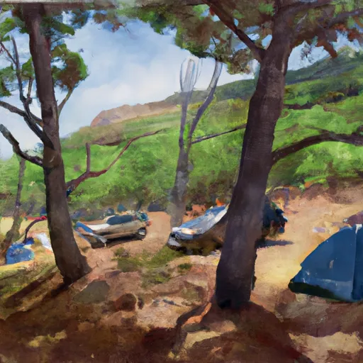 Shipman Creek
|
||
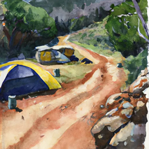 Gitchell Creek
|
||
 Big Creek (sites with tree coverage)
|
||
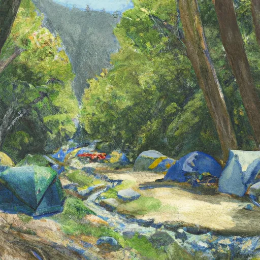 Big Creek Camp
|
River Runs
-
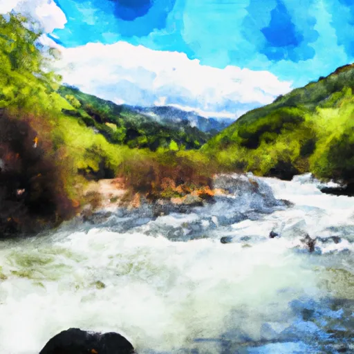 From Its Headwaters In Sec 1, T4S, R1W, Hm To To The Pacific Ocean
-
 Honeydew Creek
-
 Southwest 1/4 Of Sec. 36 T3S, R1W, Hm To To Its Junction Woth Main Stem
-
 Bear Creek, North Fork
-
 Northwest 1/4 In Sec. 7, T4S, R1E, Hm To To Its Junction With The Main Stem
-
 Southeast 1/4 Of Sec 25 T3S, R1W, Hm To To Its Junction With The Main Stem

