Summary
The ideal streamflow range for this river is between 200-500 cfs, with higher flows occurring during the winter months. The river is rated as a class II-III, with some sections reaching class IV during high water levels. The river spans over 30 miles, with the most popular segment being the Whitewater River Run, which covers approximately 6.5 miles.
The Whitewater River Run features several exciting rapids and obstacles, including Devil's Hole, a class III rapid with a large boulder in the center, and the Narrows, a narrow section of the river with fast-moving water and large boulders. Other notable rapids include Pinball, S-Turn, and the Elevator.
There are specific regulations in place for the Santa Margarita River, including a permit system operated by the San Diego County Parks and Recreation Department. All boaters must obtain a permit before accessing the river, and there are restrictions on the number of daily permits issued. Additionally, boaters are required to wear personal flotation devices and adhere to Leave No Trace principles.
Overall, the Santa Margarita River offers a thrilling whitewater experience for both novice and experienced boaters. However, it is important to check current streamflow levels and adhere to all regulations to ensure a safe and enjoyable trip.
°F
°F
mph
Wind
%
Humidity
15-Day Weather Outlook
River Run Details
| Last Updated | 2025-06-28 |
| River Levels | 10 cfs (2.12 ft) |
| Percent of Normal | 57% |
| Status | |
| Class Level | ii-iii |
| Elevation | ft |
| Streamflow Discharge | cfs |
| Gauge Height | ft |
| Reporting Streamgage | USGS 11044350 |


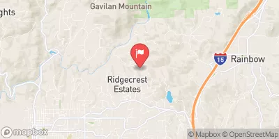
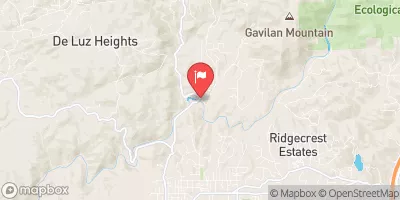
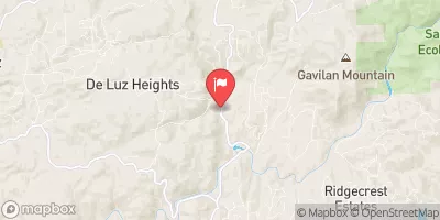
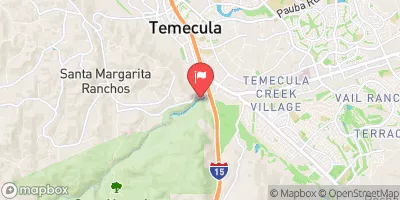


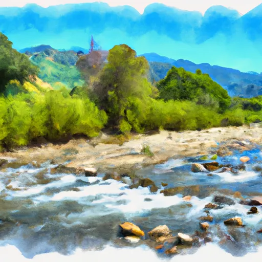 Santa Margarita River
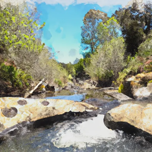 Devil Canyon Tributary To San Mateo Creek
 Loma Linda Park
 Pala Community Park
 Temecula Duck Pond
 Village Square Park
 John Magee Park