2026-02-22T10:00:00-08:00
* WHAT...Southeast winds 30 to 40 mph with gusts up to 70 mph expected. Higher gusts over high, exposed terrain. * WHERE...Humboldt Interior, Del Norte Interior, and Southwestern Humboldt. * WHEN...Until 10 AM PST Sunday. * IMPACTS...Wind gusts will be particularly strong along windward ridges and exposed coastal headlands. Damaging winds will blow down trees and power lines. Widespread power outages are expected. Travel will be difficult. * ADDITIONAL DETAILS...A prolonged period of strong winds is expected to continue through Sunday morning. Winds are expected to increase to up to 60 mph today, peaking up to 70 mph tonight into Sunday. Locally up to 80 mph possible.
Summary
The ideal streamflow range for Gitchell Creek is between 150 and 500 cfs. This flow level allows for a good mix of rapids and obstacles, while still being manageable for intermediate kayakers.
The class rating for Gitchell Creek is class III, which means that there are moderate rapids and obstacles that require some technical ability and experience to navigate safely. The segment mileage for this river run is approximately 4 miles long, starting from the put-in at the Gitchell Creek Bridge and ending at the take-out at the Middle Fork American River.
Some of the specific river rapids and obstacles that kayakers can expect to encounter along the way include "The Slot," "S-Turn," "The Hole," and "Pinball." These rapids range in difficulty from class II to class III and require careful maneuvering and technical skill to navigate safely.
In terms of regulations, kayakers must obtain a permit from the American River Conservancy to access the Gitchell Creek run. Additionally, kayakers are required to wear a personal flotation device at all times while on the river and must adhere to Leave No Trace principles to minimize impact on the environment.
°F
°F
mph
Wind
%
Humidity
15-Day Weather Outlook
River Run Details
| Last Updated | 2025-06-28 |
| River Levels | 47 cfs (8.9 ft) |
| Percent of Normal | 42% |
| Status | |
| Class Level | iii-ii |
| Elevation | ft |
| Streamflow Discharge | cfs |
| Gauge Height | ft |
| Reporting Streamgage | USGS 11468900 |
5-Day Hourly Forecast Detail
Nearby Streamflow Levels
 Mattole R Nr Ettersburg Ca
|
572cfs |
 Sf Eel R Nr Miranda Ca
|
2830cfs |
 Bull C Nr Weott Ca
|
266cfs |
 Mattole R Nr Petrolia Ca
|
1390cfs |
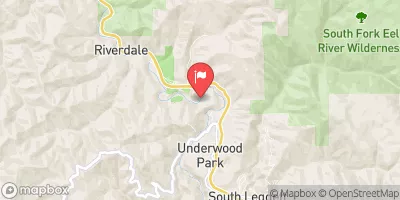 Sf Eel R A Leggett Ca
|
1480cfs |
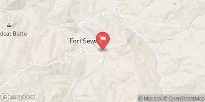 Eel R A Fort Seward Ca
|
6240cfs |
Area Campgrounds
| Location | Reservations | Toilets |
|---|---|---|
 Gitchell Creek
|
||
 Place for a tent
|
||
 Horse Mountain Creek
|
||
 Tolkan
|
||
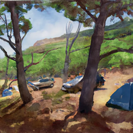 Shipman Creek
|
||
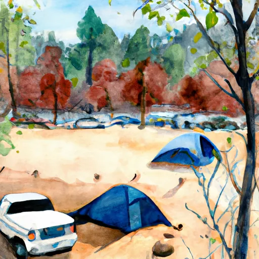 Maple Camp
|
River Runs
-
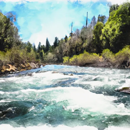 Gitchell Creek
-
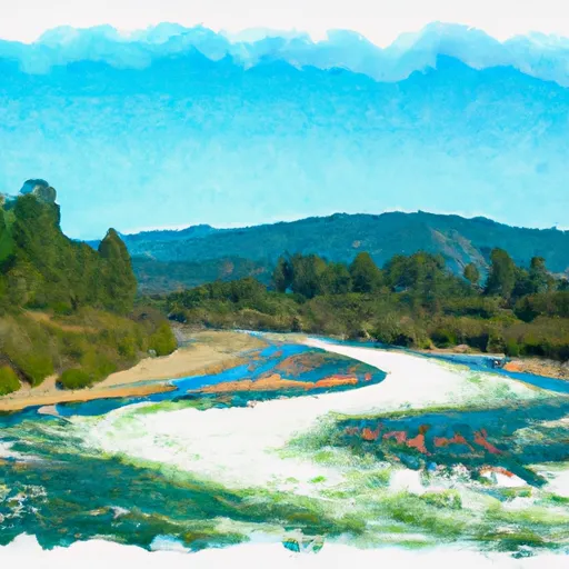 Northwest 1/4 Of Aec. 28 And Southwest 1/4 Of Sec. 34, T4S, R1E, Hm To To Its Junction With The Main Stem
-
 Headwaters In Sec. 28, T4S, R1W, Hm To To Its Junction With The Pcific Ocean
-
 Northeast 1/4 Of Sec. 29 And Northwest 1/4 Of Sec. 21, T4S, R1E, Hm To To Its Junction With The Main Stem
-
 From Shelter Cove Road To To Junction With Main Stem In Sec. 9, T4S, R1E, Hm
-
 From Its Headwaters In Sec. 17, T4S, R1E To To The Pacific Ocean

