Summary
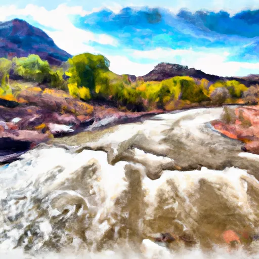
The ideal streamflow range for this river is 800-1200 cfs, which typically occurs during the months of May and early June. The river is rated as a Class II-III, with a few Class IV rapids. The segment mileage for the Lower Dolores River run is 47 miles, starting from Bradfield Bridge and ending at the confluence with the Colorado River. Specific river rapids and obstacles include the Snaggletooth Rapid, the Slick Rock Rapid, and the Dolores Gorge. The Snaggletooth Rapid is a Class III rapid with a large boulder in the middle of the river that creates a challenging obstacle for rafters. The Slick Rock Rapid is a Class IV rapid that requires precise maneuvering through a narrow channel. The Dolores Gorge is a scenic section of the river with towering sandstone walls and numerous Class II rapids.
There are specific regulations to the area that rafters should be aware of. Permits are required for all overnight trips on the Lower Dolores River and are limited to a certain number of groups per day. Additionally, all boaters must have a personal flotation device (PFD) and helmets are recommended. The use of motorized boats is prohibited in certain sections of the river. It is important to check with the Bureau of Land Management for up-to-date information on regulations and permit availability.
°F
°F
mph
Wind
%
Humidity
15-Day Weather Outlook
River Run Details
| Last Updated | 2025-06-28 |
| River Levels | 1360 cfs (6.15 ft) |
| Percent of Normal | 5% |
| Status | |
| Class Level | ii-iii |
| Elevation | ft |
| Streamflow Discharge | cfs |
| Gauge Height | ft |
| Reporting Streamgage | USGS 09171100 |
5-Day Hourly Forecast Detail
Nearby Streamflow Levels
Area Campgrounds
| Location | Reservations | Toilets |
|---|---|---|
 Dolores River Camp 5
|
||
 Dolores River Camp 4
|
||
 Dolores River Camp 6
|
||
 Dolores River Camp 7
|
||
 Dolores River Camp 8
|
||
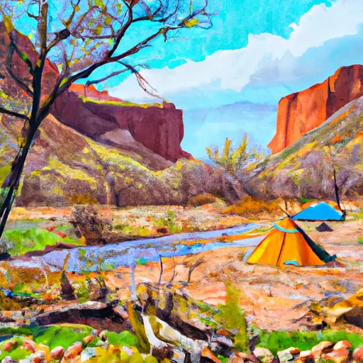 Dolores River Camp 3
|


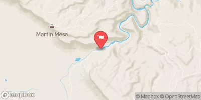
 Lower Dolores River
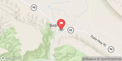
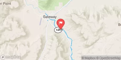
 San Miguel River Segment 6
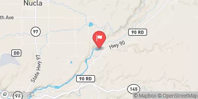
 North Fork Mesa Creek
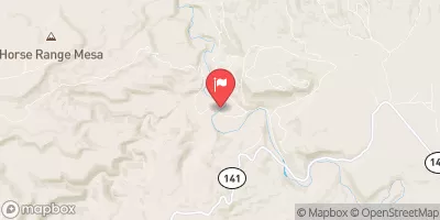
 Dolores River Segment 2
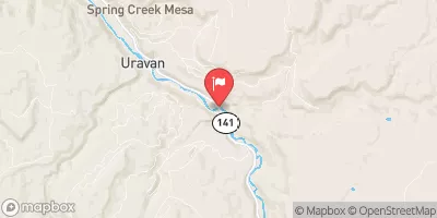
 Spring Creek