Summary
The ideal streamflow range for this section is between 800-3000 cfs, with peak flows in May and June. The section is rated as Class II-IV and features several challenging rapids, including Snaggletooth, Stateline, and Pinball. The river also includes several narrow canyons that provide stunning scenery for rafters.
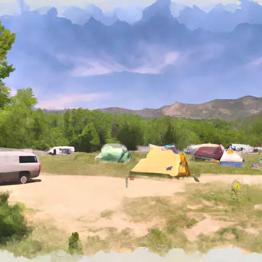
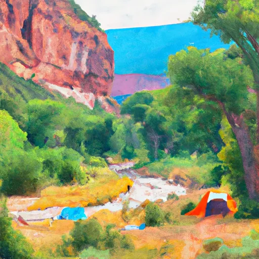
In terms of regulations, all boaters must obtain a permit to float the Dolores River, and commercial outfitters are required to have a permit from the Bureau of Land Management. Additionally, camping is only allowed in designated areas along the river, and all waste must be packed out.
Overall, the Dolores River - McPhee to Bedrock segment is a popular destination for whitewater enthusiasts seeking a challenging and scenic river run. With its unique rapids and stunning natural beauty, it is a must-visit for anyone looking to experience the best of Colorado's whitewater rafting.
°F
°F
mph
Wind
%
Humidity
15-Day Weather Outlook
River Run Details
| Last Updated | 2025-06-28 |
| River Levels | 1300 cfs (7.07 ft) |
| Percent of Normal | 14% |
| Status | |
| Class Level | ii-iv |
| Elevation | ft |
| Streamflow Discharge | cfs |
| Gauge Height | ft |
| Reporting Streamgage | USGS 09169500 |
5-Day Hourly Forecast Detail
Nearby Streamflow Levels
Area Campgrounds
| Location | Reservations | Toilets |
|---|---|---|
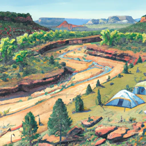 Dolores River Camp 2
|
||
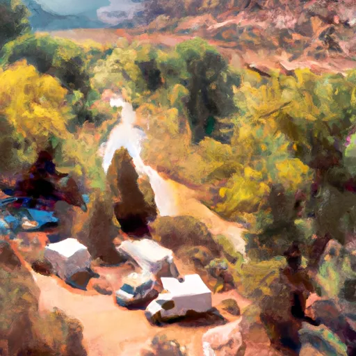 Dolores River Camp 1
|
||
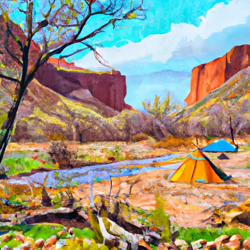 Dolores River Camp 3
|
||
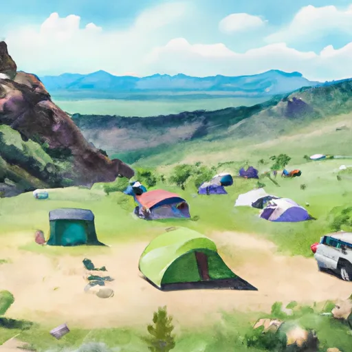 Camping - Single
|
||
 Free Campground (The Ball Park)
|
||
 Dolores River Camp 4
|


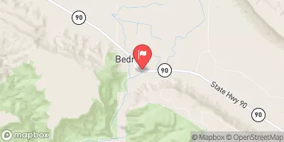
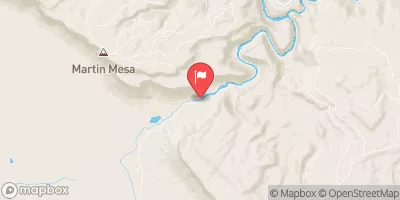
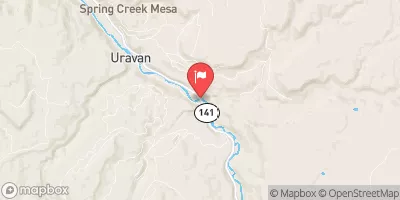
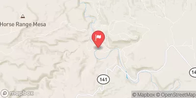
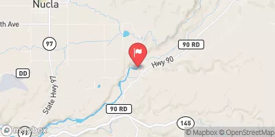
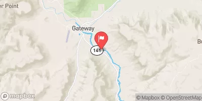
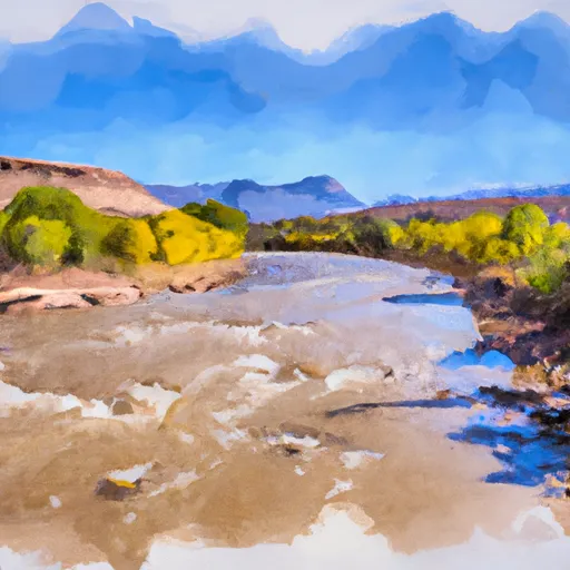 Dolores River - Mcphee To Bedrock Segment In Uncompahgre Field Office
 Paradox and Mesa Canyon (Bedrock to Gateway)
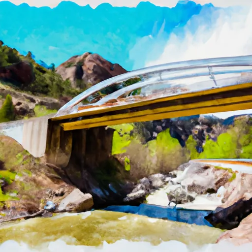 Little Gypsum Valley Bridge To One Mile Above Hwy 90 Bridge
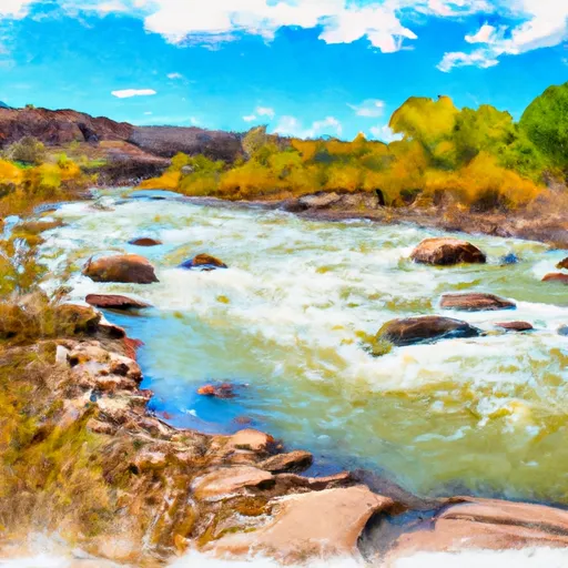 Dolores River Segment 2
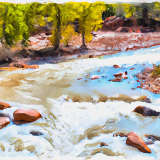 La Sal Creek Segment 3