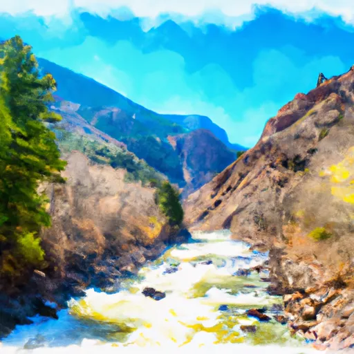
Barrel Springs
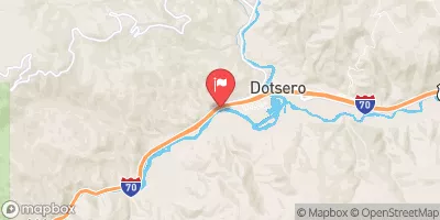
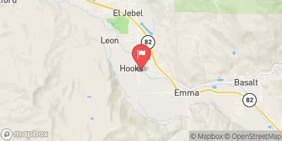
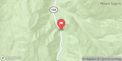
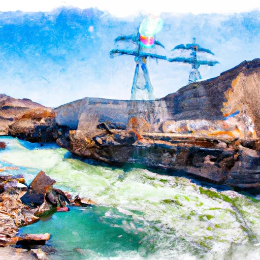
Barrel Springs is the run from the Hanging Lake exit to Shoshone.
Suggested river levels for paddling this section of the Colorado River are between a bare minimum of 500cfs and a high of 8,000cfs.
River conditions sourced from USGS 09070500, the Colorado River Near Dotsero
Remember only watercraft are permitted
at Barrel Springs.
Run Stats
Status | Runnable |
Class Level | IV+ to V+ |
Elevation | 6,113 ft |
Run Length | 4.0 Mi |
Gradient | 85 FPM |
Streamflow Discharge | 1290 cfs |
Gage Height | 2.7 ft |
Air Temperature | 59° |
River | Colorado River |
Reporting Streamgage |
Colorado River Near Dotsero
USGS 09070500 |
Upper Death
Class V to VI |
Life after Death
Class IV+ to V |
Barrel Springs Rapid
Class IV+ to V |
Last Rapid
Class IV to V |
Gauge | Streamflow | Stage |
---|---|---|
Minnesota Creek Near Paonia
USGS 09134000 |
4 cfs | ft |
Smith Fork Near Lazear
USGS 09129600 |
1 cfs | 4.5 ft |
North Fk Gunnison River Above Mouth Nr Lazear
USGS 09136100 |
165 cfs | 3.1 ft |
Roaring Fork River Near Aspen
USGS 09073400 |
40 cfs | 0.9 ft |
White River Below North Elk Creek Near Buford
USGS 09304115 |
340 cfs | 2.3 ft |
North Fork Fryingpan River Near Norrie
USGS 09078500 |
6 cfs | 2.3 ft |
Elk River Near Milner
USGS 09242500 |
323 cfs | 2.5 ft |
Taylor River At Almont
USGS 09110000 |
140 cfs | 1.6 ft |
Colorado River Below Glenwood Springs
USGS 09085100 |
1,770 cfs | 4.1 ft |
Yampa River Above Stagecoach Reservoir
USGS 09237450 |
60 cfs | 2.4 ft |
Snotel Site | Snowpack | 24hr Change |
---|---|---|
Whiskey Park
SNOTEL 859 |
56" | -3" |
Idarado
SNOTEL 538 |
27" | -2" |
Blackhall Mtn
SNOTEL 1119 |
69" | -4" |
Trapper Lake
SNOTEL 827 |
12" | -1" |
Park Cone
SNOTEL 680 |
27" | -1" |
Cochetopa Pass
SNOTEL 1059 |
9" | -2" |
Kiln
SNOTEL 556 |
25" | -2" |
yampa 5.1 s, co
SNOTEL CO-RT-26 |
5.28" | -1.24" |
Tower
SNOTEL 825 |
82" | -1" |
Red Mountain Pass
SNOTEL 713 |
54" | -1" |
Lynx Pass
SNOTEL 607 |
18" | -2" |
Divide Peak
SNOTEL 449 |
38" | -2" |
Elk River
SNOTEL 467 |
31" | -2" |
Crosho
SNOTEL 426 |
18" | -50" |
Columbine
SNOTEL 408 |
39" | -2" |
Mineral Creek
SNOTEL 629 |
34" | -1" |
Butte
SNOTEL 380 |
26" | 0" |
Lost Dog
SNOTEL 940 |
44" | -1" |
Independence Pass
SNOTEL 542 |
39" | -1" |
Schofield Pass
SNOTEL 737 |
57" | -1" |
Ripple Creek
SNOTEL 717 |
54" | -2" |
gothic
SNOTEL GTHC2 |
38.7" | -0.41" |
Buffalo Park
SNOTEL 913 |
34" | -1" |
Rabbit Ears
SNOTEL 709 |
36" | -2" |
Wager Gulch
SNOTEL 1188 |
22" | 0" |
Upper Taylor
SNOTEL 1141 |
30" | -1" |
Chapman Tunnel
SNOTEL 1101 |
32" | -1" |
crested butte 6.2 n, co
SNOTEL CO-GN-18 |
33.42" | -1.14" |
Battle Mountain
SNOTEL 317 |
6" | -7" |
Bison Lake
SNOTEL 345 |
53" | 0" |
Old Battle
SNOTEL 673 |
78" | -1" |
North Lost Trail
SNOTEL 669 |
29" | -2" |
Overland Res.
SNOTEL 675 |
18" | -2" |
Nast Lake
SNOTEL 658 |
11" | -2" |
Sandstone Rs
SNOTEL 732 |
25" | -3" |
Dry Lake
SNOTEL 457 |
26" | -3" |
Zirkel
SNOTEL 1033 |
38" | -3" |
Webber Springs
SNOTEL 852 |
46" | -2" |
Slumgullion
SNOTEL 762 |
37" | -1" |
Burro Mountain
SNOTEL 378 |
26" | -2" |
Mc Clure Pass
SNOTEL 618 |
20" | -1" |
Little Snake River
SNOTEL 1047 |
50" | -2" |
Bear River
SNOTEL 1061 |
27" | 0" |
Campground | Campsites | Reservations | Toilets | Showers | Elevation |
---|---|---|---|---|---|
Avalanche | 13 | 7,320 ft | |||
Redstone | 17 | 7,299 ft | |||
Sweetwater Lake | 9 | 7,739 ft | |||
Bogan Flats | 36 | 7,609 ft | |||
McClure | 8 | 8,187 ft | |||
Upper Colorado Rec Area | None | 6,158 ft | |||
White Owl | 6 | 10,705 ft | |||
Coffee Pot Spring | 10 | 10,084 ft | |||
Deep Lake | 35 | 10,475 ft | |||
Lyons Gulch Dispersed | 4 | 6,209 ft | |||
Supply Basin | 7 | 10,767 ft | |||
Himes Peak | 11 | 8,794 ft | |||
Trappers Lake | 35 | 9,747 ft |
Ski Area | Snowpack | Air Temperature | 5 Day Forecast |
---|---|---|---|
Crested Butte Mountain Resort | 26" | 42° | 10.75" |
Aspen Highlands | 30" | 45° | 11.69" |
Sunlight Mountain Resort | 20" | 49° | 5.77" |
Snowmass | 30" | 45° | 11.69" |
Buttermilk Mountain | 30" | 45° | 11.69" |
River Run | Streamflow | Length | Class |
---|---|---|---|
South Canyon to Riverbend (Tibbet's) | 1770.0cfs | 3.5 Mi | II to III |
Waterfall to Confluence | 213.0cfs | 1.0 Mi | V- |
Barrel Springs | 1290.0cfs | 4.0 Mi | IV+ to V+ |
South Canyon to Riverbend (Tibbet's) | 1770.0cfs | 3.5 Mi | II to III |
Grizzly Creek to Two Rivers Park | 1290.0cfs | 6.0 Mi | II to III |
Bogan Canyon | 142.0cfs | 6.85 Mi | III to III+ |
South Canyon to Riverbend (Tibbet's) | 1770.0cfs | 3.5 Mi | II to III |
Shoshone (Power Plant to Grizzly Creek) | 1290.0cfs | 1.7 Mi | III- to IV |
Barrel Springs | 1290.0cfs | 4.0 Mi | IV+ to V+ |
New Castle to Silt | 1770.0cfs | 7.6 Mi | II |
Shoshone (Power Plant to Grizzly Creek) | 1290.0cfs | 1.7 Mi | III- to IV |
Carbondale to Westbank (Pink to Black) | 460.0cfs | 7.0 Mi | II |
Riverbend (Tibbet's) to New Castle | 1770.0cfs | 3.25 Mi | II |
Crystal Mill Falls | 142.0cfs | None Mi | V- to V |
Two Rivers to South Canyon | 1770.0cfs | 5.0 Mi | II+ to III |
Catherine Store Section | 213.0cfs | 4.0 Mi | II to II+ |
Riverbend (Tibbet's) to New Castle | 1770.0cfs | 3.25 Mi | II |
South Canyon to Riverbend (Tibbet's) | 1770.0cfs | 3.5 Mi | II to III |
Avalanche Down | 142.0cfs | 12.0 Mi | III |
South Canyon to Riverbend (Tibbet's) | 1770.0cfs | 3.5 Mi | II to III |
Burns to Dotsero | 1290.0cfs | 29.0 Mi | I to IV |
Cemetery | 460.0cfs | 12.0 Mi | II+ to III+ |
Oh Be Joyful | 435.0cfs | 1.0 Mi | V |
Glenwood Springs Whitewater Park | 1770.0cfs | 0.25 Mi | II to IV- |