2026-02-14T05:00:00-07:00
* WHAT...Snow. Total snow accumulations between 3 and 8 inches. * WHERE...The Mountains of Summit County, the Mosquito Range, and the Indian Peaks. * WHEN...Until 5 AM MST Saturday. * IMPACTS...Plan on slippery road conditions. The hazardous conditions will impact the ski travel between Denver and Summit County through early Saturday morning.
Summary
The river difficulty ranges from class II to class IV rapids, making it suitable for intermediate to advanced kayakers and rafters. The river obstacles include a series of drops, waves, and eddies, providing a thrilling ride for whitewater enthusiasts. The best time to float this section of water is during the spring and early summer months when the water levels are high, with recommended flows between 750-1,500 CFS. Overall, the Breckenridge Whitewater Park Town Run is a must-visit for anyone looking for an exhilarating whitewater experience.
°F
°F
mph
Wind
%
Humidity
15-Day Weather Outlook
Peak 9 - Beaver Run Webcam
River Run Details
| Last Updated | 2023-06-13 |
| River Levels | 100 cfs (1.06 ft) |
| Percent of Normal | 67% |
| Optimal Range | 150-400 cfs |
| Status | Too Low |
| Class Level | II+ to III |
| Elevation | 8,780 ft |
| Run Length | 0.3 Mi |
| Streamflow Discharge | 53.9 cfs |
| Gauge Height | 0.8 ft |
| Reporting Streamgage | USGS 09050700 |
5-Day Hourly Forecast Detail
Nearby Streamflow Levels
Area Campgrounds
| Location | Reservations | Toilets |
|---|---|---|
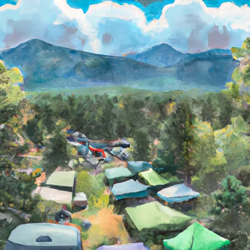 Peak One Campground
|
||
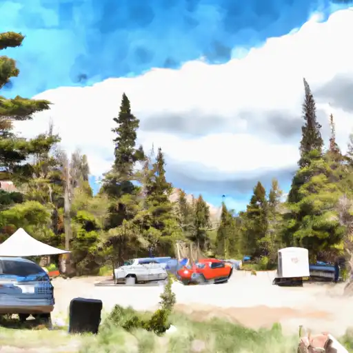 Peak One
|
||
 Pine Cove Campground
|
||
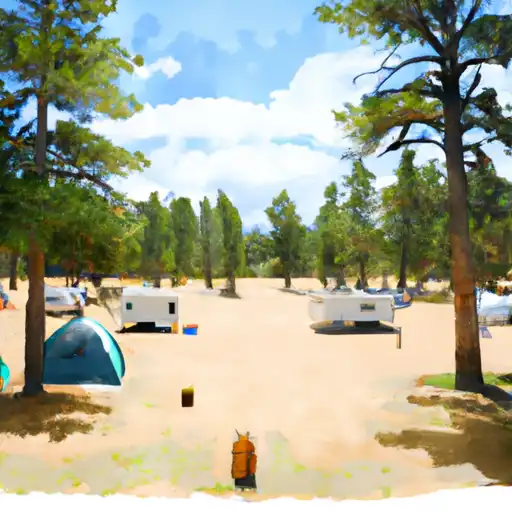 Pine Cove
|
||
 Prospector Campground
|
||
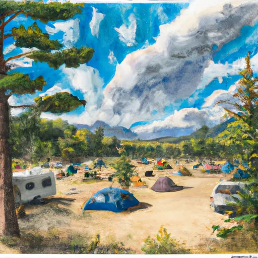 Lowry Campground
|


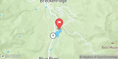
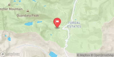
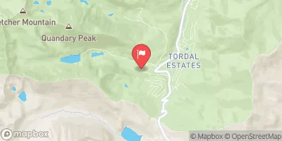
 Breckenridge Whitewater Park (Town Run)
 Upper Ten Mile
 Upper-Upper Ten Mile
 Middle Ten Mile
 Lower Ten Mile
 Lower Snake
 Windy Point Fisherman Park
 Arapaho National Forest
 Wilderness Ptarmigan Peak
 Officers Gulch Pond
 Giberson Bay Day Use Fishing Site
 Dillon Reservoir
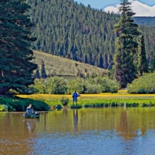 Black Lakes (Vail)
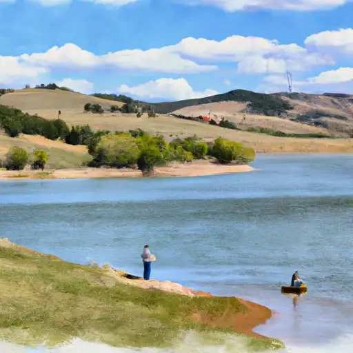 Montgomery Reservoir