2026-02-12T11:00:00-07:00
* WHAT...Snow expected. Total snow accumulations 4 to 10 inches. Winds gusting as high as 40 mph. * WHERE...The Mountains of Summit County, the Mosquito Range, and the Indian Peaks. * WHEN...Until 11 AM MST Thursday. * IMPACTS...Travel could be very difficult. The hazardous conditions will especially impact the Wednesday evening and Thursday morning commutes.
Summary
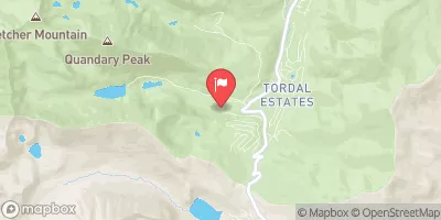
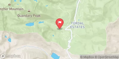
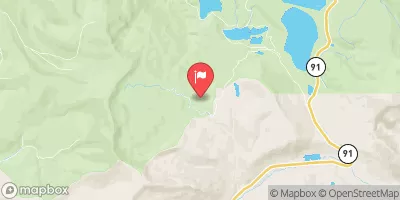
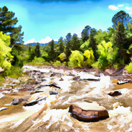
The run features technical drops and tight, narrow sections that require precise navigation. The best time to float this section of water is in the late spring to early summer when water levels are at their highest, typically ranging from 500-800 cfs. Obstacles on the river include tight chutes, steep drops, and boulder gardens, making it essential to have strong paddling skills and proper safety gear. Overall, this section of the Ten Mile River offers a thrilling and demanding whitewater experience for those up to the challenge.
°F
°F
mph
Wind
%
Humidity
15-Day Weather Outlook
River Run Details
| Last Updated | 2023-06-13 |
| River Levels | 61 cfs (2.11 ft) |
| Percent of Normal | 81% |
| Optimal Range | 600-1000 cfs |
| Status | Too Low |
| Class Level | III+ to IV- |
| Elevation | 9,111 ft |
| Run Length | 3.0 Mi |
| Streamflow Discharge | 13.8 cfs |
| Gauge Height | 1.7 ft |
| Reporting Streamgage | USGS 09050100 |
5-Day Hourly Forecast Detail
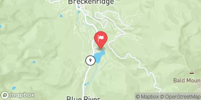
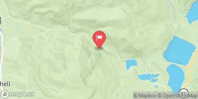
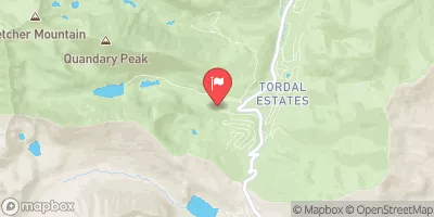
Nearby Streamflow Levels
Area Campgrounds
| Location | Reservations | Toilets |
|---|---|---|
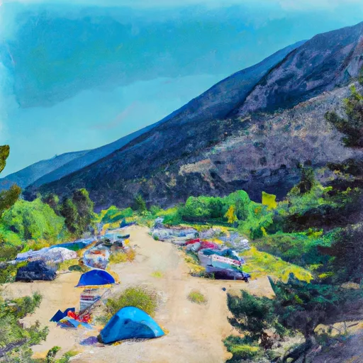 Camp Hale East Fork Group Campground
|
||
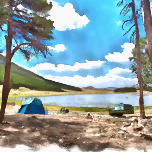 Kite Lake
|
||
 Kite Lake Campground
|
||
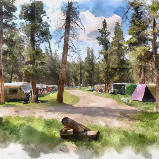 Camp Hale Memorial
|
||
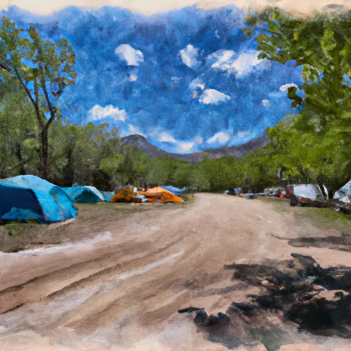 Camp Hale Memorial Campground
|
||
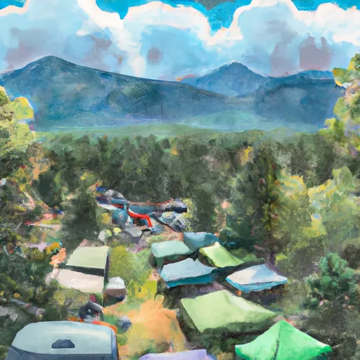 Peak One Campground
|


 Upper-Upper Ten Mile
 Upper Ten Mile
 Middle Ten Mile
 Breckenridge Whitewater Park (Town Run)
 East Fork Arkansas River
 Lower Ten Mile
 Officers Gulch Pond
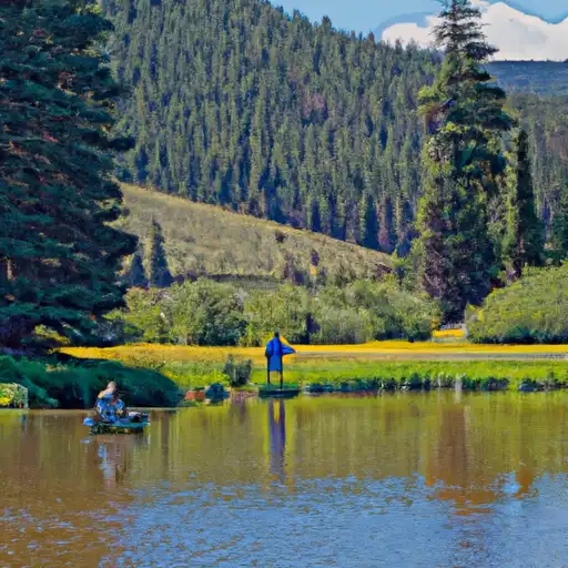 Black Lakes (Vail)
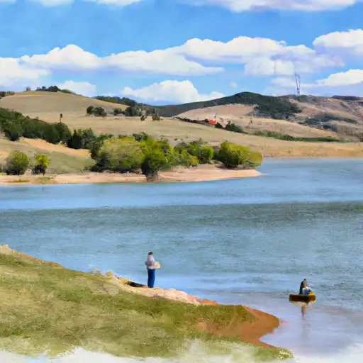 Montgomery Reservoir
 Camp Hale Pond Fishing Pier
 Giberson Bay Day Use Fishing Site