Summary
The park features several challenging obstacles, including a series of man-made drops, eddies, and waves. The river run difficulty is rated Class III-IV, making it suitable for experienced paddlers. The best time of year to float this section of water is during the spring and early summer, when water levels range from 1,000 to 3,000 cfs. At higher levels, the river can become too dangerous to navigate. Overall, the Buena Vista Whitewater Park river run offers a thrilling adventure for those seeking a challenging and exciting experience on the water.
°F
°F
mph
Wind
%
Humidity
15-Day Weather Outlook
River Run Details
| Last Updated | 2023-06-13 |
| River Levels | 214 cfs (11.27 ft) |
| Percent of Normal | 88% |
| Optimal Range | 200-5000 cfs |
| Status | Too Low |
| Class Level | II+ to III+ |
| Elevation | 8,629 ft |
| Run Length | 1.0 Mi |
| Streamflow Discharge | 157 cfs |
| Gauge Height | 11.0 ft |
| Reporting Streamgage | USGS 07087050 |
5-Day Hourly Forecast Detail
Nearby Streamflow Levels
 Arkansas River Below Granite
|
157cfs |
 Arkansas River Near Nathrop
|
258cfs |
 Clear Creek Above Clear Creek Reservoir
|
-999cfs |
 Arkansas River At Granite
|
86cfs |
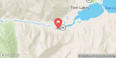 Lake Creek Above Twin Lakes Reservoir
|
-999cfs |
 Arkansas River At Salida
|
233cfs |


 Railroad Bridge - Arkansas Headwaters State Rec Area
 Camp site, free, without facilities
 Mushroom Gulch Site 1
 Ruby Mountain - Arkansas Headwaters State Rec Area
 Ruby Mountain
 Mushroom Gulch Site 3
 AHRA - Fishermans Bridge Rec Site
 AHRA - Railroad Bridge Rec Site
 AHRA - Ruby Mountain Rec Sits
 CR 300 22504, Nathrop
 AHRA - Number 4 Rec Site
 Buena Vista Whitewater Park
 Arkansas River Segment 2
 Milk Run
 Browns Canyon (Fisherman's Bridge to Stone Bridge)
 Fractions
 Numbers