Numbers
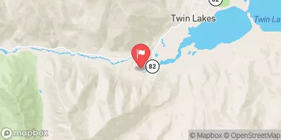
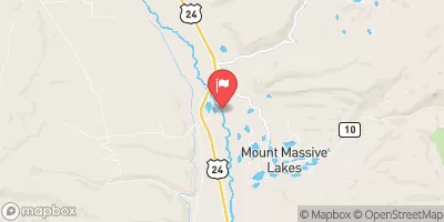
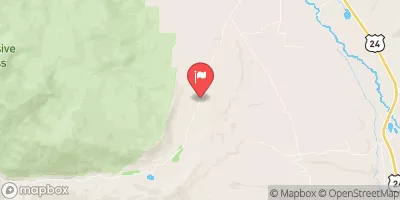
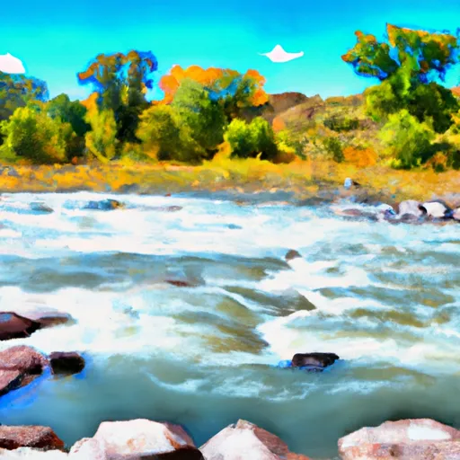
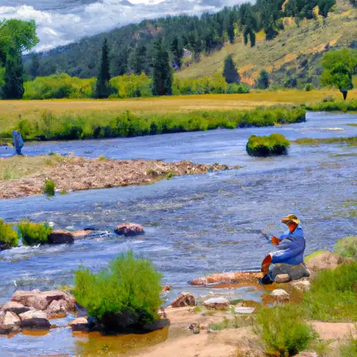
The Numbers is a classic stretch of class IV whitewater on the Arkansas River upstream of Buena Vista. When the water is high and the sun is out, this is about as good as class IV boating gets in Colorado. At low and medium flows expect to see a lot of kayakers and rafters playing their way down the river. At higher flows, you may have the run all to yourself, even on a weekend.
Suggested river levels for paddling this section of the Arkansas River are between a bare minimum of 200cfs and a high of 5,000cfs.
River conditions sourced from USGS 07087050, the Arkansas River Below Granite
Remember only watercraft are permitted
at Numbers.
Run Stats
Status | Too Low |
Class Level | III+ to IV+ |
Elevation | 8,629 ft |
Run Length | 4.9 Mi |
Gradient | 70 FPM |
Streamflow Discharge | 730 cfs |
Gage Height | 12.4 ft |
Air Temperature | 71° |
River | Arkansas River |
Reporting Streamgage |
Arkansas River Below Granite
USGS 07087050 |
Number 1
Class IV- to IV+ |
Number 1 1/2
Class III+ to IV+ |
Number 2
Class III+ to IV+ |
Number 3
Class III+ to IV+ |
Top Number 4
Class III+ to IV+ |
Number 4 1/2
Class III+ to IV+ |
Number 5
Class IV- to IV+ |
Number 5 1/2
Class III+ to IV |
Number 6
Class IV to V |
Number 7
Class IV to V |
Gauge | Streamflow | Stage |
---|---|---|
Eagle River At Red Cliff
USGS 09063000 |
44 cfs | 3.1 ft |
Middle Creek Near Minturn
USGS 09066300 |
7 cfs | 2.5 ft |
Twin-Lakes Tunnel At E Portl
USGS 09073000 |
60 cfs | 1.1 ft |
Eagle River Near Minturn
USGS 09064600 |
138 cfs | 3.6 ft |
Clear Creek Near Lawson
USGS 06716500 |
287 cfs | 3.9 ft |
Saguache Creek Near Saguache
USGS 08227000 |
63 cfs | 1.6 ft |
Wurtz Ditch Near Tenneessee Pass
USGS 09062500 |
8 cfs | 0.5 ft |
Piney River Below Piney Lake
USGS 09058500 |
39 cfs | 3.7 ft |
Tarryall Creek At Upper Station
USGS 06696980 |
27 cfs | 5.6 ft |
Roaring Fork River Near Aspen
USGS 09073400 |
105 cfs | 1.3 ft |
Snotel Site | Snowpack | 24hr Change |
---|
Campground | Campsites | Reservations | Toilets | Showers | Elevation |
---|---|---|---|---|---|
Garfield | 8 | 9,912 ft | |||
Kite Lake | 5 | 12,043 ft | |||
Collegiate Peaks | 56 | 9,837 ft | |||
Tabor | 44 | 9,897 ft | |||
Mount Princeton | 19 | 8,618 ft | |||
Dexter | 24 | 9,271 ft | |||
Fourmile | 14 | 10,824 ft | |||
Monarch Park | 37 | 10,478 ft | |||
Camp Hale Memorial | 21 | 9,318 ft | |||
Molly Brown | 49 | 9,897 ft | |||
Baby Doe | 50 | 9,913 ft | |||
Weston Pass | 14 | 10,277 ft | |||
Silver Dollar | 43 | 9,905 ft | |||
Horseshoe | 19 | 10,538 ft | |||
Cascade | 22 | 9,033 ft | |||
Chalk Lake | 19 | 8,743 ft | |||
Matchless | 17 | 9,903 ft | |||
Railroad Bridge - Arkansas Headwaters State Rec Area | None | 8,039 ft | |||
Father Dyer | 26 | 9,953 ft | |||
Cottonwood Lake | 24 | 9,586 ft | |||
Iron City | 15 | 9,928 ft | |||
Angel of Shavano | 20 | 9,147 ft | |||
North Fork Reservoir | 9 | 11,459 ft | |||
Belle of Colorado | 19 | 9,924 ft |
Ski Area | Snowpack | Air Temperature | 5 Day Forecast |
---|---|---|---|
Vail | 40" | 65° | 0" |
Keystone Resort | 36" | 63° | 0" |
Monarch Ski & Snowboard Area | 36" | 58° | 0" |
Ski Cooper | 29" | 61° | 0" |
Beaver Creek Resort | 37" | 73° | 0" |
Breckenridge Ski Resort | 48" | 68° | 0" |
Copper Mountain Resort | 48" | 68° | 0" |
Loveland | 57" | 60° | 0" |
River Run | Streamflow | Length | Class |
---|---|---|---|
Silverthorne Town Run | 42.4cfs | 0.5 Mi | II to III- |
Lower Snake | 14.2cfs | 4.0 Mi | III to III+ |
Fractions | 183.0cfs | 7.0 Mi | III to III+ |
Middle Ten Mile | 60.5cfs | 3.0 Mi | III+ to IV |
Dowd Chute | 150.0cfs | 1.0 Mi | III+ to IV+ |
Upper Gore Creek | 56.9cfs | 4.0 Mi | II+ to III |
Buena Vista Whitewater Park | 730.0cfs | 1.0 Mi | II+ to III+ |
Clear Creek of the Arkansas | 12.9cfs | 2.5 Mi | IV+ to V- |
Upper Blue (Blue River CG to Columbine Landing) | 179.0cfs | 3.0 Mi | III to IV- |
Breckenridge Whitewater Park (Town Run) | 57.4cfs | 0.25 Mi | II+ to III |
Browns Canyon (Fisherman's Bridge to Stone Bridge) | 730.0cfs | 13.0 Mi | III to IV- |
Salida Town Run (Stone Bridge to Salida WW Park) | 183.0cfs | 12.0 Mi | II to III |
The Upper | 38.3cfs | 8.0 Mi | V to V+ |
Upper Gore Creek | 56.9cfs | 4.0 Mi | II+ to III |
Pine Creek (Granite to Numbers) | 183.0cfs | 6.0 Mi | III+ to V- |
Lower Ten Mile | 60.5cfs | 3.0 Mi | II to III |
Salida to Rincon | 183.0cfs | 10.0 Mi | II+ to III |
Upper-Upper Ten Mile | 60.5cfs | 3.0 Mi | III+ to IV- |
Lower (Bottom Four) | 38.3cfs | 1.0 Mi | V to V+ |
Milk Run | 183.0cfs | 4.0 Mi | II+ to III- |
Upper Ten Mile | 60.5cfs | 2.0 Mi | IV+ to V |
Numbers | 183.0cfs | 4.9 Mi | III+ to IV+ |
Salida Whitewater Park | 183.0cfs | None Mi | III- to III+ |