Summary
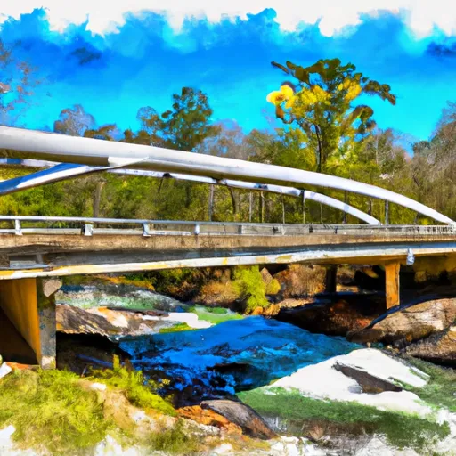
The ideal streamflow range for this run is between 500 and 2000 cfs, with higher flows providing more challenging rapids. This segment is rated as a Class II-III run, with several notable rapids and obstacles including Horseshoe Falls, Pinball, and S-Turn.
The segment covers a distance of approximately 6.5 miles, with the run taking between 2 and 3 hours to complete. It is important to note that the run ends at Robertsontown Bridge, and paddlers should not continue downstream as the river becomes more dangerous and contains several Class IV-V rapids.
There are no specific regulations to this area, but paddlers should practice Leave No Trace principles and be respectful of private property along the riverbanks. It is also recommended that paddlers wear appropriate safety gear, including a helmet and personal flotation device.
Overall, the Whitewater River Run from Martin Branch Bridge to Robertsontown Bridge on GA Highway 356 is a fun and challenging paddle for intermediate to advanced paddlers. It is important to check the streamflow and weather conditions before embarking on this run, and to be aware of the potential hazards and obstacles along the way.
°F
°F
mph
Wind
%
Humidity
15-Day Weather Outlook
River Run Details
| Last Updated | 2025-06-28 |
| River Levels | 98 cfs (0.84 ft) |
| Percent of Normal | 117% |
| Status | |
| Class Level | ii-iii |
| Elevation | ft |
| Streamflow Discharge | cfs |
| Gauge Height | ft |
| Reporting Streamgage | USGS 02330450 |
5-Day Hourly Forecast Detail
Nearby Streamflow Levels
 Chattahoochee River At Helen
|
106cfs |
 Nottely River Near Blairsville
|
123cfs |
 Chattahoochee River Near Leaf
|
291cfs |
 Chattahoochee River Near Cornelia
|
505cfs |
 Tallulah River Near Clayton
|
131cfs |
 Chestatee River Near Dahlonega
|
361cfs |
Area Campgrounds
| Location | Reservations | Toilets |
|---|---|---|
 Low Gap Campground
|
||
 Low Gap Creek
|
||
 Unicoi State Park
|
||
 Andrews Cove
|
||
 Andrews Cove Campground
|
||
 Andrews Cove Campsite
|


 Martin Branch Bridge To Robertsontown Bridge On Ga Highway 356
 Old Turnpike Crossing To Martin Branch Bridge
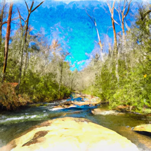 Mark Trail Wilderness Boundry To Old Turnpike Crossing Near Vandiver Branch
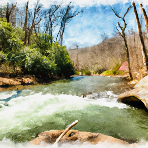 Source Near Chattahoochee Gap To Mark Trail Wilderness Boundary
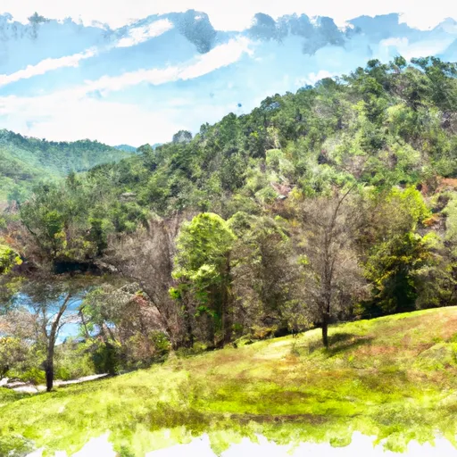 State Park Unicoi
 Unicoi State Park and Lodge
 Wilderness Raven Cliffs
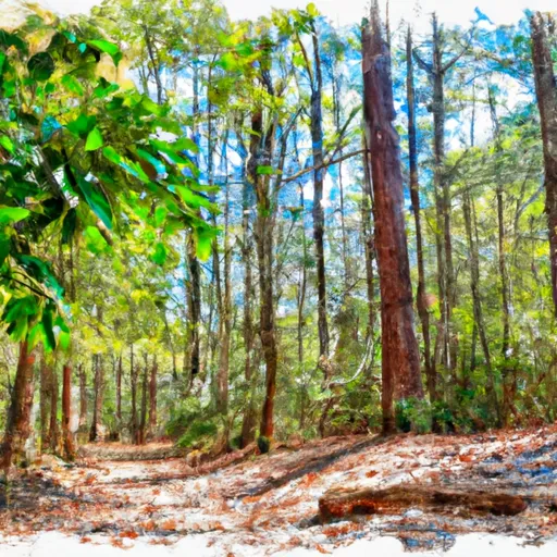 Smithgall Woods State Park
 Wilderness Tray Mountain