2026-02-18T14:00:00-07:00
* WHAT...Snow expected. There is a likelihood of minor winter weather impacts. Total snow accumulations between 1 and 3 inches. * WHERE...Elk City, Highway 12 Lowell to Lolo Pass, and Dixie. * WHEN...From 11 PM this evening to 1 PM PST Wednesday. * IMPACTS...Winter traveling conditions. For MINOR winter weather impacts, expect a few inconveniences to normal activities. Use caution while driving. The hazardous conditions could impact the Wednesday morning commute, especially over higher passes.
Summary
This section of the river is rated Class III-IV, and the ideal streamflow range for this section ranges from 1,500 to 5,000 cfs. This section of the river features thrilling rapids such as Ladle, Horseshoe, and Sudden Death, and also offers abundant opportunities for trout fishing.
The segment mileage for this section of the river is 47 miles, and it takes roughly 4-5 days to complete the journey. However, it's important to keep in mind that this section of the river is only accessible by permit, and there are specific regulations that must be followed in order to preserve the wilderness environment.
Some of the regulations for the Selway-Bitterroot Wilderness Boundary to Headwaters section of the Whitewater River Run include packing out all waste and garbage, camping in designated areas, and adhering to strict fire regulations. In addition, all boaters must obtain a permit in advance from the U.S. Forest Service, and there is a strict limit on the number of permits issued each year.
Overall, the Selway-Bitterroot Wilderness Boundary to Headwaters section of the Whitewater River Run is a thrilling and challenging adventure that offers stunning wilderness views and exciting rapids. However, it's important to plan carefully and follow all regulations in order to preserve the natural environment and ensure a safe and enjoyable trip.
°F
°F
mph
Wind
%
Humidity
15-Day Weather Outlook
River Run Details
| Last Updated | 2026-02-07 |
| River Levels | 6370 cfs (6.32 ft) |
| Percent of Normal | 67% |
| Status | |
| Class Level | iii-iv |
| Elevation | ft |
| Streamflow Discharge | cfs |
| Gauge Height | ft |
| Reporting Streamgage | USGS 13336500 |
5-Day Hourly Forecast Detail
Nearby Streamflow Levels
 Selway River Nr Lowell Id
|
2200cfs |
 Lochsa River Nr Lowell Id
|
2030cfs |
 Sf Clearwater River Nr Elk City Id
|
42cfs |
 Clear Ck At Kooskia National Fish Hatchery
|
18cfs |
 Sf Clearwater River At Stites Id
|
517cfs |
 Lolo Creek Nr Greer Id
|
771cfs |
Area Campgrounds
| Location | Reservations | Toilets |
|---|---|---|
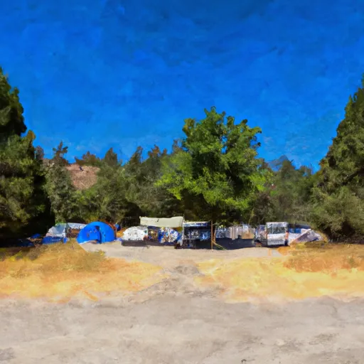 Glover Campground
|
||
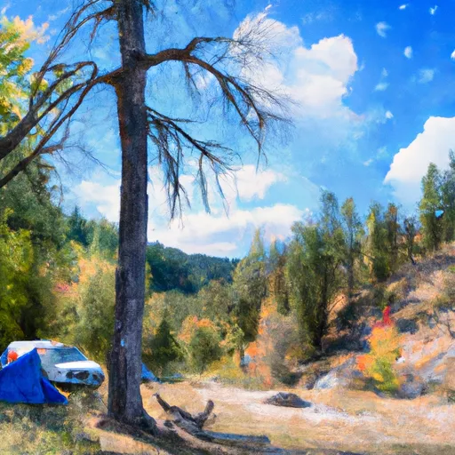 Glover Creek
|
||
 25 Mile
|
||
 Twenty-mile Bar Dispersed Site
|
||
 Gedney Creek
|
||
 Fog Mountain - Dispersed
|
River Runs
-
 Selway-Bitterroot Wilderness Boundary, Sec. 35, T33N, R9E To Headwaters, Sec. 33, T33N, R10E
-
 Headwaters (Sec 5, T32N, R10E) To Selway-Bitterroot Wilderness Boundary
-
 Wilderness Boundary To Fs Road 319
-
 Fs Road 319 To Selway River Road (Fs 223)
-
 Split Creek to Lowell
-
 Selway River, Sec. 11, T31N, R9E To Road Crossing, Sec. 14, T31N, R9E

