Summary
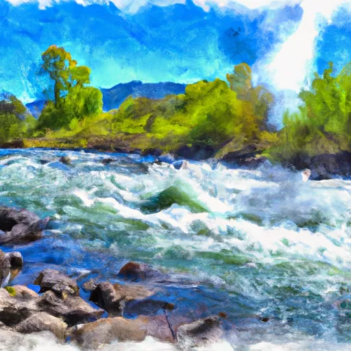
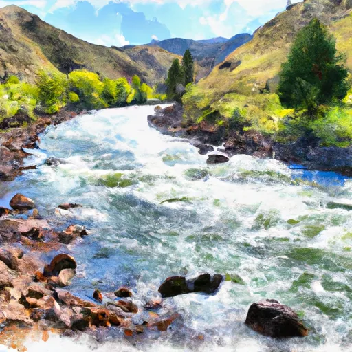
The ideal streamflow range for this segment is between 600 and 3,000 cubic feet per second (cfs), which typically occurs during the spring and early summer months. The class rating for this run ranges from Class III to Class IV, with some Class V rapids depending on the water levels.
The segment mileage for this run is approximately 8.5 miles, starting at the Headwaters and ending at the Confluence with the Salmon River. Along the way, rafters will encounter numerous rapids and obstacles, including the "Meatgrinder," which is a Class V rapid that requires precise maneuvering to navigate safely.
There are specific regulations that apply to this area, including a permit requirement for commercial outfitters and a limit on the number of trips allowed per day. Additionally, all visitors must adhere to Leave No Trace principles and are required to pack out all trash and waste.
Overall, the Whitewater River run from Headwaters to Confluence with Salmon River in Idaho is a challenging and exhilarating adventure for experienced whitewater enthusiasts. It is important to plan ahead, check water levels, and follow all regulations to ensure a safe and enjoyable trip.
°F
°F
mph
Wind
%
Humidity
15-Day Weather Outlook
River Run Details
| Last Updated | 2026-01-12 |
| River Levels | 736 cfs (8.78 ft) |
| Percent of Normal | 149% |
| Status | |
| Class Level | iii-iv |
| Elevation | ft |
| Streamflow Discharge | cfs |
| Gauge Height | ft |
| Reporting Streamgage | USGS 13296000 |
5-Day Hourly Forecast Detail
Nearby Streamflow Levels
Area Campgrounds
| Location | Reservations | Toilets |
|---|---|---|
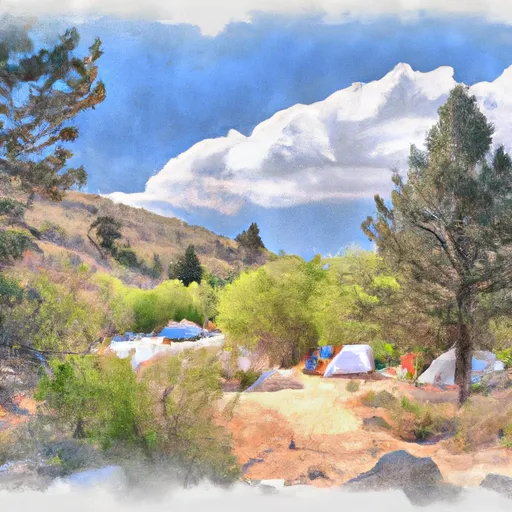 Marshall Creek Campground
|
||
 Lower Obrien
|
||
 Lower O'Brien Campground
|
||
 Upper Obrien
|
||
 Upper O'Brien Campground
|
||
 Dutchman Flat Campground
|


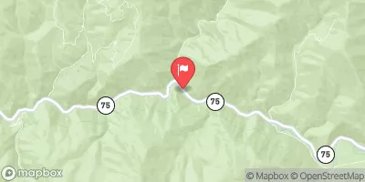
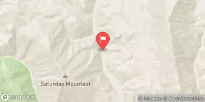
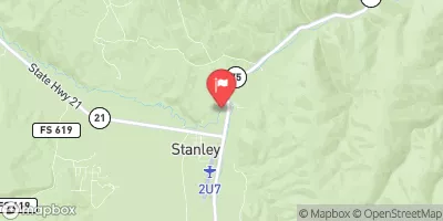
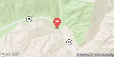
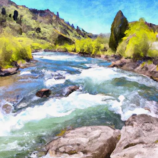 Headwaters To Confluence With Salmon River
 Piece of Cake Run (Sunbeam to Torreys)
 Torreys to East Fork
 Thompson Creek
 Salmon River