Summary
This river run is best suited for intermediate to advanced kayakers and rafters and is rated class III-IV. The ideal streamflow range for this river is between 1,000 and 3,000 cubic feet per second (cfs).
The run is approximately 12 miles long and is broken up into two main sections. The upper section is about 6 miles long and has continuous rapids with some technical maneuvers required. The lower section is less steep and has larger waves and holes. There are several named rapids on the river, including "Pinball," "T-Bone," and "S-Turn."
One of the challenges of this run is the number of downed trees and strainers, which can create dangerous obstacles. It's important to scout the river before starting the run and to be aware of any potential hazards.
Specific regulations for the area include a required permit for overnight camping, as well as regulations on fire use and human waste management. It's important to follow Leave No Trace principles and to respect private property along the river.
°F
°F
mph
Wind
%
Humidity
15-Day Weather Outlook
River Run Details
| Last Updated | 2025-06-28 |
| River Levels | 49 cfs (3.82 ft) |
| Percent of Normal | 51% |
| Status | |
| Class Level | iii-iv |
| Elevation | ft |
| Streamflow Discharge | cfs |
| Gauge Height | ft |
| Reporting Streamgage | USGS 13297330 |
5-Day Hourly Forecast Detail
Nearby Streamflow Levels
Area Campgrounds
| Location | Reservations | Toilets |
|---|---|---|
 Whiskey Flats Campground
|
||
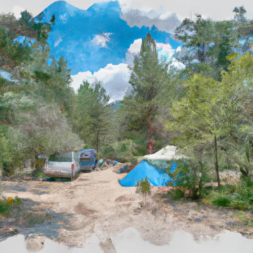 Holman Creek Campground
|
||
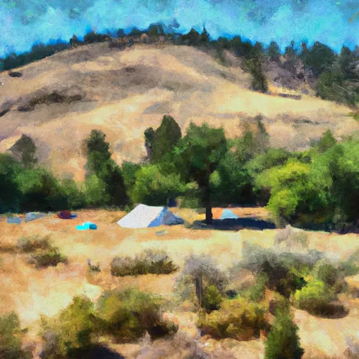 Holman Creek
|
||
 Pole Flat C/G
|
||
 Jerry's Creek Camping Area
|
||
 Pole Flat Campground
|


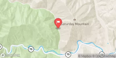
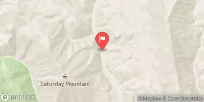
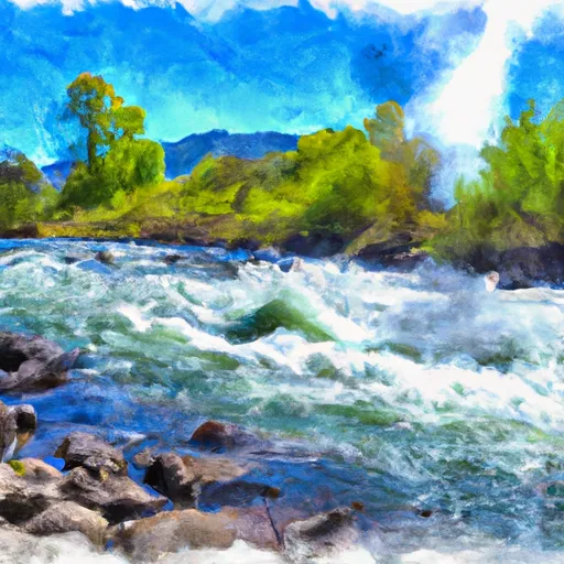 Thompson Creek
 Torreys to East Fork
 Squaw Creek
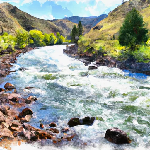 Salmon River
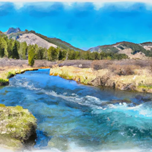 Headwaters To Sawtooth Nf Boundary
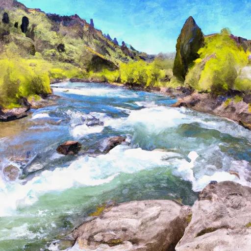 Headwaters To Confluence With Salmon River