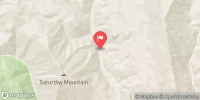
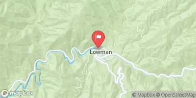
Summary
The ideal streamflow range for this run is between 500 and 2,000 cfs. It is rated as class III-IV rapids, with some sections reaching class V. The segment mileage of this run is approximately 8.5 miles.
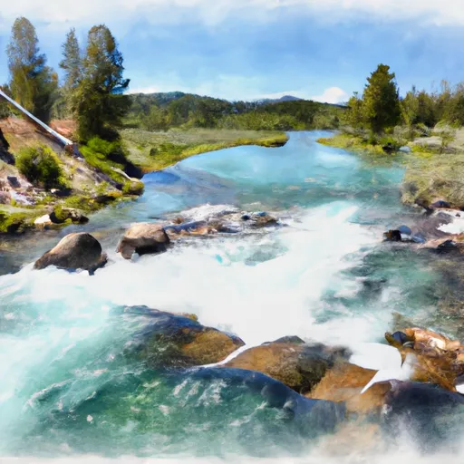
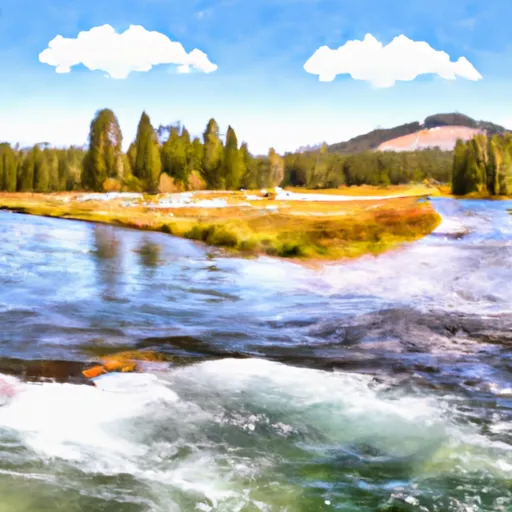
This river run is known for its steep drops, technical rapids, and narrow channels. Some of the specific rapids and obstacles that kayakers and rafters will encounter include the "S-Turn," "Tunnel of Love," "Below the Tunnel," and "The Notch." These rapids require excellent maneuvering skills and quick decision-making abilities.
There are specific regulations to the area that all visitors should follow. For instance, all visitors must obtain a permit from the Forest Service to access the river. Additionally, visitors must comply with the "Leave No Trace" policy and carry out all their trash. Visitors should also be aware that the river runs through private property, and they should respect the landowners' rights.
In conclusion, the Whitewater River Run from the Headwaters to Western Boundary Line Of Section 17 in Idaho is a thrilling river run for experienced kayakers and rafters. The ideal streamflow range is between 500 and 2,000 cfs, and the run is rated as class III-IV rapids. Visitors should be aware of specific regulations to the area, including obtaining a permit and respecting private property.
°F
°F
mph
Wind
%
Humidity
15-Day Weather Outlook
River Run Details
| Last Updated | 2026-01-26 |
| River Levels | 595 cfs (2.09 ft) |
| Percent of Normal | 122% |
| Status | |
| Class Level | iii-iv |
| Elevation | ft |
| Streamflow Discharge | cfs |
| Gauge Height | ft |
| Reporting Streamgage | USGS 13295000 |
5-Day Hourly Forecast Detail
Nearby Streamflow Levels
Area Campgrounds
| Location | Reservations | Toilets |
|---|---|---|
 Glacier View
|
||
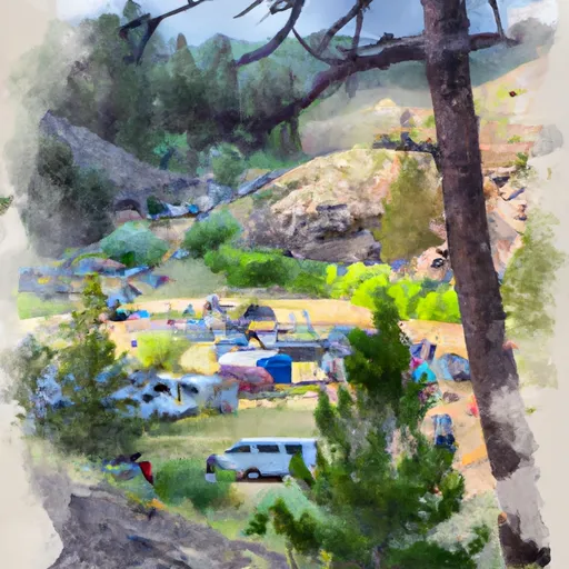 Sunny Gulch Campground
|
||
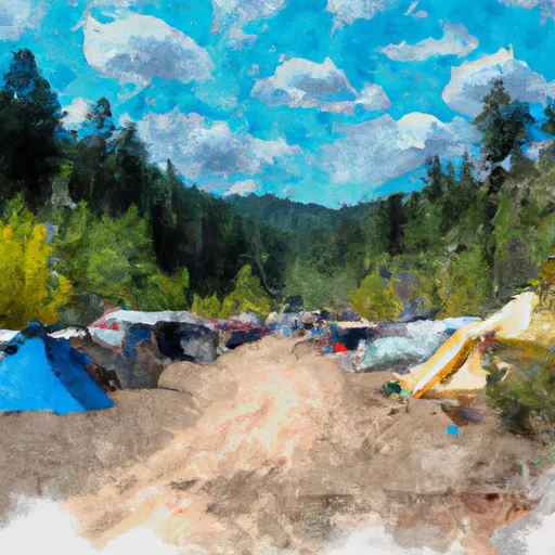 sunny gulch campgrounds
|
||
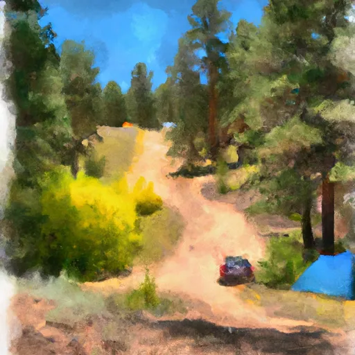 Sunny Gulch
|
||
 Point Campground
|
||
 Point
Point
|
River Runs
-
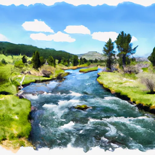 Headwaters To Western Boundary Line Of Section 17
-
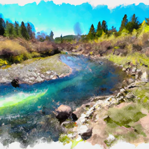 Headwaters To Western Boundary Line Of Section 34
-
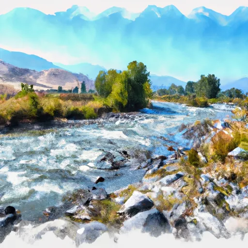 Western Boundary Line Of Section 17 To Confluence With Valley Creek
-
 Western Boundary Line Of Section 34 To Redfish Lake
-
 Sunbeam Run (Stanley to Sunbeam Dam)
-
 Outlet Redfish Lake To Confluence With Salmon River


