Summary
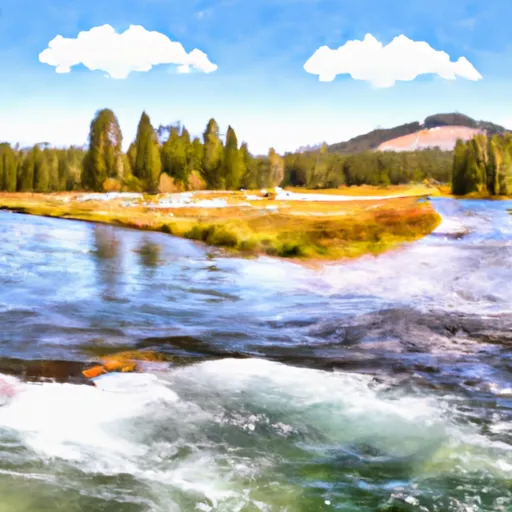
The ideal streamflow range for this section of the river is between 800-2000 cfs, which is typically from May to June when snowmelt is at its peak.
The run includes several notable rapids, including "Bumper," "The Chute," and "Big Kahuna." Paddlers should also be aware of obstacles such as downed trees and rocks, particularly in low water conditions.
As for regulations, the area is managed by the Bureau of Land Management and requires a permit for overnight camping. Paddlers should also be aware of private property along the river and respect the rights of landowners. It is also recommended to practice Leave No Trace principles to minimize impact on the environment.
Overall, the Headwaters to Western Boundary Line of Section 34 on the Whitewater River is a challenging and exciting run for experienced paddlers. It is important to check the streamflow levels and follow regulations to ensure a safe and enjoyable experience.
°F
°F
mph
Wind
%
Humidity
15-Day Weather Outlook
River Run Details
| Last Updated | 2026-01-26 |
| River Levels | 595 cfs (2.09 ft) |
| Percent of Normal | 122% |
| Status | |
| Class Level | iii-iv |
| Elevation | ft |
| Streamflow Discharge | cfs |
| Gauge Height | ft |
| Reporting Streamgage | USGS 13295000 |
5-Day Hourly Forecast Detail
Nearby Streamflow Levels
Area Campgrounds
| Location | Reservations | Toilets |
|---|---|---|
 Point Campground
|
||
 Point
Point
|
||
 Redfish Lake Recreation Complex
|
||
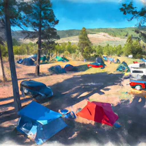 Sockeye Campground
|
||
 Mt. Heyburn Campground
|
||
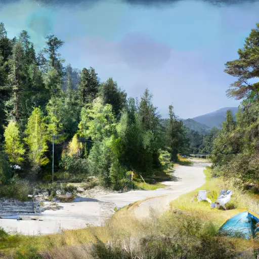 Sockeye
|


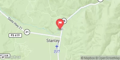
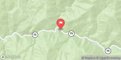
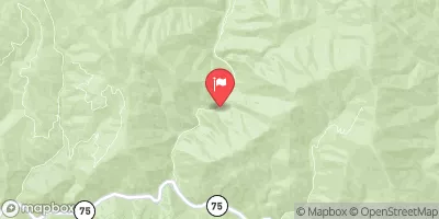
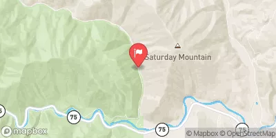
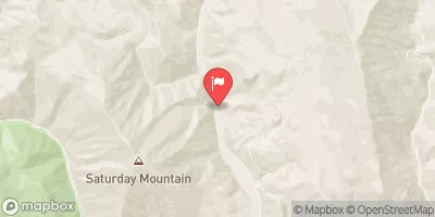
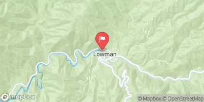
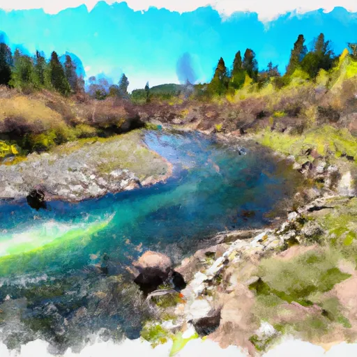 Headwaters To Western Boundary Line Of Section 34
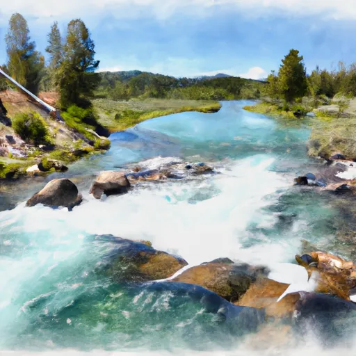 Western Boundary Line Of Section 34 To Redfish Lake
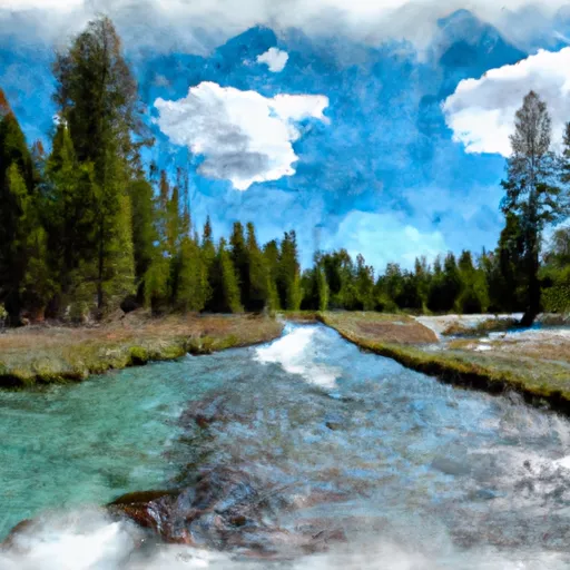 Headwaters To Inlet Redfish Lake
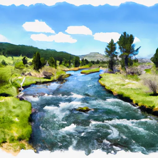 Headwaters To Western Boundary Line Of Section 17
 Outlet Redfish Lake To Confluence With Salmon River
 Headwaters (Gold Creek to Stanley)