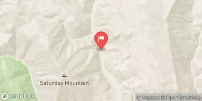
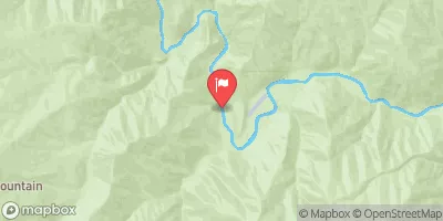
Summary
The ideal streamflow range for this segment is between 600-2000 cfs. The class rating for this section is Class III-IV, which means that it requires intermediate to advanced skills and experience. The segment mileage of this run is approximately 7 miles.
The rapids and obstacles on this section include numerous drops, ledges, and tight chutes. Specific rapids include Garden Creek, The Narrows, and The Big Drops. These rapids vary in difficulty from Class III to Class IV+. There are also several smaller rapids and boulder gardens throughout the run.
There are specific regulations in place for this area to ensure the safety of all users. All boaters must wear personal floatation devices (PFDs) and helmets. Additionally, boats must have a whistle and a throw rope. The use of alcohol and drugs is prohibited while on the river. Lastly, camping is allowed in designated areas only.
In conclusion, the Whitewater River Run from the Western Boundary Line of Section 17 to Confluence with Valley Creek in Idaho is a challenging and exciting section of whitewater. With its ideal streamflow range, class rating, segment mileage, specific river rapids/obstacles, and specific regulations, it is a popular spot for whitewater enthusiasts. It is important to follow all regulations and safety guidelines to ensure a safe and enjoyable experience for all.
°F
°F
mph
Wind
%
Humidity
15-Day Weather Outlook
River Run Details
| Last Updated | 2026-01-26 |
| River Levels | 595 cfs (2.09 ft) |
| Percent of Normal | 122% |
| Status | |
| Class Level | iii-iv |
| Elevation | ft |
| Streamflow Discharge | cfs |
| Gauge Height | ft |
| Reporting Streamgage | USGS 13295000 |
5-Day Hourly Forecast Detail
Nearby Streamflow Levels
Area Campgrounds
| Location | Reservations | Toilets |
|---|---|---|
 Glacier View
|
||
 Sunny Gulch
|
||
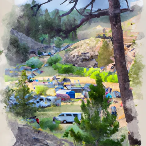 Sunny Gulch Campground
|
||
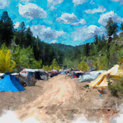 sunny gulch campgrounds
|
||
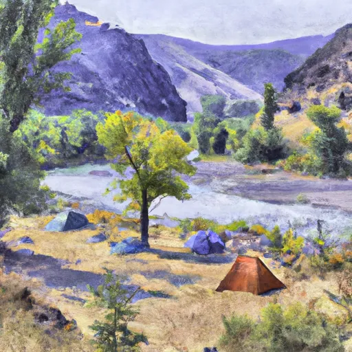 Salmon River
|
||
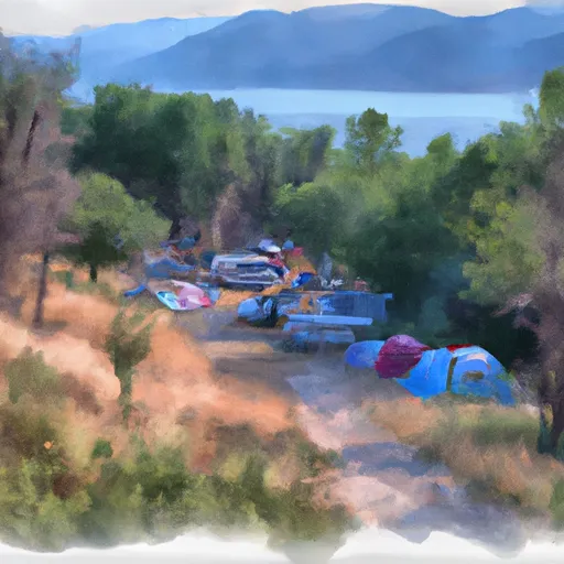 Chinook Bay Campground
|
River Runs
-
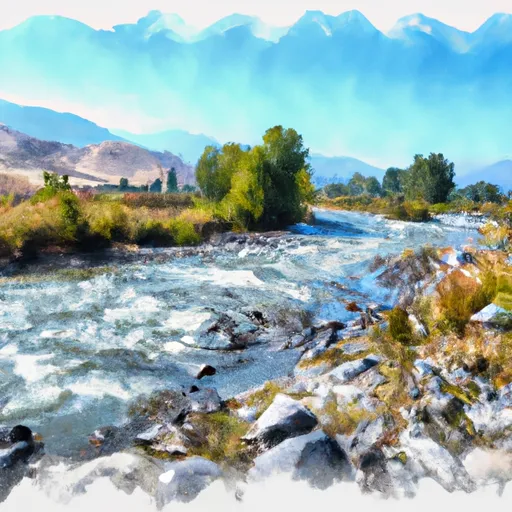 Western Boundary Line Of Section 17 To Confluence With Valley Creek
-
 Sunbeam Run (Stanley to Sunbeam Dam)
-
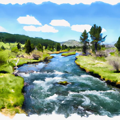 Headwaters To Western Boundary Line Of Section 17
-
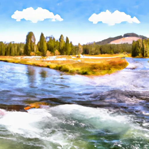 Outlet Redfish Lake To Confluence With Salmon River
-
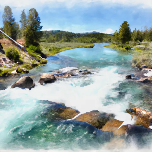 Western Boundary Line Of Section 34 To Redfish Lake
-
 Headwaters To Western Boundary Line Of Section 34


