Summary
The ideal streamflow range for the Selway River is around 1,000 to 3,000 cfs, which typically occurs in late May or early June. The river is rated as a Class IV-V, offering a challenging and exciting experience for experienced paddlers. The segment mileage for the river run is approximately 20 miles, starting at Section 11, T31N, R9E and ending at the Road Crossing, Section 14, T31N, R9E.
The Selway River run features numerous rapids and obstacles, including Moose Creek Falls, a 25-foot waterfall, and Paradise Rapids, which has several challenging drops. The river also has several technical rapids, such as the Haystacks and the Cauldron, which are known for their steep drops and powerful currents.
In terms of regulations, the Selway River is managed by the United States Forest Service and requires a permit for all visitors. Only a limited number of permits are available each year, and visitors must adhere to strict guidelines to preserve the natural environment of the area.
Overall, the Selway River run is a challenging and exciting experience for experienced whitewater paddlers. It provides a unique opportunity to explore the natural beauty of Idaho while navigating through challenging rapids and obstacles.
°F
°F
mph
Wind
%
Humidity
15-Day Weather Outlook
River Run Details
| Last Updated | 2026-02-07 |
| River Levels | 6370 cfs (6.32 ft) |
| Percent of Normal | 67% |
| Status | |
| Class Level | iv-v |
| Elevation | ft |
| Streamflow Discharge | cfs |
| Gauge Height | ft |
| Reporting Streamgage | USGS 13336500 |
5-Day Hourly Forecast Detail
Nearby Streamflow Levels
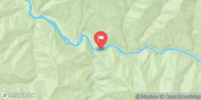 Selway River Nr Lowell Id
|
2080cfs |
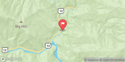 Lochsa River Nr Lowell Id
|
1860cfs |
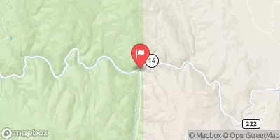 Sf Clearwater River Nr Elk City Id
|
42cfs |
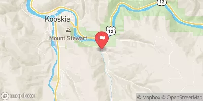 Clear Ck At Kooskia National Fish Hatchery
|
18cfs |
 Sf Clearwater River At Stites Id
|
411cfs |
 Lolo Creek Nr Greer Id
|
771cfs |
Area Campgrounds
| Location | Reservations | Toilets |
|---|---|---|
 Race Track
|
||
 Selway Falls Campground
|
||
 Selway Falls
|
||
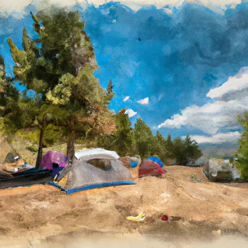 Slims Camp
|
||
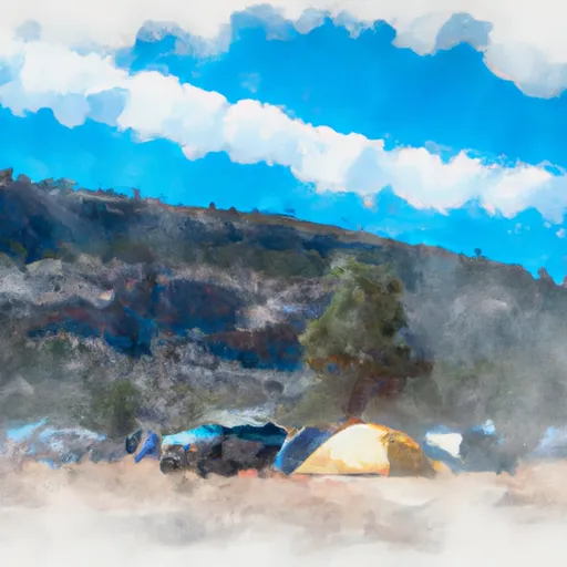 Fog Mountain - Dispersed
|
||
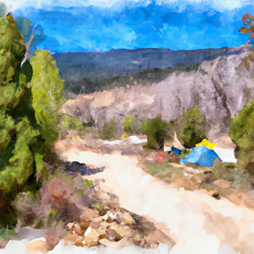 Gedney Creek
|
River Runs
-
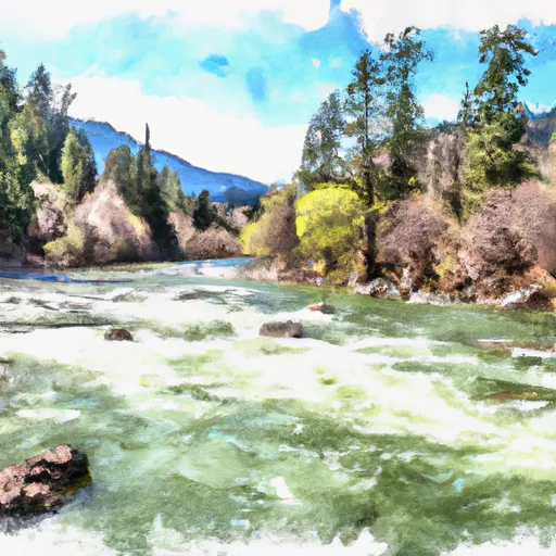 Selway River, Sec. 11, T31N, R9E To Road Crossing, Sec. 14, T31N, R9E
-
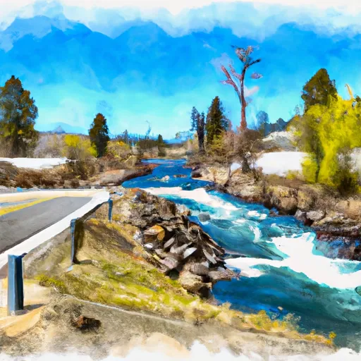 Road Crossing, Sec. 14, T31N, R9E To Headwaters
-
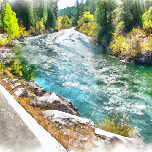 Fs Road 319 To Selway River Road (Fs 223)
-
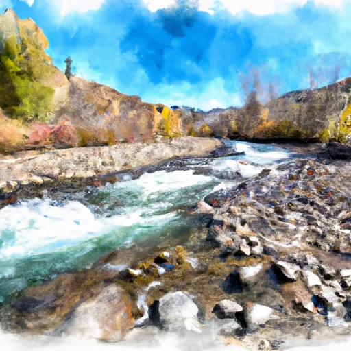 Wilderness Boundary To Fs Road 319
-
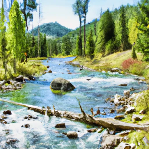 Headwaters (Sec 5, T32N, R10E) To Selway-Bitterroot Wilderness Boundary
-
 Selway-Bitterroot Wilderness Boundary, Sec. 35, T33N, R9E To Headwaters, Sec. 33, T33N, R10E

