Summary
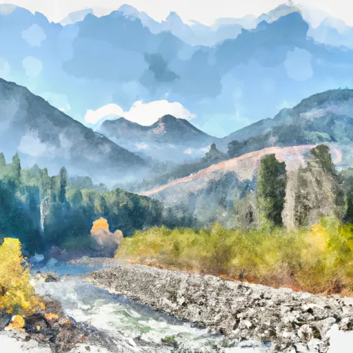
The East Fork Bull River is a beautiful river run that is located in the state of Idaho. The ideal streamflow range for this river is between 150 and 500 cfs, with the best time to run the river being in the spring. The class rating for this river is Class III, making it suitable for intermediate paddlers. The segment mileage for this river run is approximately 9 miles, which can be completed in around 3-4 hours.
One of the specific river rapids/obstacles on this river run is the Bull River Falls, which is a Class IV rapid that requires advanced skills to navigate. The river also features a few Class III rapids like the High Water, the S-Turn, and the Big Bend.
It is important to note that this river run is located within the Cabinet Mountains Wilderness, which means that there are specific regulations to the area. For example, visitors are required to obtain a permit for overnight trips and are required to practice Leave No Trace principles. Additionally, motorized vehicles and equipment are prohibited within the wilderness area.
Overall, the East Fork Bull River is a challenging and scenic river run that is suitable for experienced paddlers. With its beautiful rapids and stunning scenery, this river run is a must-visit for anyone looking for an adventure in Idaho.
°F
°F
mph
Wind
%
Humidity
15-Day Weather Outlook
River Run Details
| Last Updated | 2026-02-07 |
| River Levels | 30700 cfs (13.8 ft) |
| Percent of Normal | 134% |
| Status | |
| Class Level | iii-iv |
| Elevation | ft |
| Streamflow Discharge | cfs |
| Gauge Height | ft |
| Reporting Streamgage | USGS 12391950 |
5-Day Hourly Forecast Detail
Nearby Streamflow Levels
Area Campgrounds
| Location | Reservations | Toilets |
|---|---|---|
 Howard Lake
|
||
 Bull River Campground
|
||
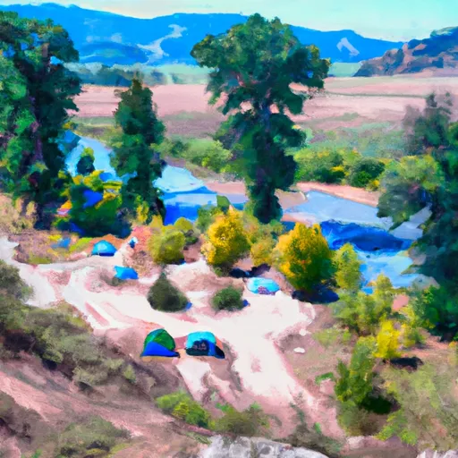 Bull River Campground and Group Site
|
||
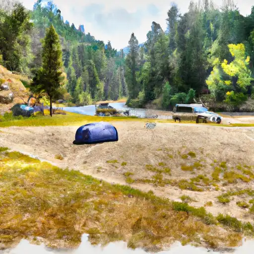 Bull River
|
||
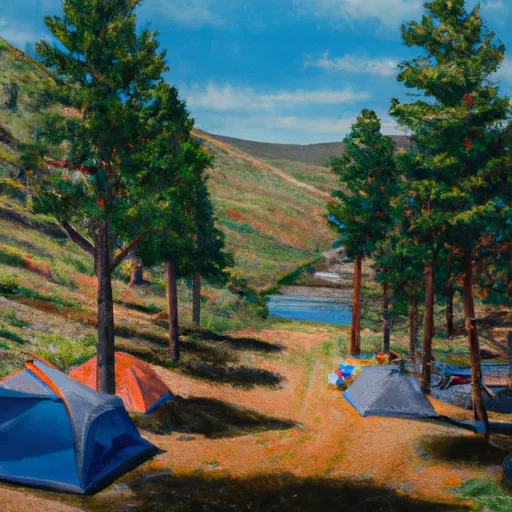 Bad Medicine
|
||
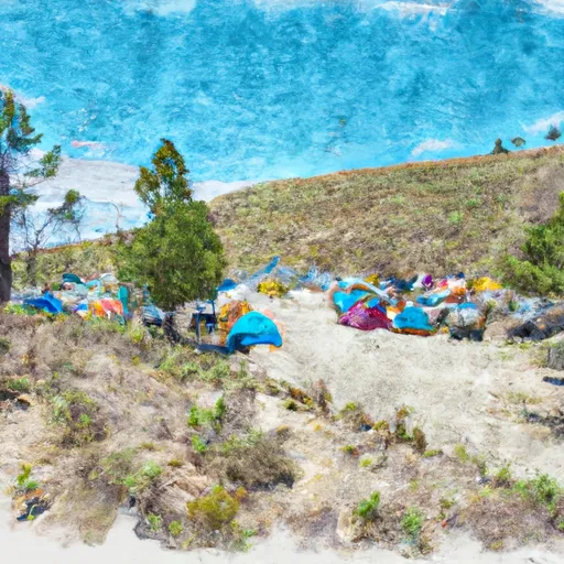 Bad Medicine Campground
|
River Runs
-
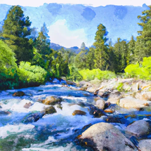 East Fork Bull River, Headwaters, Sec. 13, T27N, R32W To Cabinet Mountains Wilderness Boundary, Sec. 3, T27N, R32W
-
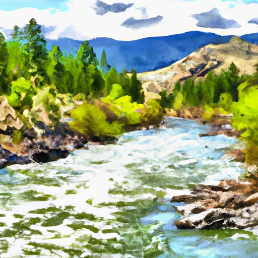 Cabinet Mtns Wilderness Boundary, Sec. 3, T27N, R32W To Bull River, Sec. 12, T27N, R33W
-
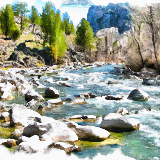 Middle Fork Bull River, Sec. 9, T28N, R33W To Proposed Addition To Cabinet Mtns Wilderness, Sec. 12, T28N, R33W
-
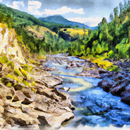 North Fork Bull River, Sec. 32, T29N, R32W To Proposed Cabinet Mtns Wilderness Boundary, Sec. 1, T28N, R32W
-
 Boundary Proposed Addition Cabinet Mtns Wilderness, Sec. To Cabinet Gorge Reservoir


