Summary
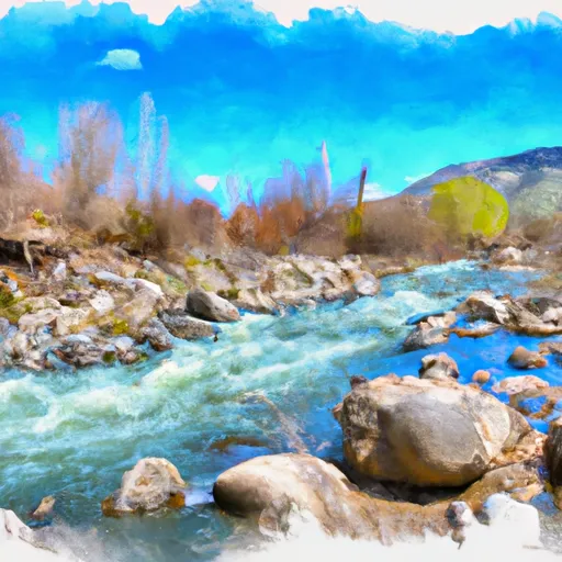
The ideal streamflow range for this river is between 800 and 2,000 cubic feet per second (cfs). The class rating for the river ranges from Class III to Class IV depending on the segment being run. The total segment mileage for the Little North Fork Clearwater River is approximately 20 miles.
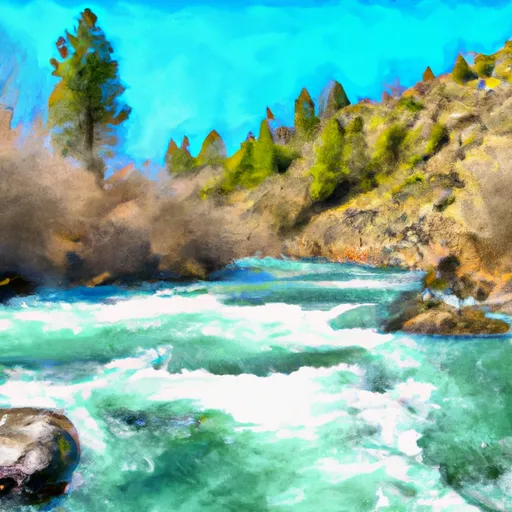
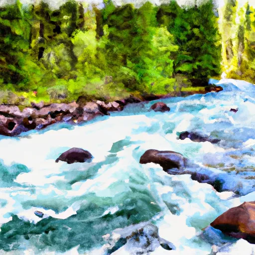
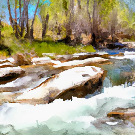
The river includes various rapids and obstacles, including the Upper Gorge, which features a tight, technical section with numerous drops and boulder gardens. The Middle Gorge includes sections of continuous Class III-IV rapids, while the Lower Gorge features larger waves and holes.
Specific regulations for the area include a permit system for commercial outfitters, as well as a requirement for personal flotation devices for all individuals on the river. Additionally, the use of glass containers is prohibited in the river corridor.
°F
°F
mph
Wind
%
Humidity
15-Day Weather Outlook
River Run Details
| Last Updated | 2025-06-28 |
| River Levels | 2300 cfs (7.45 ft) |
| Percent of Normal | 39% |
| Status | |
| Class Level | iii-iv |
| Elevation | ft |
| Streamflow Discharge | cfs |
| Gauge Height | ft |
| Reporting Streamgage | USGS 12414500 |
5-Day Hourly Forecast Detail
Nearby Streamflow Levels
Area Campgrounds
| Location | Reservations | Toilets |
|---|---|---|
 Orphan Point Saddle
|
||
 Orphan Saddle
|
||
 Crater Peak
|
||
 Camp 3
|


 Little North Fork Clearwater River
 Lost Lake Creek
 Lund Creek
 Little Lost Lake Creek