Summary
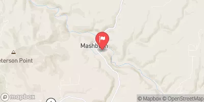
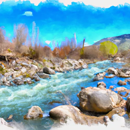
The ideal streamflow range for this river run is between 200 and 600 cubic feet per second (cfs). It is classified as a Class IV-V river, meaning it is only suitable for experienced paddlers. The segment mileage of the river run is approximately 9 miles, starting at the put-in point in the Clearwater National Forest.
The river run is characterized by several challenging rapids and obstacles, such as boulder gardens, steep drops, and tight channels. The most notable rapids include The Flume, a narrow chute that drops 10 feet; and S-Turn, a complex rapid with multiple drops and tight turns. Paddlers should also be aware of logjams and strainers, which can pose a significant risk.
There are specific regulations to the Lost Lake Creek area that paddlers should be aware of. The river run is located within the Selway-Bitterroot Wilderness, and permits are required for overnight camping. Additionally, the use of motorized vehicles is prohibited within the wilderness area, and all waste must be carried out.
Overall, Lost Lake Creek is a challenging and thrilling river run for experienced paddlers. It is important to check the streamflow conditions and adhere to all regulations to ensure a safe and enjoyable experience.
°F
°F
mph
Wind
%
Humidity
15-Day Weather Outlook
River Run Details
| Last Updated | 2025-06-28 |
| River Levels | 2300 cfs (7.45 ft) |
| Percent of Normal | 39% |
| Status | |
| Class Level | iv-v |
| Elevation | ft |
| Streamflow Discharge | cfs |
| Gauge Height | ft |
| Reporting Streamgage | USGS 12414500 |
5-Day Hourly Forecast Detail
Nearby Streamflow Levels
Area Campgrounds
| Location | Reservations | Toilets |
|---|---|---|
 Orphan Point Saddle
|
||
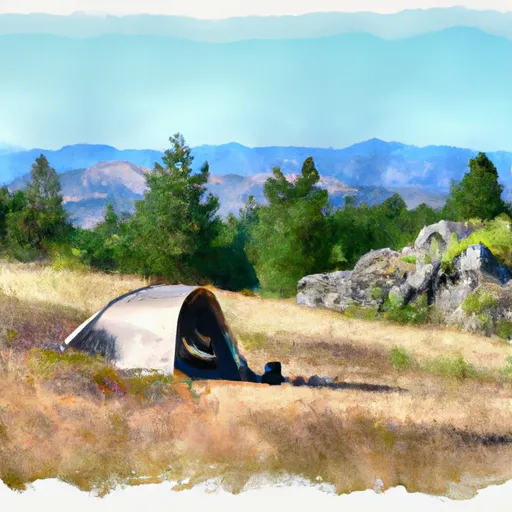 Orphan Saddle
|
||
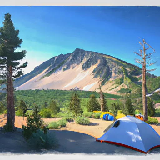 Crater Peak
|
||
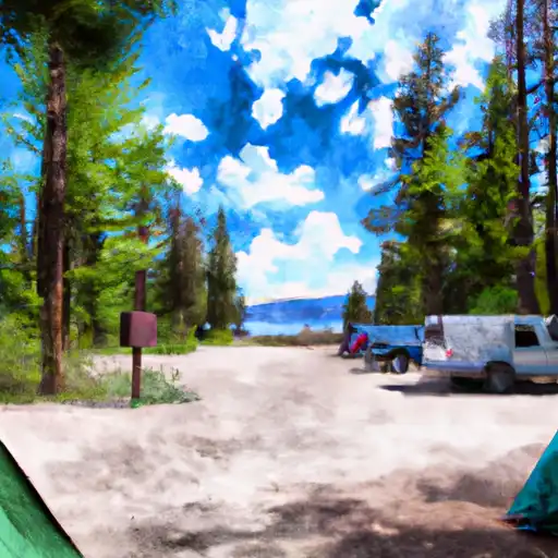 Camp 3
|


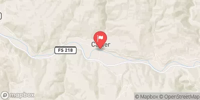
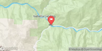
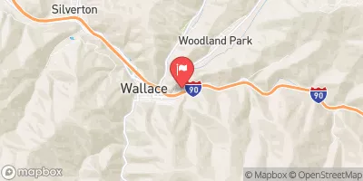
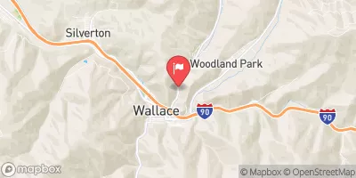
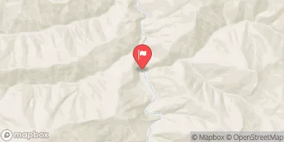
 Lost Lake Creek
 Little North Fork Clearwater River
 Little Lost Lake Creek
 Lund Creek