Southern Boundary Of Sleeping Bear Dunes National Lakeshore To Mouth At Lake Michigan River Run
Community Reviews
Been here? Share the conditions.
Reviews, ratings & photos are added in the free Snoflo iOS app — rate a spot, tag the conditions, and your visit is verified by location. Add or manage your reviews from the app.
Southern Boundary Of Sleeping Bear Dunes National Lakeshore To Mouth At Lake Michigan
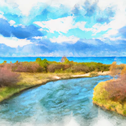
The class rating for the Whitewater River Run ranges from Class II to Class III, providing a moderate to challenging experience for paddlers. The segment mileage for this river run is approximately 10 miles, starting at the southern boundary of Sleeping Bear Dunes National Lakeshore and ending at the mouth of Lake Michigan.
Paddlers will encounter several rapids and obstacles along the way, including the Three Bears Rapid, a Class III+ rapid with three sections that require precise maneuvering. Other notable rapids include the Sand Hill Rapid, the Twisted Sister Rapid, and the Witches Cauldron Rapid.
Specific regulations to the area include a permit requirement for overnight camping along the river, as well as a prohibition on glass containers and fires outside of established fire rings. Paddlers are also required to pack out all trash and minimize their impact on the environment.
In conclusion, the Whitewater River Run is a challenging and exhilarating experience for whitewater kayakers and canoeists. Paddlers are advised to check streamflow conditions and adhere to regulations to ensure a safe and environmentally responsible trip.
Plan your run down to the hour
Same weather feed Snoflo's iOS app uses -- updated continuously from NOAA / yr.no. Watch the precipitation column on the meteogram; rain ahead of a run typically lifts flows 12-48 hours later depending on the basin.
Next 5 days, hour by hour
Temperature line with weather symbols on top, snow + rain accumulation as columns, humidity as a dotted line.
5-day forecast table
Every 3 hours, broken out across temperature, snow, rain, humidity, and wind. Each cell is colour-coded relative to the column min/max.
| Time | Condition | Temp (°F) | Snow (in) | Rain (in) | Humidity (%) | Wind (mps) | Wind dir |
|---|---|---|---|---|---|---|---|
| Loading detailed forecast… | |||||||
15-day temperature & precipitation
Daily temperatures, snow, and rain projected over the next two weeks -- the upstream story that drives next week's flows.
Regional streamflow levels
USGS streamgauges around Southern Boundary Of Sleeping Bear Dunes National Lakeshore To Mouth At Lake Michigan -- useful for spotting upstream pulses and gauging which tributary is contributing what.
| Streamgauge | Discharge | View |
|---|---|---|
| Platte River At Honor | 140 cfs | → |
| Manistee River Near Sherman | 1,150 cfs | → |
| Manistee River Near Mesick | 1,150 cfs | → |
| Manistee River Near Wellston | 1,630 cfs | → |
| Boardman R Above Brown Bridge Road Nr Mayfield | 142 cfs | → |
| Pine River At High School Bridge Nr Hoxeyville | 229 cfs | → |
Plan a longer trip
The closest boat launches, other paddle runs, and campgrounds so a day on the water can grow into a full weekend.
Boat launches
- North Scenic Highway Lake Township
- Big Platte Lake
- Weir Road Lake Township
- Lake Michigan Road 6540, Lake Township
- Little Platte Lake, 1000 Acres, Benzie County
- Deadstream Road 9877, Honor
Other river runs
- Southeastern Boundary Of Sleeping Bear Dunes National Lakeshore To Northwetern Boundary Of Sleeping Bear Dunes National Lakeshore
- Kings Road Bridge (2 Miles West Of Town Of Luther In T19n, R12w To Slackwater Of The State Fish Weir In T21n, R16w
- South Branch From Forest Boundary East Of Hesperia At West Section Line Of Sec 22, T14n, R14w To Echo Drive In Sec 6, T13n, R12w
- North Branch From Its Confluence With South Branch In Sec 22, T13n, R16 W To Mclaren Lake In Sec 11, T14n, R15w
- Mainstem To Forest Boundary At North Section Line Of Sec 2, T13n, R15w (1.5 Miles West Of Herperia)
Campgrounds
- Sleeping Bear Dunes National Lakeshore - Platte River Campground
- White Pine Backcountry Campground
- Sleeping Bear National Lake Shore - White Pine Campground
- Vacation Trailer Park
- Empire Township Campground
- Betsie River Campsite
Fishing spots
- Betsie Lake
- Lake Dubonnet
- Lake Arcadia (Public Fishing Dock At Grebe Park)
- Lake Leelanau
- Kids Creek
- Boardman Lake
Parks
Whitewater safety
- Check the flow before you run
- Use the linked-gauge card and Regional Flow panel above. Class ratings change with flow -- a Class III at low water can become Class IV+ at high water.
- Know your skill ceiling
- Pick runs comfortably below your ceiling. Cold-water and big-water runs raise the consequences of any mistake.
- Wear the right gear
- Helmet, PFD, drysuit / wetsuit when water is below 60°F. Throw bag, knife, and whistle on your person, not in the boat.
- Scout, set safety, and run with a team
- Scout new rapids on foot, set safety with throw bags above the consequence pool, and run with at least one other competent paddler.
- Respect the river
- Strainers, undercuts, low-head dams, and wood can kill at any class rating. When in doubt, portage.
Set push alerts in the Snoflo app
Save Southern Boundary Of Sleeping Bear Dunes National Lakeshore To Mouth At Lake Michigan as a favorite, set a discharge threshold (e.g. "alert me when flow hits 600 cfs"), and the iOS app pushes the moment the linked gauge crosses.
About Southern Boundary Of Sleeping Bear Dunes National Lakeshore To Mouth At Lake Michigan
What's the optimal flow for Southern Boundary Of Sleeping Bear Dunes National Lakeshore To Mouth At Lake Michigan?
The optimal flow depends on the section and the craft. Check the Run Details panel for the linked gauge and current status.
How fresh is the cfs reading on this page?
The linked USGS streamgauge reports continuously (every 15 minutes); Snoflo refreshes throughout the day. Hover the streamflow sparkline to read individual datapoints.
What's the whitewater class?
See the Run Details panel for the class rating Snoflo tracks for this run. Class ratings change with flow -- a Class III at low water can become Class IV in high water.
Where do I put in / take out?
Tap Directions in the hero above to open driving directions to the put-in. For shuttle planning, check the Nearby Boat Launches panel and the river run operator's site.
Can I get alerts when flows hit the optimal range?
Yes -- alerts are managed in the Snoflo iOS app. Favorite this run, set a discharge threshold, and you'll get a push the moment the gauge crosses.
Other runs near here
Snoflo-tracked paddle runs within driving distance of Southern Boundary Of Sleeping Bear Dunes National Lakeshore To Mouth At Lake Michigan.