The Confluence Of The Clearwater River To The Northwestern Corporate Boundary Of Anoka river run
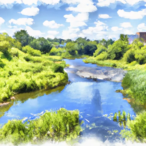
The Confluence Of The Clearwater River To The Northwestern Corporate Boundary Of Anoka
Some of the notable rapids include "Pinball", "Pinch", "Roller Coaster", and "Island Rapids". There are also several logjams and strainers that paddlers should be aware of. It is recommended that paddlers have at least intermediate-level skills and experience before attempting the Whitewater River Run.
The Minnesota Department of Natural Resources has specific regulations for the area, including a mandatory life jacket requirement, a prohibition on alcohol consumption, and a ban on camping within the first two miles of the segment. Additionally, paddlers should be aware of private property boundaries along the river.
Plan your run down to the hour
Same weather feed Snoflo's iOS app uses -- updated continuously from NOAA / yr.no. Watch the precipitation column on the meteogram; rain ahead of a run typically lifts flows 12-48 hours later depending on the basin.
Next 5 days, hour by hour
Temperature line with weather symbols on top, snow + rain accumulation as columns, humidity as a dotted line.
5-day forecast table
Every 3 hours, broken out across temperature, snow, rain, humidity, and wind. Each cell is colour-coded relative to the column min/max.
| Time | Condition | Temp (°F) | Snow (in) | Rain (in) | Humidity (%) | Wind (mps) | Wind dir |
|---|---|---|---|---|---|---|---|
| Loading detailed forecast… | |||||||
15-day temperature & precipitation
Daily temperatures, snow, and rain projected over the next two weeks -- the upstream story that drives next week's flows.
Regional streamflow levels
USGS streamgauges around The Confluence Of The Clearwater River To The Northwestern Corporate Boundary Of Anoka -- useful for spotting upstream pulses and gauging which tributary is contributing what.
| Streamgauge | Discharge | View |
|---|---|---|
| Mississippi River At St. Cloud | 5,460 cfs | → |
| Sauk River Near St. Cloud | 531 cfs | → |
| Elk River Near Big Lake | 246 cfs | → |
| Crow River At Rockford | 1,640 cfs | → |
| Mississippi River Near Royalton | 4,670 cfs | → |
| Rum River Near St. Francis | 586 cfs | → |
Plan a longer trip
The closest boat launches, other paddle runs, and campgrounds so a day on the water can grow into a full weekend.
Boat launches
- State Highway 24 Clearwater
- Us 10 Sherburne County
- Beaver Islands Trail St. Cloud
- St. Cloud
- Riverside Drive Northeast 501, St. Cloud
Other river runs
- The Beaver Islands At St. Cloud To The Confluence Of The Clearwater River
- Blanchard Dam To Ends One Mile Downstream From The Southern Village Boundary Of Rice
- The 25-Acre Island Just South Of Brainerd To Roscoe Island
- The Site Of Old Sandstone Hydroelectric Dam To The Confluence With St. Croix River
- The Discharge Of The Flood Diversion Channel To Riverton
Whitewater safety
- Check the flow before you run
- Use the linked-gauge card and Regional Flow panel above. Class ratings change with flow -- a Class III at low water can become Class IV+ at high water.
- Know your skill ceiling
- Pick runs comfortably below your ceiling. Cold-water and big-water runs raise the consequences of any mistake.
- Wear the right gear
- Helmet, PFD, drysuit / wetsuit when water is below 60°F. Throw bag, knife, and whistle on your person, not in the boat.
- Scout, set safety, and run with a team
- Scout new rapids on foot, set safety with throw bags above the consequence pool, and run with at least one other competent paddler.
- Respect the river
- Strainers, undercuts, low-head dams, and wood can kill at any class rating. When in doubt, portage.
Set push alerts in the Snoflo app
Save The Confluence Of The Clearwater River To The Northwestern Corporate Boundary Of Anoka as a favorite, set a discharge threshold (e.g. "alert me when flow hits 600 cfs"), and the iOS app pushes the moment the linked gauge crosses.
About The Confluence Of The Clearwater River To The Northwestern Corporate Boundary Of Anoka
What's the optimal flow for The Confluence Of The Clearwater River To The Northwestern Corporate Boundary Of Anoka?
The optimal flow depends on the section and the craft. Check the Run Details panel for the linked gauge and current status.
How fresh is the cfs reading on this page?
The linked USGS streamgauge reports continuously (every 15 minutes); Snoflo refreshes throughout the day. Hover the streamflow sparkline to read individual datapoints.
What's the whitewater class?
See the Run Details panel for the class rating Snoflo tracks for this run. Class ratings change with flow -- a Class III at low water can become Class IV in high water.
Where do I put in / take out?
Tap Directions in the hero above to open driving directions to the put-in. For shuttle planning, check the Nearby Boat Launches panel and the river run operator's site.
Can I get alerts when flows hit the optimal range?
Yes -- alerts are managed in the Snoflo iOS app. Favorite this run, set a discharge threshold, and you'll get a push the moment the gauge crosses.
Other runs near here
Snoflo-tracked paddle runs within driving distance of The Confluence Of The Clearwater River To The Northwestern Corporate Boundary Of Anoka.