Canyon Creek Headwaters, Sec. 28, T17n, R11w To Dry Creek, Sec. 11, T17n, R11w River Run
Community Reviews
Been here? Share the conditions.
Reviews, ratings & photos are added in the free Snoflo iOS app — rate a spot, tag the conditions, and your visit is verified by location. Add or manage your reviews from the app.
Canyon Creek Headwaters, Sec. 28, T17n, R11w To Dry Creek, Sec. 11, T17n, R11w
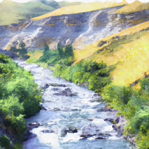
The segment mileage of this river run is approximately 6 miles, starting at Canyon Creek Headwaters in Section 28, T17N, R11W and ending at Dry Creek in Section 11, T17N, R11W. The rapids in this section are named after famous mountains in the area, including Granite, Saphire, and Baldy. Paddlers should be careful of the boulder gardens in Saphire Rapids and the steep drop in Baldy Rapid.
The Montana Fish, Wildlife & Parks department has specific regulations for this area, including the use of personal flotation devices, restrictions on alcohol consumption, and a ban on motorized boats. Paddlers should also be aware of private land boundaries and obtain permission before accessing them.
Overall, the Whitewater River Run Canyon Creek Headwaters to Dry Creek is a challenging and exciting river run for experienced paddlers. It provides a great opportunity to enjoy the scenic beauty of Montana while testing your skills on the water.
Plan your run down to the hour
Same weather feed Snoflo's iOS app uses -- updated continuously from NOAA / yr.no. Watch the precipitation column on the meteogram; rain ahead of a run typically lifts flows 12-48 hours later depending on the basin.
Next 5 days, hour by hour
Temperature line with weather symbols on top, snow + rain accumulation as columns, humidity as a dotted line.
5-day forecast table
Every 3 hours, broken out across temperature, snow, rain, humidity, and wind. Each cell is colour-coded relative to the column min/max.
| Time | Condition | Temp (°F) | Snow (in) | Rain (in) | Humidity (%) | Wind (mps) | Wind dir |
|---|---|---|---|---|---|---|---|
| Loading detailed forecast… | |||||||
15-day temperature & precipitation
Daily temperatures, snow, and rain projected over the next two weeks -- the upstream story that drives next week's flows.
Regional streamflow levels
USGS streamgauges around Canyon Creek Headwaters, Sec. 28, T17n, R11w To Dry Creek, Sec. 11, T17n, R11w -- useful for spotting upstream pulses and gauging which tributary is contributing what.
| Streamgauge | Discharge | View |
|---|---|---|
| Nf Blackfoot R Ab Dry Gulch Nr Ovando Mt | 337 cfs | → |
| Blackfoot R Ab Nevada Cr Nr Helmville Mt | 359 cfs | → |
| South Fork Sun River Near Augusta Mt | 185 cfs | → |
| North Fork Sun River Near Augusta Mt | 203 cfs | → |
| Sun River Bl Diversion Dam Nr Augusta Mt | 109 cfs | → |
| Nevada Cr Ab Reservoir | 27 cfs | → |
Plan a longer trip
The closest boat launches, other paddle runs, and campgrounds so a day on the water can grow into a full weekend.
Other river runs
- Cabin Creek Headwaters, Sec. 13, T17n, R10w To Dry Fork, Sec. 13, T17n, R11w
- Dwight Creek, Sec. 12, T17n, R12w To Dry Creek, Sec. 3, T17n, R11w
- Dry Fork Headwaters, Sec. 30, T17n, R10w To Mainstem, Sec. 30, T17n, R10w
- Cooney Cr Headwaters, Sec. 17, T19n, R9w To Mainstem, Sec. 1, T17n, R10w
- Nf Blackfoot Headwaters, Sec. 34, T18n, R9w To Main North Fork Trailhead, Sec. 27, T16n, R11w
Campgrounds
- Monture Creek Campground
- Monture Creek
- Monture Guard Station Cabin
- Big Nelson Complex
- Big Nelson Campground
- Wood Lake Campground
Fishing spots
Whitewater safety
- Check the flow before you run
- Use the linked-gauge card and Regional Flow panel above. Class ratings change with flow -- a Class III at low water can become Class IV+ at high water.
- Know your skill ceiling
- Pick runs comfortably below your ceiling. Cold-water and big-water runs raise the consequences of any mistake.
- Wear the right gear
- Helmet, PFD, drysuit / wetsuit when water is below 60°F. Throw bag, knife, and whistle on your person, not in the boat.
- Scout, set safety, and run with a team
- Scout new rapids on foot, set safety with throw bags above the consequence pool, and run with at least one other competent paddler.
- Respect the river
- Strainers, undercuts, low-head dams, and wood can kill at any class rating. When in doubt, portage.
Set push alerts in the Snoflo app
Save Canyon Creek Headwaters, Sec. 28, T17n, R11w To Dry Creek, Sec. 11, T17n, R11w as a favorite, set a discharge threshold (e.g. "alert me when flow hits 600 cfs"), and the iOS app pushes the moment the linked gauge crosses.
About Canyon Creek Headwaters, Sec. 28, T17n, R11w To Dry Creek, Sec. 11, T17n, R11w
What's the optimal flow for Canyon Creek Headwaters, Sec. 28, T17n, R11w To Dry Creek, Sec. 11, T17n, R11w?
The optimal flow depends on the section and the craft. Check the Run Details panel for the linked gauge and current status.
How fresh is the cfs reading on this page?
The linked USGS streamgauge reports continuously (every 15 minutes); Snoflo refreshes throughout the day. Hover the streamflow sparkline to read individual datapoints.
What's the whitewater class?
See the Run Details panel for the class rating Snoflo tracks for this run. Class ratings change with flow -- a Class III at low water can become Class IV in high water.
Where do I put in / take out?
Tap Directions in the hero above to open driving directions to the put-in. For shuttle planning, check the Nearby Boat Launches panel and the river run operator's site.
Can I get alerts when flows hit the optimal range?
Yes -- alerts are managed in the Snoflo iOS app. Favorite this run, set a discharge threshold, and you'll get a push the moment the gauge crosses.
Other runs near here
Snoflo-tracked paddle runs within driving distance of Canyon Creek Headwaters, Sec. 28, T17n, R11w To Dry Creek, Sec. 11, T17n, R11w.