Summary
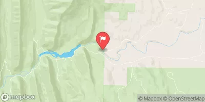
This section has a class rating of III+ and covers a distance of approximately 9 miles. The ideal streamflow range for this section is between 500-1500 cfs.
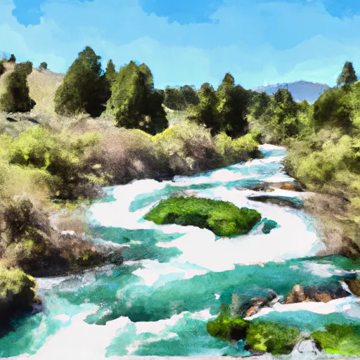
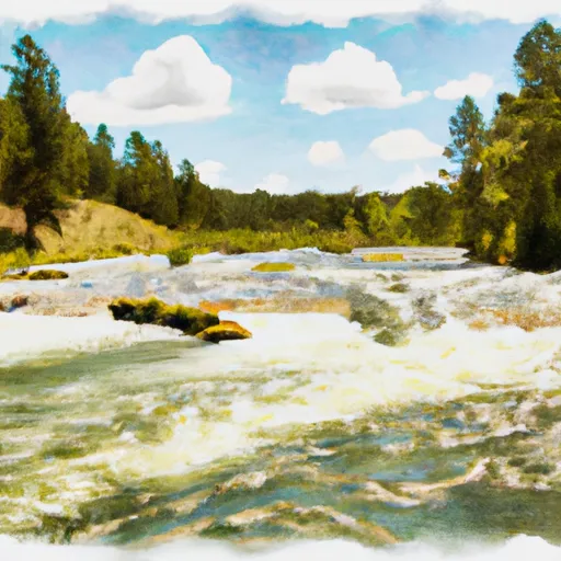
There are several notable rapids and obstacles on this section of the river, including the Class III+ Drop and S-Turn Rapids, as well as the Class III+ Hole-in-the-Wall Rapids. The river is also known for its scenic beauty, as it flows through a rugged canyon with steep walls.
In terms of regulations, this section of the Whitewater River is managed by the Bureau of Land Management and is subject to certain restrictions. Boaters are required to carry a Type III or V personal flotation device, and are not allowed to camp within 100 feet of the river. Additionally, there are limits on the number of people in a group and the number of boats allowed on the river at any given time.
Overall, the Dwight Creek to Dry Creek section of the Whitewater River is a challenging and exciting run for experienced whitewater paddlers. Boaters should always check the current streamflow and weather conditions before embarking on this run, and should be prepared for the various rapids and obstacles along the way.
°F
°F
mph
Wind
%
Humidity
15-Day Weather Outlook
River Run Details
| Last Updated | 2026-02-07 |
| River Levels | 1000 cfs (5.87 ft) |
| Percent of Normal | 176% |
| Status | |
| Class Level | iii+ |
| Elevation | ft |
| Streamflow Discharge | cfs |
| Gauge Height | ft |
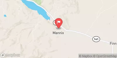
| Reporting Streamgage | USGS 12338300 |
5-Day Hourly Forecast Detail
Nearby Streamflow Levels
Area Campgrounds
| Location | Reservations | Toilets |
|---|---|---|
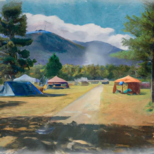 Monture Creek Campground
|
||
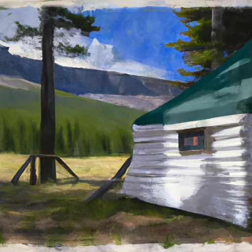 Monture Guard Station Cabin
|
||
 Monture Creek
|
River Runs
-
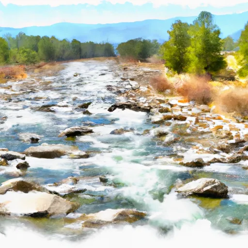 Dwight Creek, Sec. 12, T17N, R12W To Dry Creek, Sec. 3, T17N, R11W
-
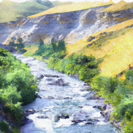 Canyon Creek Headwaters, Sec. 28, T17N, R11W To Dry Creek, Sec. 11, T17N, R11W
-
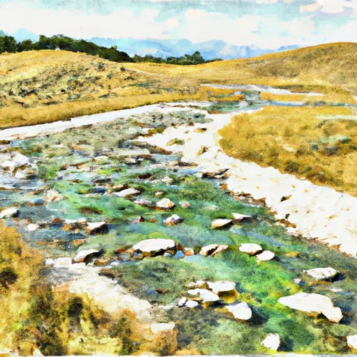 Cabin Creek Headwaters, Sec. 13, T17N, R10W To Dry Fork, Sec. 13, T17N, R11W
-
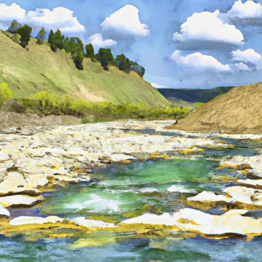 Dry Fork Headwaters, Sec. 30, T17N, R10W To Mainstem, Sec. 30, T17N, R10W
-
 Cooney Cr Headwaters, Sec. 17, T19N, R9W To Mainstem, Sec. 1, T17N, R10W
-
 Dobrota Headwaters, Sec. 23, T18N, R10W To Mainstem, Sec. 31, T18N, R9W


