Summary
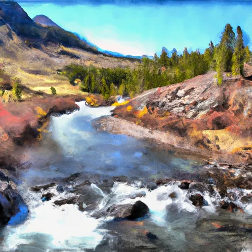
19, T8S, R20E to the Absaroka-Beartooth Wilderness Boundary in Montana is a thrilling outdoor adventure for experienced kayakers and rafters. The ideal streamflow range for this section of the river is between 400-1200 cfs. It is rated as Class III-IV rapids, offering exciting challenges for paddlers. This segment of the river is approximately 10 miles long and features several exhilarating rapids, including Double Drop, Clavey Falls, and Dornan's Drop.
There are specific regulations in place for this area to ensure the safety of all visitors. Boaters are required to obtain a permit from the Custer Gallatin National Forest prior to launching their watercraft. Additionally, all visitors must comply with Leave No Trace principles to protect the wilderness area and preserve the natural environment.
In conclusion, the Whitewater River run from the Custer Forest Boundary, Sec. 19, T8S, R20E to the Absaroka-Beartooth Wilderness Boundary in Montana is a challenging and exciting river adventure. Experienced paddlers should be aware of the ideal streamflow range, class rating, segment mileage, specific rapids/obstacles, and regulations to ensure a safe and enjoyable experience.
°F
°F
mph
Wind
%
Humidity
15-Day Weather Outlook
River Run Details
| Last Updated | 2026-02-07 |
| River Levels | 487 cfs (6.38 ft) |
| Percent of Normal | 98% |
| Status | |
| Class Level | iii-iv |
| Elevation | ft |
| Streamflow Discharge | cfs |
| Gauge Height | ft |
| Reporting Streamgage | USGS 06209500 |
5-Day Hourly Forecast Detail
Nearby Streamflow Levels
Area Campgrounds
| Location | Reservations | Toilets |
|---|---|---|
 Sheridan Campground
|
||
 Rattine Campground
|
||
 Rattin Campground
|
||
 Basin Campground
|
||
 Parkside Campground and Group Campsites
|
||
 Greenough Lake Campground
|
River Runs
-
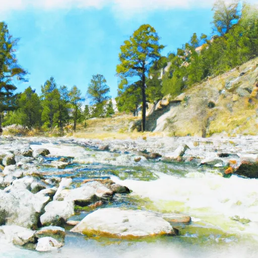 Custer Forest Boundary, Sec. 19, T8S, R20E To Absaroka-Beartooth Wilderness Boundary
-
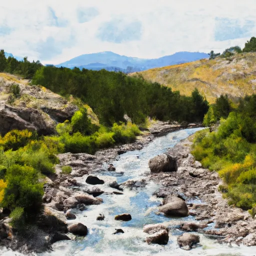 Custer Boundary, Sec. 6, T8S, R20E To Absaroka-Beartooth Wilderness Boundary
-
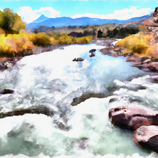 Confluence Rock Creek, Sec. 34, T8S, R19E To Absaroka-Beartooth Wilderness Boundary
-
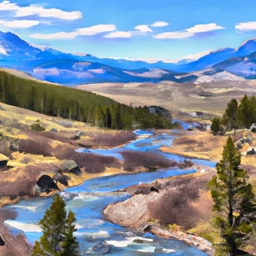 Absaroka-Beartooth Wilderness Boundary To Headwaters, Sec. 10, T9S, R17E
-
 Absaroka-Beartooth Wilderness Boundary To Headwaters, Sec. 25, T8S, R17E


 Horsethief Station
 Beaver Lodge
 Bull Springs