Headwaters In Gila National Forest To Eastern Boundary Of Gila Cliff Dwellings National Monument Paddle Report
Last Updated: 2026-02-12
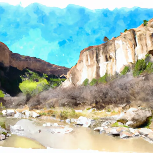
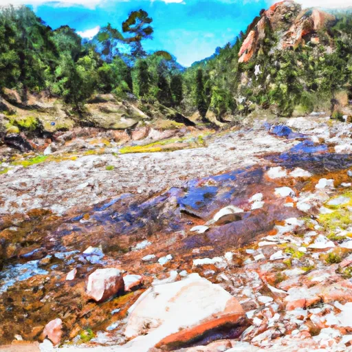
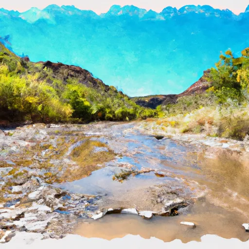
The Whitewater River Run from the Headwaters in Gila National Forest to the Eastern Boundary of Gila Cliff Dwellings National Monument in New Mexico is a scenic and exciting adventure for white water enthusiasts.
Summary
The ideal streamflow range for this run is between 200 and 600 cfs. The class rating varies from Class II to Class IV, making it a fun challenge for experienced paddlers.
The segment mileage for the Whitewater River Run is approximately 16 miles, with specific rapids and obstacles, such as the Funnel, the Narrows, and the Squeeze. These rapids offer exciting drops and waves, making it an unforgettable experience. However, it is important to note that the Whitewater River Run can be a dangerous river, and safety precautions must be taken.
Specific regulations to the area include obtaining a permit from the US Forest Service for launching into the river, carrying a personal floatation device, and following Leave No Trace principles. It is also recommended to check the weather and water levels before embarking on the journey.
In conclusion, the Whitewater River Run from the Headwaters in Gila National Forest to the Eastern Boundary of Gila Cliff Dwellings National Monument in New Mexico is an exhilarating adventure for white water enthusiasts, with an ideal streamflow range of 200 to 600 cfs, a class rating of II to IV, segment mileage of approximately 16 miles, specific rapids and obstacles, and important regulations to ensure safety and preservation of the area.
°F
°F
mph
Wind
%
Humidity
15-Day Weather Outlook
River Run Details
| Last Updated | 2026-02-12 |
| River Levels | 1 cfs (1.15 ft) |
| Percent of Normal | 38% |
| Status | |
| Class Level | ii-iv |
| Elevation | ft |
| Run Length | 1.0 Mi |
| Streamflow Discharge | cfs |
| Gauge Height | ft |
| Reporting Streamgage | USGS 09430600 |
5-Day Hourly Forecast Detail
Nearby Streamflow Levels
 Gila River Near Gila
|
70cfs |
 Mogollon Creek Near Cliff
|
10cfs |
 Mimbres River At Mimbres
|
5cfs |
 San Francisco River Near Glenwood
|
24cfs |
 Gila River Near Redrock
|
87cfs |
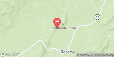 San Francisco River Near Reserve
|
3350cfs |
Area Campgrounds
| Location | Reservations | Toilets |
|---|---|---|
 Upper Scorpion Campground
|
||
 Lower Scorpion Campround
|
||
 Scorpion - Gila Cliff Dwelllings
|
||
 Forks
Forks
|
||
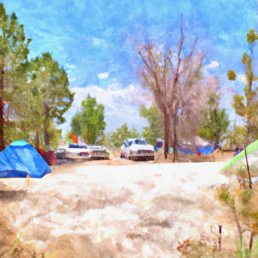 Forks Campground
|
||
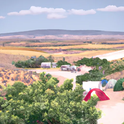 Grapevine
|
River Runs
-
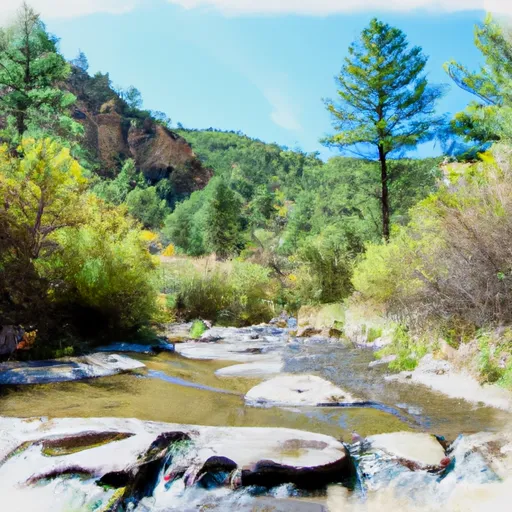 Headwaters In Gila National Forest To Eastern Boundary Of Gila Cliff Dwellings National Monument
-
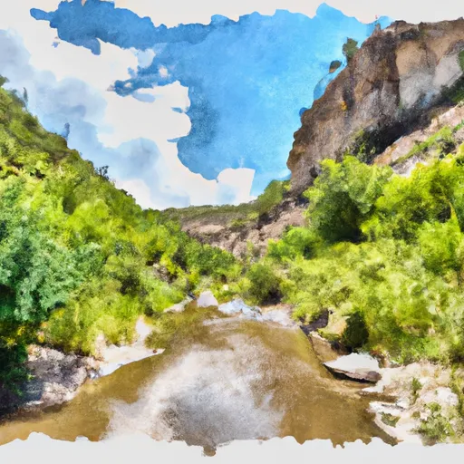 Headwaters To Northern Boundary Gila Cliff Dwellings Nm
-
 Northern Boundary Nm To Eastern Boundary Gila Cliff Dwellings Nm
-
 Gila Wilderness Boundary (Below Snow Lake) To Gila Wilderness Boundary (Sec 24, T12S, R14W)
-
 Wilderness Run
-
 Gila Wilderness Boundary To Confluence With East Fork Gila River

