Summary
The ideal streamflow range for this run is between 200-500 cfs. The run is rated as Class III-IV, meaning it has moderate to difficult rapids with a moderate degree of danger. The segment mileage for this run is approximately 10 miles, starting from the Gila Wilderness Boundary below Snow Lake to the Gila Wilderness Boundary in Section 24, Township 12 South, Range 14 West.
The river has many rapids and obstacles that require technical skills to navigate. Some of the notable rapids include Snow Lake Rapid, which is a Class IV rapid with a steep drop and a narrow chute. Another challenging rapid is the Box, which is a Class III rapid with a series of tight turns and steep drops. The run also features several boulder gardens and technical sections that require precise maneuvering.
There are specific regulations for this area, including a permit requirement for overnight camping and a limit on group size. Visitors are also required to practice Leave No Trace principles to protect the fragile wilderness environment.
°F
°F
mph
Wind
%
Humidity
15-Day Weather Outlook
River Run Details
| Last Updated | 2026-02-07 |
| River Levels | 1 cfs (1.15 ft) |
| Percent of Normal | 35% |
| Status | |
| Class Level | iii-iv |
| Elevation | ft |
| Streamflow Discharge | cfs |
| Gauge Height | ft |
| Reporting Streamgage | USGS 09430600 |
5-Day Hourly Forecast Detail
Nearby Streamflow Levels
 Gila River Near Gila
|
70cfs |
 Mogollon Creek Near Cliff
|
10cfs |
 Mimbres River At Mimbres
|
5cfs |
 San Francisco River Near Glenwood
|
24cfs |
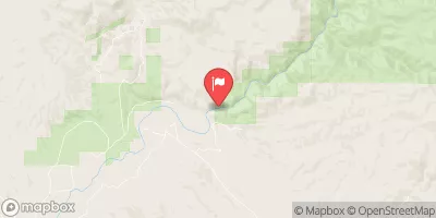 Gila River Near Redrock
|
87cfs |
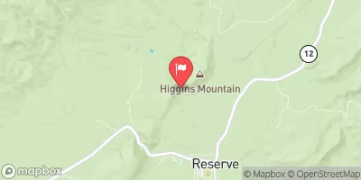 San Francisco River Near Reserve
|
3350cfs |
Area Campgrounds
| Location | Reservations | Toilets |
|---|---|---|
 Scorpion - Gila Cliff Dwelllings
|
||
 Lower Scorpion Campround
|
||
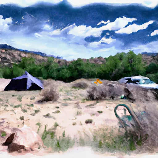 Upper Scorpion Campground
|
||
 Forks
Forks
|
||
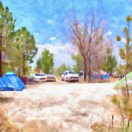 Forks Campground
|
||
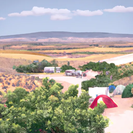 Grapevine
|
River Runs
-
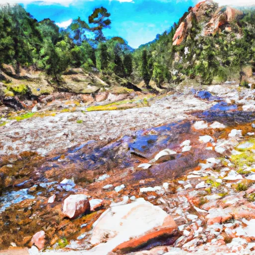 Gila Wilderness Boundary (Below Snow Lake) To Gila Wilderness Boundary (Sec 24, T12S, R14W)
-
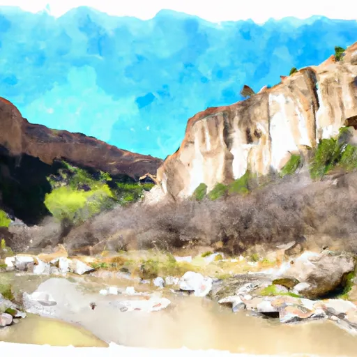 Northern Boundary Nm To Eastern Boundary Gila Cliff Dwellings Nm
-
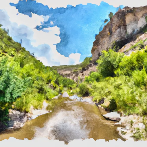 Headwaters To Northern Boundary Gila Cliff Dwellings Nm
-
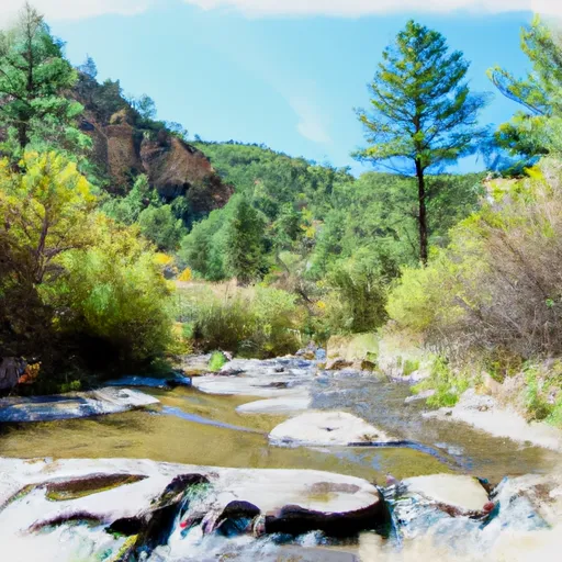 Headwaters In Gila National Forest To Eastern Boundary Of Gila Cliff Dwellings National Monument
-
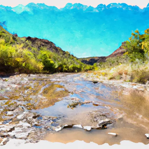 Gila Wilderness Boundary To Confluence With East Fork Gila River
-
 Wilderness Run

