2026-02-14T05:00:00-07:00
* WHAT...Snow expected. Total snow accumulations between 4 and 8 inches above 8,500ft with lesser amounts below. * WHERE...Northern and Southern Sangre de Cristo Mountains, and Tusas Mountains Including Chama. * WHEN...Until 5 AM MST Saturday. * IMPACTS...High mountain roads and passes will likely become slick and hazardous. Travel could be very difficult. Tire traction will be reduced. Extend the distance between your vehicle and the vehicle in front of you.
Summary
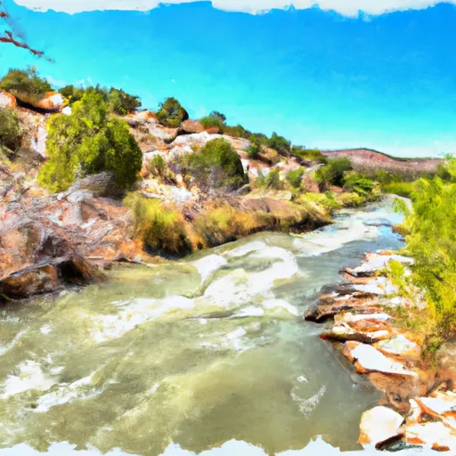
The ideal streamflow range for this river run is between 400 and 1,000 cubic feet per second (cfs), which typically occurs in the months of May and June. The river is rated Class III-IV, with rapids and obstacles such as "The Box," "The Maze," and "The Chute."
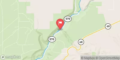
The segment mileage of the Whitewater River run is approximately 12 miles, starting at the headwaters and ending at the confluence with Rio Grande Del Rancho. It is important to note that this river run is not for beginner paddlers and requires experience and skill.
There are specific regulations to the area, including a permit requirement from the Bureau of Land Management. Additionally, all boaters must wear a personal flotation device (PFD) and have a throw bag and whistle on hand. Alcohol and drugs are not permitted on the river, and camping is only allowed in designated areas.
Overall, the Whitewater River run is a thrilling and challenging adventure for experienced paddlers. It is important to adhere to the regulations and safety guidelines to ensure a successful and enjoyable trip. Sources for this information include American Whitewater and the Bureau of Land Management.
°F
°F
mph
Wind
%
Humidity
15-Day Weather Outlook
River Run Details
| Last Updated | 2026-01-12 |
| River Levels | 49 cfs (5.29 ft) |
| Percent of Normal | 103% |
| Status | |
| Class Level | iii-iv |
| Elevation | ft |
| Streamflow Discharge | cfs |
| Gauge Height | ft |
| Reporting Streamgage | USGS 08275500 |
5-Day Hourly Forecast Detail
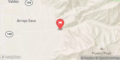
Nearby Streamflow Levels
Area Campgrounds
| Location | Reservations | Toilets |
|---|---|---|
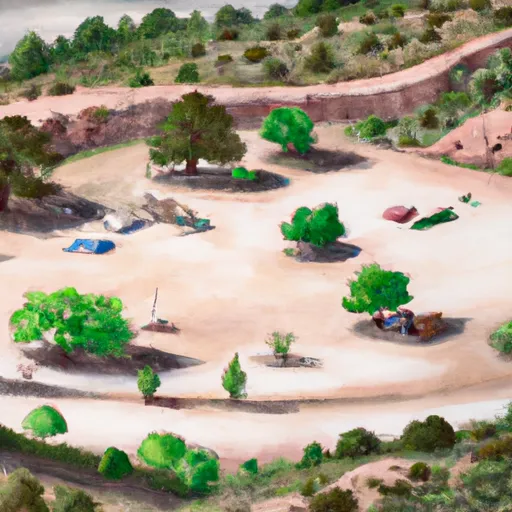 Comales
|
||
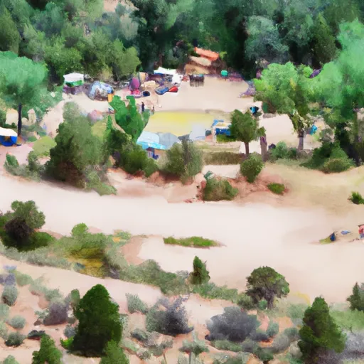 Comales Campground
|
||
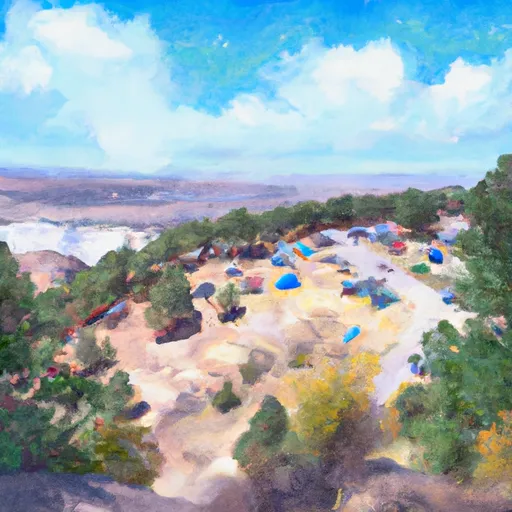 Flechado
|
||
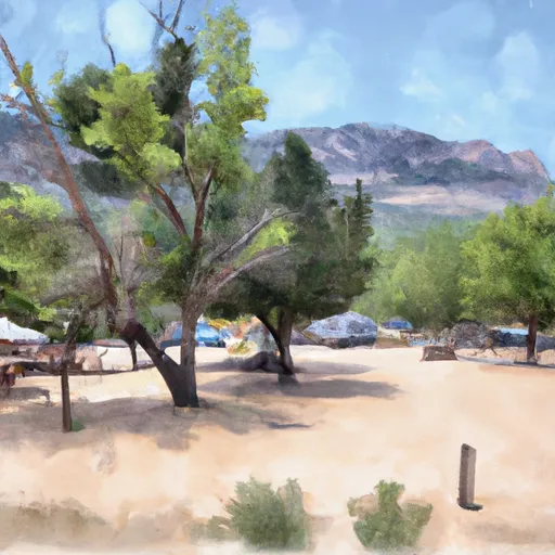 Llanito Frio Campground
|
||
 Rio Chiquito
|
||
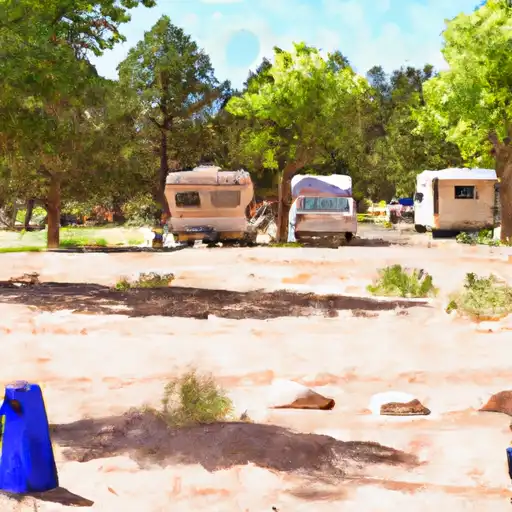 La Sombra
|
River Runs
-
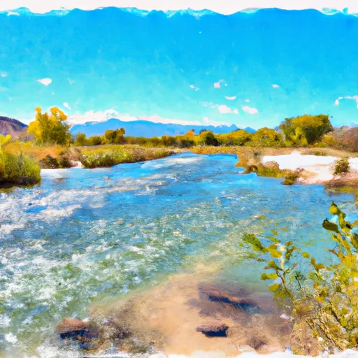 Headwaters To Confluence With Rio Grande Del Rancho
-
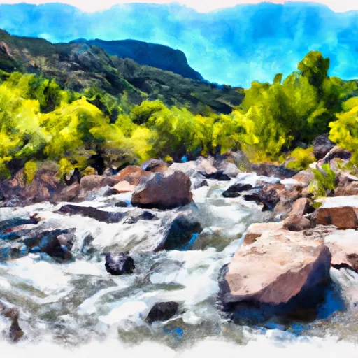 Headwaters To Confluence With Rito De La Olla
-
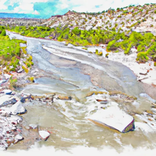 Confluence With Rito De La Olla To Nf Boundary
-
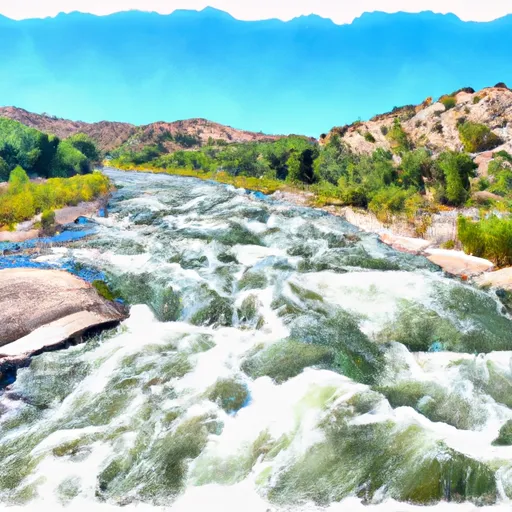 Confluence With Rio Angostura To Osha Diversion
-
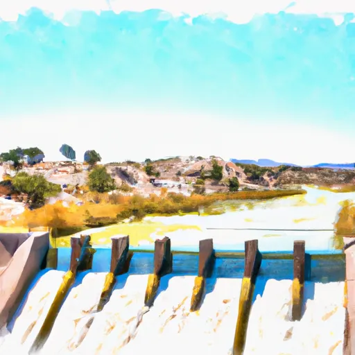 (La Cueva, Flechado, Gallegos, Tio Maes, La Presa) To Osha Diversion
-
 Serna Land Grant Boundary To Nf Boundary


